
An independently researched West Lothian walking guide
6 of the best dog walks in West Lothian
Six checked West Lothian dog walks, from a 25-minute country park loop to a 6.8km circuit, with exact starts, official routes and the livestock and wildlife rules that matter.
Researched by Pet Storybook Details verified 22 September 2026
Start here
Which West Lothian dog walk fits today?
Six published routes worth planning properly
This chooser uses bounded routes from West Lothian Council, Historic Environment Scotland, National Trust for Scotland and NatureScot. Every profile separates the exact arrival from the route and records surfaces, parking, facilities and dog restrictions.
Gate times, livestock, wildlife, mud, algae and temporary works can change. Carry water and a lead, download the managing body’s route before setting out and let current signs and staff instructions override this checked guide.
Bathgate Hills A longer, mostly surfaced country park loop
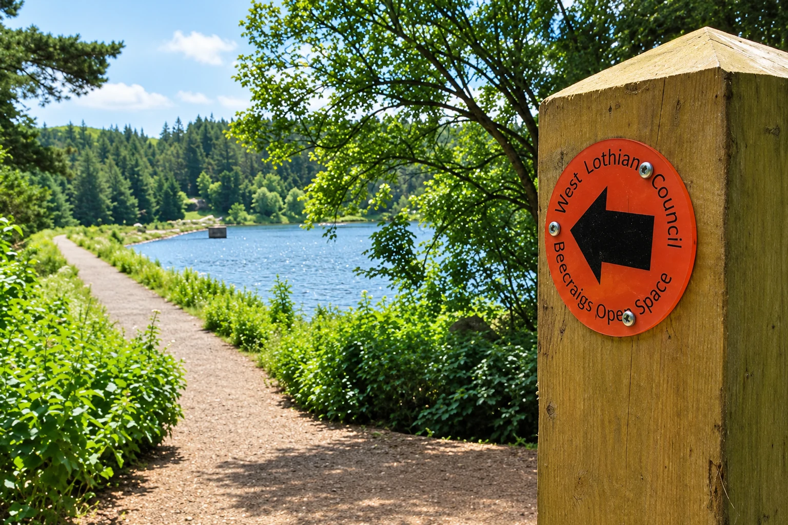
Beecraigs Orange Route
- Distance
- 6.8km
- Time
- No official time published
- Ground
- Mostly surfaced multi-user paths, shared with walkers, riders and cyclists
- Start
- Beecraigs Visitor Centre, Linlithgow EH49 6PL
The route
Follow the orange discs from the visitor centre around the official 6.8km circuit. The council marks it as the longest but easiest of the park loops, says it can be walked in either direction and distinguishes it from the rougher Purple Route.
Open the official Beecraigs route mapWhat dog owners need to know
Keep dogs under control, stop them chasing or worrying wildlife and livestock, and pick up waste. The council specifically asks for close control around sheep and cattle. Use a short lead or close heel in livestock fields and during the usual April to July ground-nesting bird season.
Before you go
The visitor-centre car park closes at 21:00 in summer and 19:00 in winter. Busy-day overflow is at Hillhouse, about three minutes away, but its gate closes at 18:30 in summer and 15:30 in winter. Toilets follow visitor-centre hours and close on 25 and 26 December and 1 and 2 January. Bring dog water because no drinking-water point is promised.
Watch for: This is a shared-use trail. Give horses and cyclists room, watch the seasonal gate times and follow temporary livestock signs.
Whitburn A short pond and woodland circuit
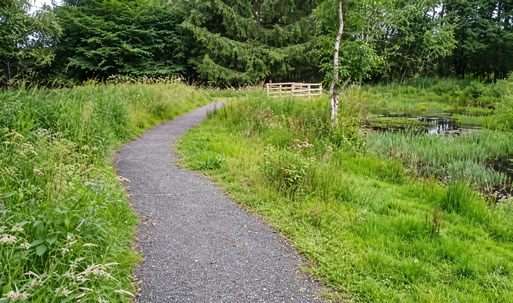
Polkemmet Blue Route
- Distance
- About 1.6km
- Time
- About 25 minutes
- Ground
- Surfaced path around the pond; the approach from the Train car park is level and at least 1600mm wide
- Start
- Polkemmet Country Park, Whitburn, Bathgate EH47 0AD
The route
Use the blue waymarkers for the council’s short circuit beside the pond and through the country park. The official map publishes the Blue Route as about 1.6km and 25 minutes, separate from the longer 2.3km Red Route.
Open the official Polkemmet route mapWhat dog owners need to know
Keep dogs under control and pick up waste. The country park welcomes dogs and the accessibility guide lists the cafe as dog friendly. Use a short lead or close heel whenever livestock, wildlife or busy shared paths require it.
Before you go
The park has Train, Golf, Driving Range and South car parks, with six accessible bays near the visitor centre. The main gate closes at 21:00 from April to September and 20:00 from October to March. The park is open year-round, but the visitor centre and public toilets close on 25 and 26 December and 1 and 2 January. Bring dog water.
Watch for: A surfaced pond section does not make the whole route universally accessible. The council advises contacting the visitor centre about the best route for individual access needs.
Linlithgow A palace, loch and town circuit
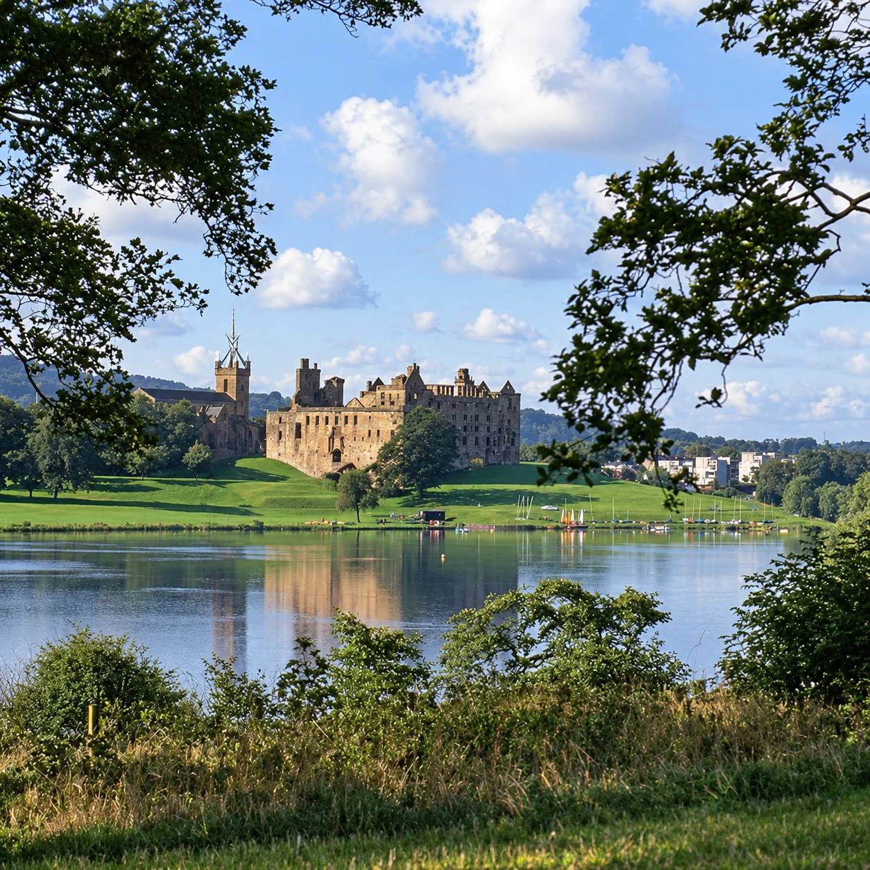
Linlithgow Loch Circular
- Distance
- 2.3 miles (3.7km)
- Time
- About 1 hour
- Ground
- Tarmac, whindust and unsurfaced sections, with narrow stretches, kissing gates and mud on the east side
- Start
- Linlithgow Palace, Kirkgate, Linlithgow EH49 7AL
The route
Follow council core path WL3 around the loch. The southeast section leaves the Peel for the A803, then uses the roadside pavement to Fiddler’s Croft before the path returns along the north and east shores.
Open the official Linlithgow Loch route mapWhat dog owners need to know
Historic Environment Scotland requires dogs on leads at all times at the Palace and Peel start and excludes them from roofed areas. Keep close control around the loch’s wildfowl and use a short lead or close heel during the usual April to July ground-nesting bird season.
Before you go
On-site parking is limited, with two accessible bays plus height and width restrictions. Benches and picnic tables are available. HES provides a temporary toilet; the nearest adapted toilet is at the Vennel, about 350 metres away. Bring dog water.
Watch for: The route is busy in summer and at weekends. Keep dogs out of water showing blue-green algae and follow current signs; council guidance says exposed dogs can become ill and need veterinary attention.
Near Linlithgow A short estate walk to a hilltop folly
House of the Binns tower circular
- Distance
- 1km circular
- Time
- Up to 30 minutes
- Ground
- Uneven and steep in places, with woodland steps and stone field steps
- Start
- House of the Binns, Binns View, Linlithgow EH49 7NA
The route
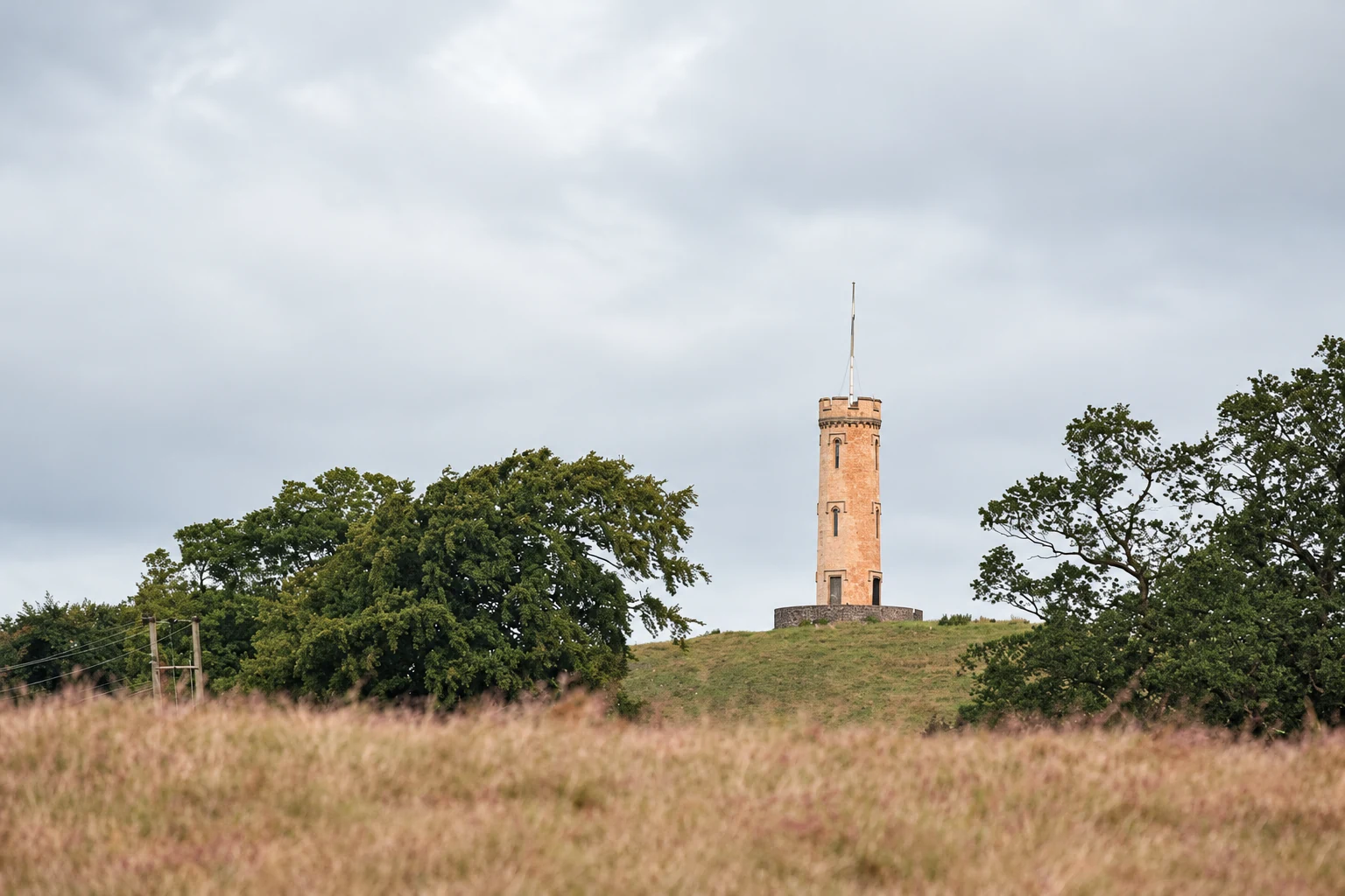
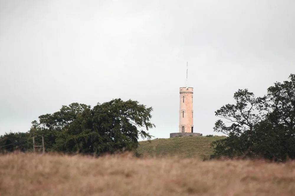
From the house, follow the National Trust for Scotland’s described circular through the east woods to the tower. Return south of the hill through the small gate and pass the smokehouse on the way back.
Open the official House of the Binns access guideWhat dog owners need to know
Dogs must stay on a lead because of livestock. Use a short lead and close control around peafowl and grazing animals, and do not take a dog into the parkland when lambs or calves are present.
Before you go
The estate is open daily from dawn to dusk all year. The car park has 26 spaces and two accessible bays at the house. Toilets are tied to house opening rather than daily estate access, and no drinking-water point is promised. There is no direct bus; the nearest stop involves a busy road without pavement.
Watch for: The route is not wheelchair accessible. House tours have separate pre-booked hours and are not part of this outdoor walk.
Blackridge A short raised-bog boardwalk
Blawhorn Moss boardwalk route
- Distance
- 2km return
- Time
- No official time published
- Ground
- A 700m wide surfaced approach with a gentle to moderate slope, then a short circular boardwalk
- Start
- Reserve car park off the A89 west of Blackridge, grid reference NS878676
The route
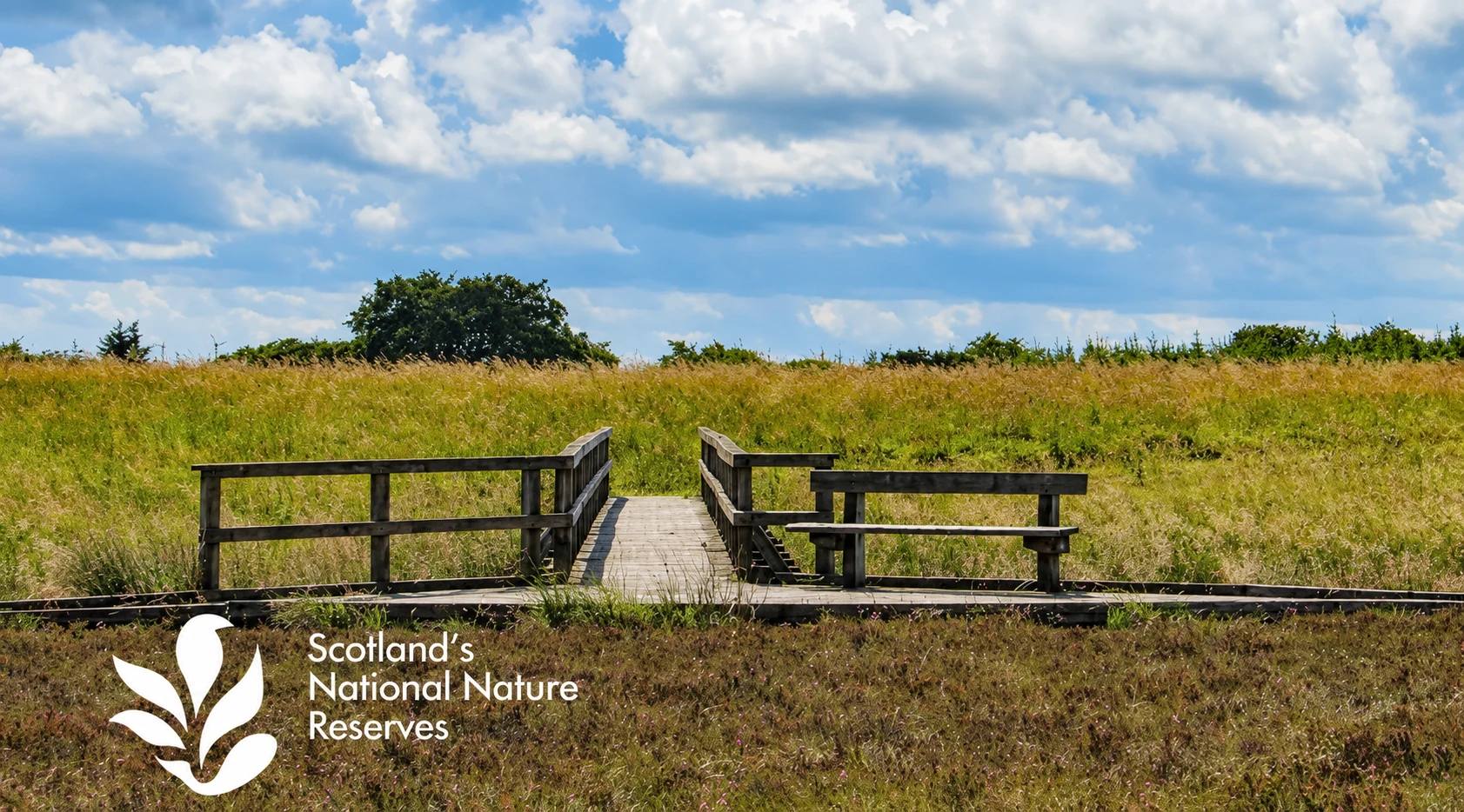
Take the wide surfaced track from the car park for about 700 metres to the reserve, then follow the short circular boardwalk through the raised bog before returning on the same access track.
Open the official Blawhorn Moss visit pageWhat dog owners need to know
NatureScot asks for dogs on a short lead or under close control and for waste to be picked up. Keep to the boardwalk and path to protect the bog and use close control around red grouse, roe deer and other wildlife.
Before you go
The car park is at the end of an unmarked access road north of the A89, west of Blackridge. NatureScot says access may close at 18:00 in winter and 21:00 in summer, and a barrier restricts high and wide vehicles. No toilets or drinking-water point are promised, so bring water.
Watch for: The bog has soft ground, deep pools and ditches. Stay on the boardwalk and obey current closure signs. The live page still shows a restoration notice for August to December 2025, so check it before travel rather than treating that old period as a present closure.
Broxburn A riverside history trail with nine stops
Almondell Community Heritage Trail
- Distance
- Nine-stop route; no official distance published
- Time
- No official time published
- Ground
- Mainly flat surfaced paths through woodland and beside the River Almond
- Start
- Almondell Country Park North Car Park, Broxburn EH52 5PE
The route
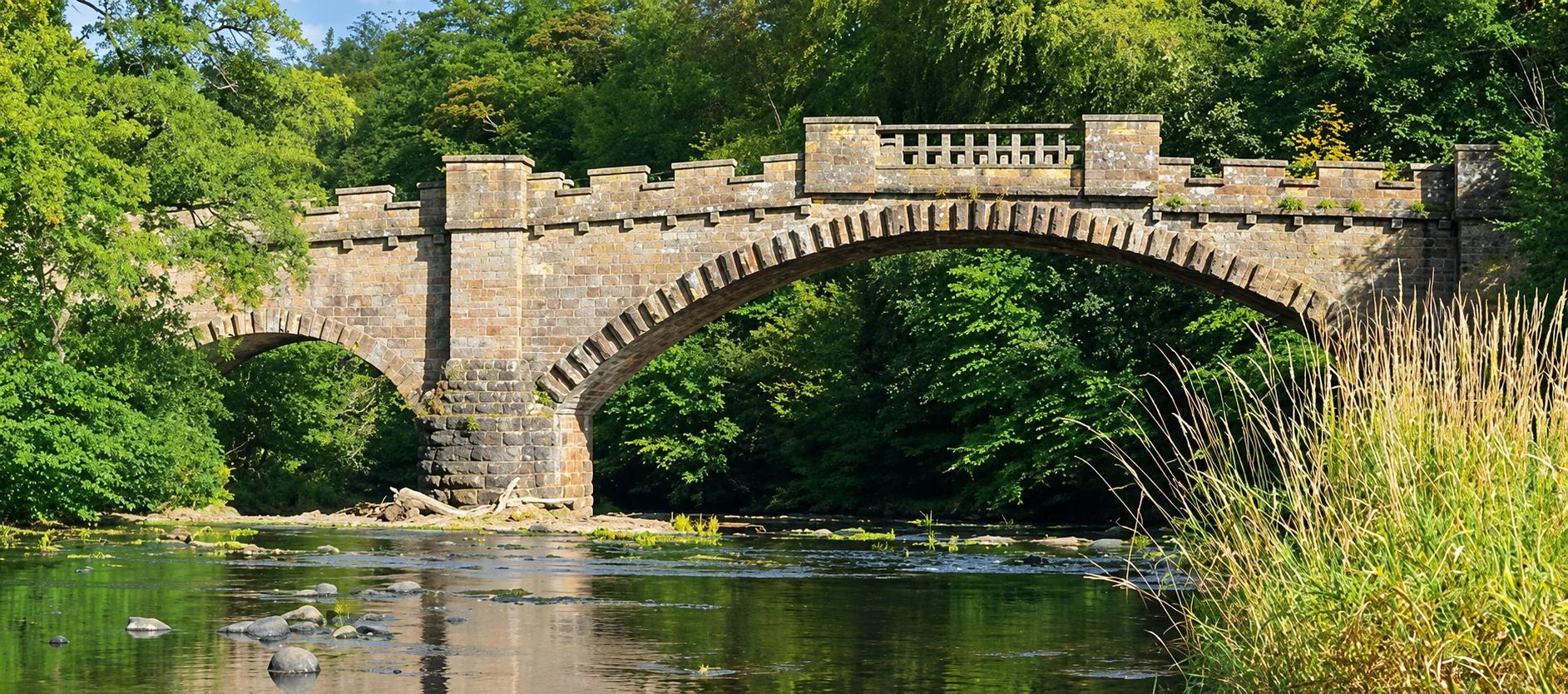
Follow the nine numbered heritage boards linking the former house site, Nasmyth Bridge, feeder aqueduct, Camps Viaduct, Dell Bridge and memorials, Mandela Bridge, walled garden, visitor-centre stable block and Kirkhill Pillar. The official leaflet fixes the route but does not publish a distance or time.
Open the official Almondell Heritage Trail leafletWhat dog owners need to know
West Lothian Council requires dogs under proper control. Use a lead around wildlife, livestock and busy shared spaces, follow local signs and pick up waste. The Scottish Outdoor Access Code asks for a short lead or close heel during the usual April to July ground-nesting bird season.
Before you go
North car park is closest to the visitor centre and opens 09:00 to dusk in summer, 10:00 to 16:00 in winter. Visitor-centre and toilet hours are 09:00 to 17:00 from 30 March to 25 October 2026, then 10:00 to 16:00 to 28 March 2027, with a 12:30 to 13:00 lunch closure. They close on 25 and 26 December and 1 and 2 January. Bring dog water.
Watch for: The park is open year-round, but gated parking and facilities keep shorter seasonal hours. Do not use the missing distance as permission to invent a mileage estimate.
Parking, closures and seasonal access
Planning your West Lothian dog walk
Use the exact named arrival, check gate and facility times, bring water and carry a lead. Under the Scottish Outdoor Access Code, never let a dog worry livestock, avoid fields with lambs, calves or other young animals, and use a short lead or close heel around livestock. On moorland, forests, grasslands and loch shores, do the same during the usual April to July ground-nesting bird season.
The useful short answers
Before you choose a West Lothian dog walk
Which West Lothian dog walk is shortest?
House of the Binns publishes a 1km woodland tower circular taking up to 30 minutes. Polkemmet’s Blue Route is about 1.6km and 25 minutes, with a surfaced pond section and a level approach from the Train car park.
Which route is best for a longer walk?
Beecraigs Orange Route is the longest selected circuit at 6.8km. The council calls it the easiest of the park’s waymarked loops and says most of it is surfaced, but it is still a shared trail with livestock and seasonal gate times.
Do dogs need to stay on leads?
House of the Binns requires a lead because of livestock, and HES requires leads at the Linlithgow Palace and Peel start. Elsewhere use proper control, then switch to a short lead or close heel around livestock and during the usual April to July ground-nesting bird season.
Which walk has the best facilities?
Beecraigs, Polkemmet and Almondell have visitor centres and toilets, but hours and holiday closures vary. Linlithgow has a temporary toilet at the palace and an adapted toilet about 350 metres away. Blawhorn does not promise toilets or drinking water.
Can dogs swim in Linlithgow Loch?
Keep dogs out when blue-green algae is visible or warnings are posted. West Lothian Council specifically warns that dogs exposed at Linlithgow Loch can become ill and owners should seek veterinary advice.
How current is this guide?
Every route, arrival and dog rule was checked against its managing body on 22 September 2026. Gate times, facilities, livestock, algae and temporary closures can change faster than editorial copy, so official pages and on-site signs remain the final authority.
Help keep this guide useful
Is something wrong?
Dog rules, closures and access can change. Tell us what you spotted and we will check it against the latest official source before changing the guide.