
An independently researched Peak District walking guide
6 of the best dog walks in the Peak District
Six checked Peak District dog walks, from an easy Bakewell riverside hour to a challenging Kinder Scout day, with exact starts, official routes and the lead rules that matter.
Researched by Pet Storybook Details verified 22 September 2026
Start here
Which Peak District dog walk fits today?
Six published routes worth planning properly
These are bounded routes published by the National Trust or Peak District National Park Authority. Every profile separates the exact Google Maps arrival from the route instructions and states the ground, parking, facilities, livestock and wildlife limits.
Weather, ground and livestock can change quickly across the Peak District. Carry water and a lead, download the manager route before leaving signal and let closures, signs and ranger instructions on the day override this checked guide.
Hope Valley An iconic ridge on a compact circuit
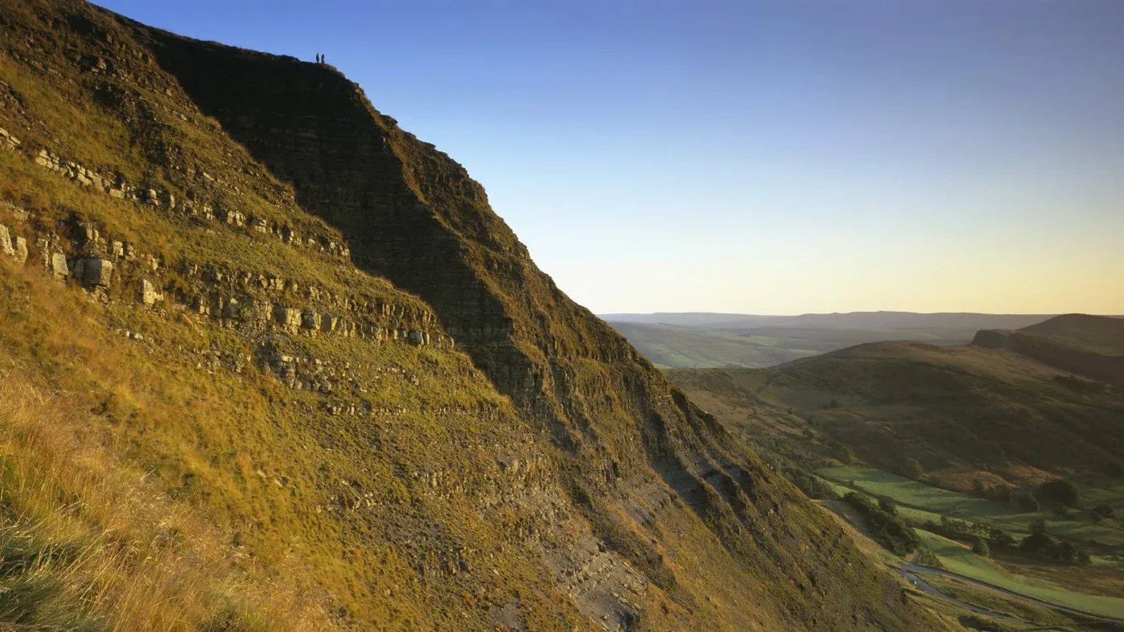
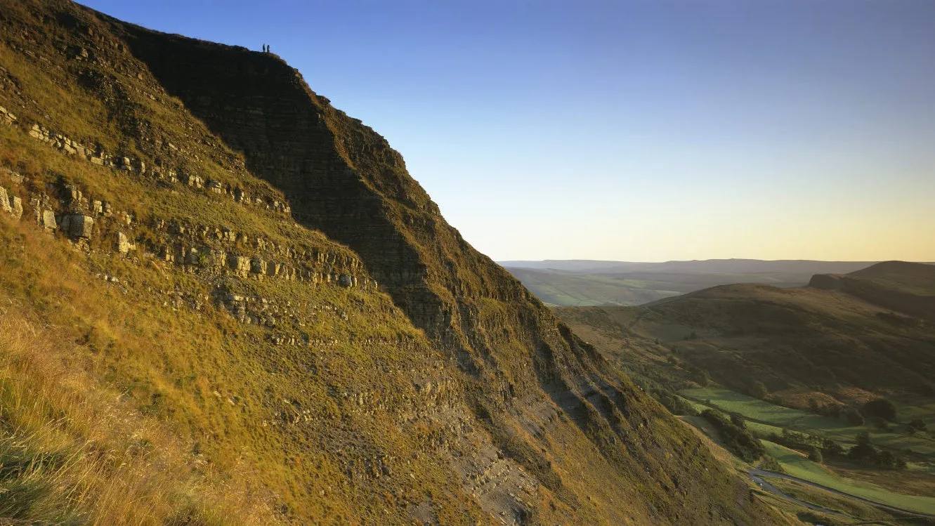
Mam Tor circular walk
- Distance
- 3 miles (4.8km)
- Time
- About 2 hours
- Ground
- Good paths with steps, steep climbs, gates and stiles; slippery after wet weather
- Start
- Mam Nick car park, grid reference SK123832
The route
Follow the National Trust’s ten-stage circular from Mam Nick car park to the Mam Tor summit, along the ridge and down towards the broken road, Blue John Cavern and Windy Knoll before returning across the field to the car park.
Open the official Mam Tor circular walkWhat dog owners need to know
Well behaved dogs are welcome on leads and must stay on leads at all times because farm animals graze here. There are no bins, so take dog waste home. Barbecues and campfires are prohibited.
Before you go
Mam Nick is a very small car park and can fill by 9am during peak periods. Nonmembers use the JustPark option. The current route page lists £6 for up to four hours or £8 all day. There are no toilets at the car park, so bring water and plan facilities before arrival.
Watch for: Use designated spaces only and return later if the car park is full. Steep paths can become slippery after rain.
Edale A demanding moorland day
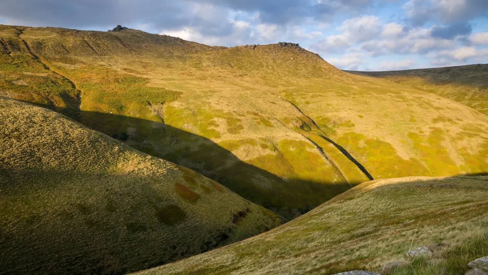
Kinder Scout circular walk
- Distance
- 7.5 miles (12km)
- Time
- 4 hours 30 minutes to 5 hours 30 minutes
- Ground
- Rugged paths, challenging steep ascents and descents, and exposed moorland
- Start
- Edale train station, grid reference SK124856
The route
Leave Edale station for the village and join the Pennine Way towards Upper Booth and Jacob’s Ladder. The eight-stage National Trust route crosses the Kinder plateau on surfaced moorland paths, passes the Wool Packs and Crowden Tower, then descends through Grindsbrook to Edale.
Open the official Kinder Scout circular walkWhat dog owners need to know
Dogs must stay on leads at all times. Take dog waste home because there are no bins. Kinder Scout supports ground nesting birds, and barbecues, campfires and outdoor cooking equipment are prohibited.
Before you go
The station is the clearest arrival and makes this the rail-friendly choice. The route page lists wider area parking rather than a dedicated station car park and does not promise trailhead toilets. Carry dog water, hill kit and a downloaded route.
Watch for: This is a long, exposed moorland route. Tell someone when you expect to finish and turn back if weather or visibility deteriorates.
Longshaw An easy woodland and meadow loop
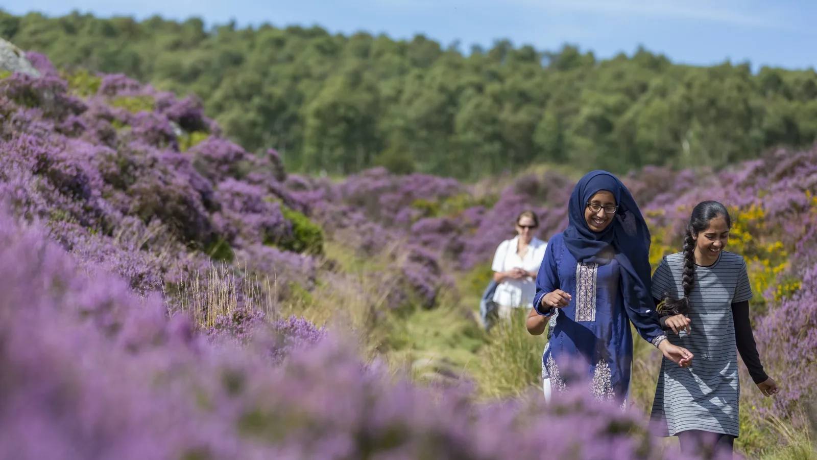
Padley Gorge and Burbage Brook
- Distance
- 2.3 miles (3.68km)
- Time
- About 1 hour
- Ground
- Good paths and drives with gates, stiles and a short steep stepped section
- Start
- Longshaw cafe, grid reference SK264798
The route
Follow the pink waymarkers from Longshaw cafe through the meadow, around the pond and down through Granby Wood. Cross Burbage Brook beside Padley Gorge, then complete the National Trust’s nine-stage circular back to Longshaw.
Open the official Padley Gorge routeWhat dog owners need to know
Dogs must stay on leads to avoid disturbing farm animals and wildlife. Use a short lead at all times on the section beside cattle and ground nesting birds.
Before you go
Pay and display parking is available at Haywood, Wooden Pole and Woodcroft, with National Trust member benefits. Use S11 7TZ. Toilets are at Longshaw cafe, which is listed as open daily. No drinking water point is promised, so bring dog water.
Watch for: The easy grade still includes stiles, gates and a short set of steep steps. Read livestock signs before crossing the meadow.
White Peak A limestone valley landmark
Ilam Park to Dovedale Stepping Stones
- Distance
- 1.5 miles (2.4km) one way
- Time
- About 40 minutes one way
- Ground
- Fields, slopes, steps and uneven ground that can be muddy and slippery
- Start
- Ilam Park, Ilam, Derbyshire DE6 2AZ, grid reference SK132507
The route
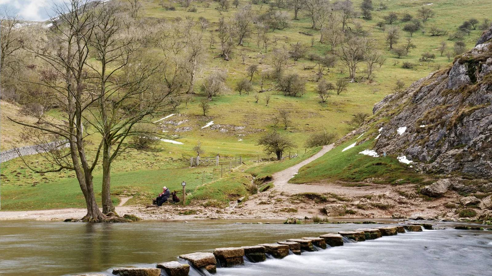
Walk from Ilam Park through the village and beneath Bunster Hill, then follow the surfaced track from Dovedale car park into the valley and finish at the stepping stones. The manager suggests a wall-side option that avoids cow fields and takes about ten minutes longer. Walking back to Ilam makes a roughly 3 mile outing.
Open the official Ilam to Dovedale routeWhat dog owners need to know
Dogs must stay on leads around grazing animals and throughout Dovedale National Nature Reserve. Use the manager’s wall-side option if you want to avoid the fields with cows.
Before you go
Ilam Park car park is open dawn to dusk with no overnight parking and can fill by 9am on busy days. Toilets and the Stableyard Grab and Go are at Ilam. The route reaches public toilets at Dovedale, currently 20p. Bring dog water.
Watch for: The published distance and time are one way. Stepping stones can become impassable after heavy rain, and the scree slopes beside the route are unstable.
Bakewell An easy town and riverside hour
Bakewell Family Walk
- Distance
- 2 miles (3.2km)
- Time
- About 1 hour
- Ground
- Mostly surfaced pavement with a riverside field, narrow paths and a busy road crossing
- Start
- Bakewell Visitor Centre, The Old Market Hall, Bridge Street, Bakewell DE45 1DS
The route
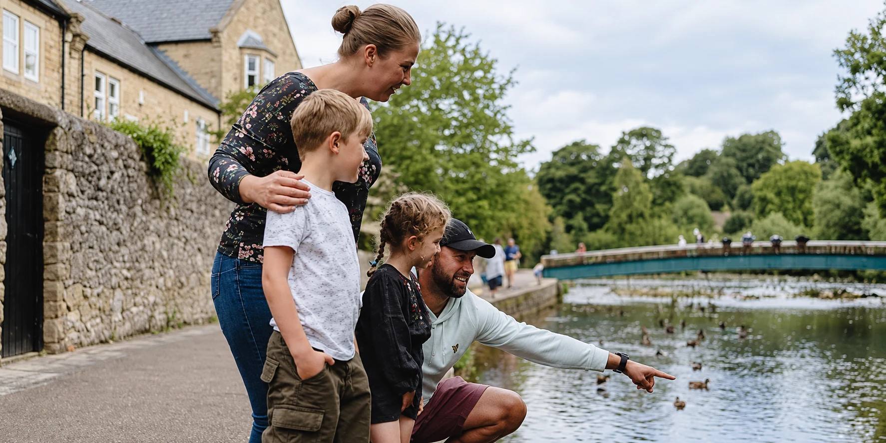
From Bakewell Visitor Centre, cross at the pedestrian crossing and follow Castle Street and Brookside towards Holme Bridge. The National Park route crosses a riverside field, follows the River Wye through Scott’s Garden and Bakewell Bridge, then loops through the town park before returning to the centre.
Open the official Bakewell Family WalkWhat dog owners need to know
Dogs are welcome but must stay on a lead. The route page also asks walkers to keep dogs leashed to avoid disturbing ground nesting birds and other wildlife, clean up waste and use the gates and stiles provided.
Before you go
The route starts by the visitor centre, pay and display parking, toilets and cafes. Several pay and display car parks are listed. No drinking water point is promised, so bring dog water.
Watch for: Use the pedestrian crossing on the busy town road. The route needs an all terrain buggy and includes a field and narrow riverside paths.
Eastern Moors Wildlife and open gritstone edges
Froggatt, Curbar and White Edge red deer circular
- Distance
- 6 miles (9.6km)
- Time
- 2 hours 30 minutes to 3 hours
- Ground
- Mostly flat with steep sections and narrow, stony woodland paths
- Start
- Curbar Gap car park, grid reference SK262747
The route
Follow the National Trust’s eleven-stage circuit east from Curbar Gap, north along White Edge and west towards the Grouse Inn. Cross carefully at Haywood, then return south along Froggatt and Curbar Edges to the car park.
Open the official Froggatt, Curbar and White Edge routeWhat dog owners need to know
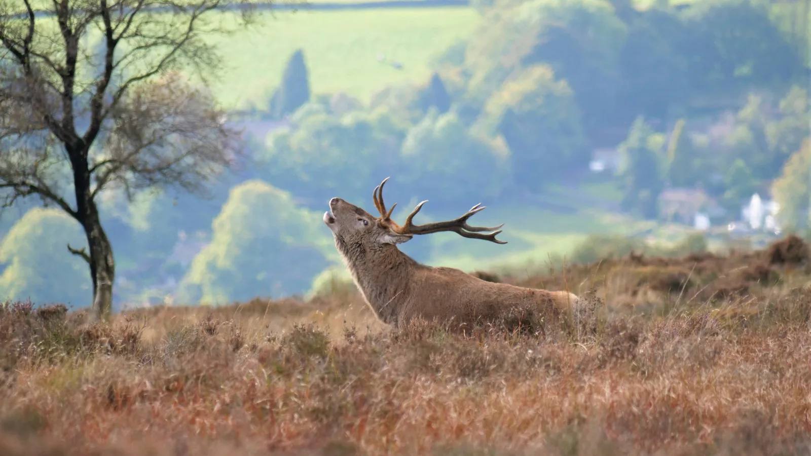
Dogs must stay on leads to protect wildlife and avoid disturbing other walkers. Keep well back from red deer and other wildlife. There are no dog bins, so take waste home. Barbecues and campfires are prohibited.
Before you go
Parking is available at Curbar Gap. Toilets, cafe and shop are at Longshaw, 10 to 15 minutes away by car, rather than at the route start. No drinking water point is promised at Curbar Gap.
Watch for: The route includes steep, narrow and stony sections plus a careful main-road crossing. Give deer plenty of space, especially during the autumn rut.
Parking, closures and seasonal access
Planning your Peak District dog walk
Use the exact named arrival rather than a broad postcode, download the manager route before losing signal and carry water for your dog. The National Park Authority states that dogs on Open Access land must use a lead no longer than two metres from 1 March to 31 July each year and at all times near livestock. Each selected route publishes a lead rule, and local signs remain the final instruction.
The useful short answers
Before you choose a Peak District dog walk
Which Peak District dog walk is easiest?
Padley Gorge and Burbage Brook is graded easy at 2.3 miles, although it includes stiles, gates and a short steep stepped section. Bakewell Family Walk is two miles and mostly surfaced, but it includes a riverside field, narrow paths and a busy road crossing.
Do dogs need to stay on leads?
Yes for all six selected routes. The route managers require leads for livestock, wildlife, ground nesting birds or shared paths. Across Open Access land, the legal seasonal rule is a lead no longer than two metres from 1 March to 31 July and at all times near livestock.
Which route is best without a car?
Kinder Scout circular starts at Edale station, making it the clearest rail arrival. It is also the hardest route here, at 7.5 miles across steep and exposed moorland, so a convenient arrival does not make it an easy day.
Which walk has the best facilities?
Bakewell starts by the visitor centre, pay and display parking, toilets and cafes. Padley starts at Longshaw cafe with toilets and nearby parking. Ilam has toilets and takeaway refreshments, but the remaining rural starts have limited or off-site facilities.
How far is the Dovedale Stepping Stones walk?
The manager publishes 1.5 miles and about 40 minutes from Ilam Park to the stepping stones. That is one way. Walking back by the same route makes a roughly 3 mile outing, and the stones can become impassable after heavy rain.
How current is this guide?
Every route, arrival and dog rule was checked against the relevant managing body on 22 September 2026. Closures, livestock, fire risk, water levels and facility status can change faster than editorial copy, so official pages and signs remain the final authority.
Help keep this guide useful
Is something wrong?
Dog rules, closures and access can change. Tell us what you spotted and we will check it against the latest official source before changing the guide.