
An independently researched Northumberland walking guide
6 of the best dog walks in Northumberland
Six checked Northumberland dog walks, from an easy riverside estate circuit to full days on Hadrian’s Wall and the coast, with exact starts, official routes and the dog rules that matter.
Researched by Pet Storybook Details verified 22 September 2026
Start here
Which Northumberland dog walk fits today?
Six published routes worth planning properly
These are bounded manager-published routes rather than broad beauty-spot suggestions. Every profile separates the exact Maps arrival from the official route and states terrain, parking, facilities, livestock and wildlife limits.
Northumberland paths can move quickly from sheltered woodland to exposed ridge, grazing land or beach. Carry water and a lead, open the live manager page before leaving and let closures and signs on the day override this checked guide.
Cambo An easy estate and riverside circuit
Wallington River Walk
- Distance
- 2.6 miles (4.16km)
- Time
- 1 to 2 hours
- Ground
- Natural and surfaced paths with gentle inclines, one stile and stepping stones
- Start
- Wallington Courtyard, grid reference NZ028843
The route
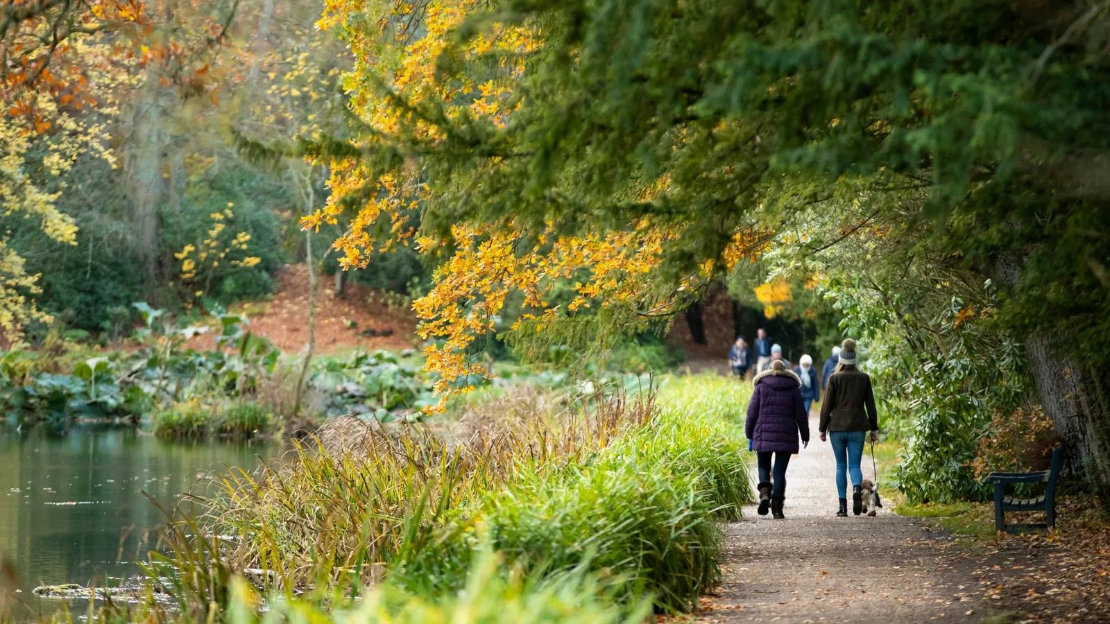
Start in Wallington Courtyard and follow the official nine-stage route through East Wood and the Walled Garden. Cross the River Wansbeck on the stepping stones, continue through Deanham Wood and Wallington Dean, then return through West Wood.
Open the official Wallington River WalkWhat dog owners need to know
Dogs are welcome on a lead for the whole route. The wider estate includes working farms and wildlife habitat, so keep to the path, leave gates as you find them and follow any local livestock signs.
Before you go
Parking is free. The current Wallington visitor page lists toilets, an accessible toilet and the Clocktower Cafe, but estate opening times change by date. Check the live opening table before travelling and carry dog water.
Watch for: The stepping stones can be underwater when the River Wansbeck is high. Ask the team on arrival; the manager directs walkers to Paine’s Bridge when that crossing is closed.
Rothbury Lakes, woodland and engineering history
Cragside Armstrong Trail
- Distance
- 2 miles (3.2km)
- Time
- About 1 hour 30 minutes
- Ground
- A flat first lake circuit followed by established paths, gravel, boardwalk, steep sections and steps
- Start
- Cragside Visitor Centre, grid reference NU073022
The route
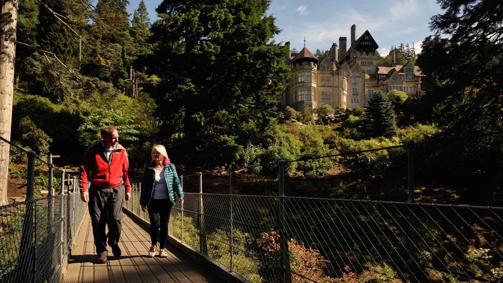
Follow the green waymarkers from the visitor centre around Tumbleton Lake, past the dam and Archimedes Screw, then into Debdon Valley. The route climbs through the Pinetum and rock garden before finishing by Cragside House.
Open the official Armstrong TrailWhat dog owners need to know
Dogs must stay on leads throughout Cragside outdoor spaces because of wildlife, livestock, steep drops and other visitors. Ordinary dogs cannot enter the House, where only assistance dogs are admitted.
Before you go
Parking is free, with designated mobility spaces beside the visitor centre and in the main car park. Toilets, adapted toilets and a cafe are listed. Water bowls are available in the visitor-centre courtyard and outside the House, and the estate lists 11 dog-waste bins.
Watch for: The first lake section is flat, but later paths are steep and include steps. The route finishes near the House rather than exactly where it began.
Bellingham An ancient woodland waterfall
Hareshaw Linn
- Distance
- 3 miles (5km) return
- Time
- 1 hour 30 minutes to 2 hours
- Ground
- A well-signposted woodland path with six bridges, inclines and possible mud
- Start
- Hareshaw Linn National Park Car Park, grid NY840834
The route
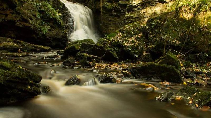
Leave the National Park car park and follow the signed path up the wooded valley. Cross all six bridges to the nine-metre waterfall, then return by the same route. The route passes remains from the former ironworks before entering the ancient woodland.
Open the official Hareshaw Linn route sheetWhat dog owners need to know
The current route sheet says dogs must remain under control. Hareshaw Linn is a Site of Special Scientific Interest for rare ferns and lichens and supports red squirrels, birds and bats, so keep dogs close, stay on the main path and follow local signs.
Before you go
The National Park lists 26 free spaces, including four EV bays and two disabled spaces, plus picnic tables. The route sheet lists toilets and local services in Bellingham rather than at the trailhead. Carry water for your dog.
Watch for: The route can be muddy and has inclines. Several nearby postcodes are published, so use the exact named car park, grid reference or manager directions rather than relying on a postcode alone.
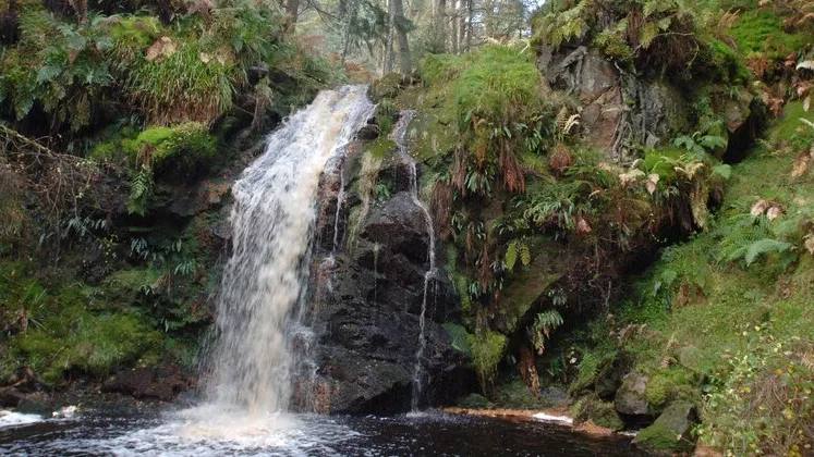
Blakehopeburnhaugh A compact forest waterfall route
Hindhope Linn at Kielder Forest
- Distance
- 1.25 miles (2km)
- Time
- Not stated by the route manager
- Ground
- A moderate forest route through conifer and broadleaf woodland, marked in orange
- Start
- Hindhope Linn, Blakehopeburnhaugh, NE19 1SW
The route
From Blakehopeburnhaugh, follow the orange markers along the forest road and the path above Blakehope Burn to the waterfall. The circuit passes old Scots pine and larch before returning to the picnic area.
Open the official Hindhope Linn trailWhat dog owners need to know
Dogs are allowed. Forestry England asks owners to keep dogs close and in sight, use a lead if recall is unreliable, prevent chasing people or animals and obey local signs. Bag waste and take it away or use a bin.
Before you go
The car park is open dawn to dusk. Parking currently costs £2.50 for up to one hour or £6.50 all day, with a separate £15 overnight charge after 5pm. There are no designated accessible bays. Toilets open from April to October and two picnic areas are listed. Carry dog water.
Watch for: Facilities are seasonal, the route is graded moderate and this is a working forest shared with other visitors. Check current signs before starting.
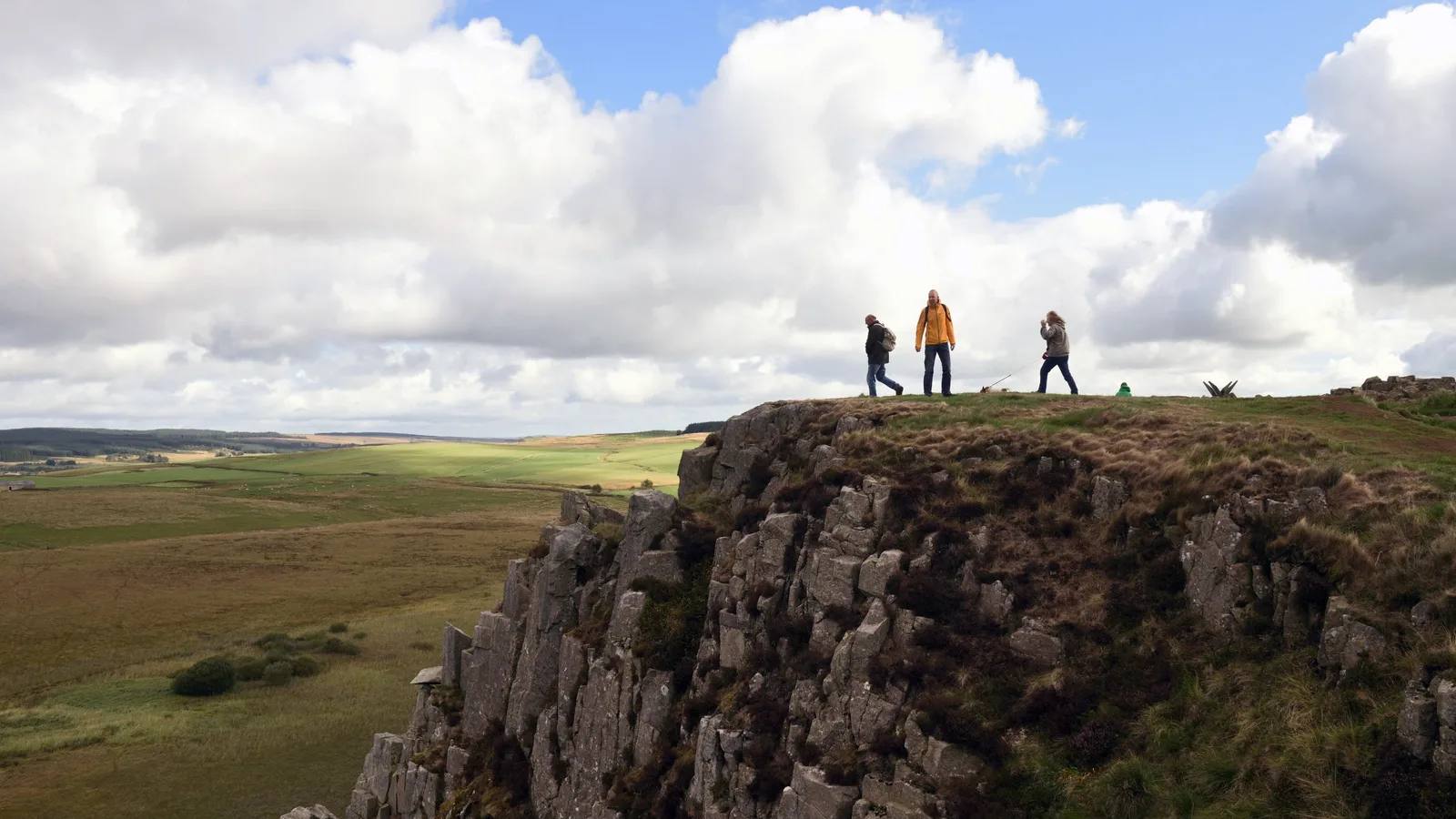
Hadrian's Wall A longer ridge and Roman landscape day
Housesteads to Steel Rigg circular
- Distance
- 8 miles (12.8km)
- Time
- About 3 hours
- Ground
- Established public footpaths with steep climbs, descents, stone-pitched sections and possible mud
- Start
- Housesteads Visitor Centre, grid reference NY793684
The route
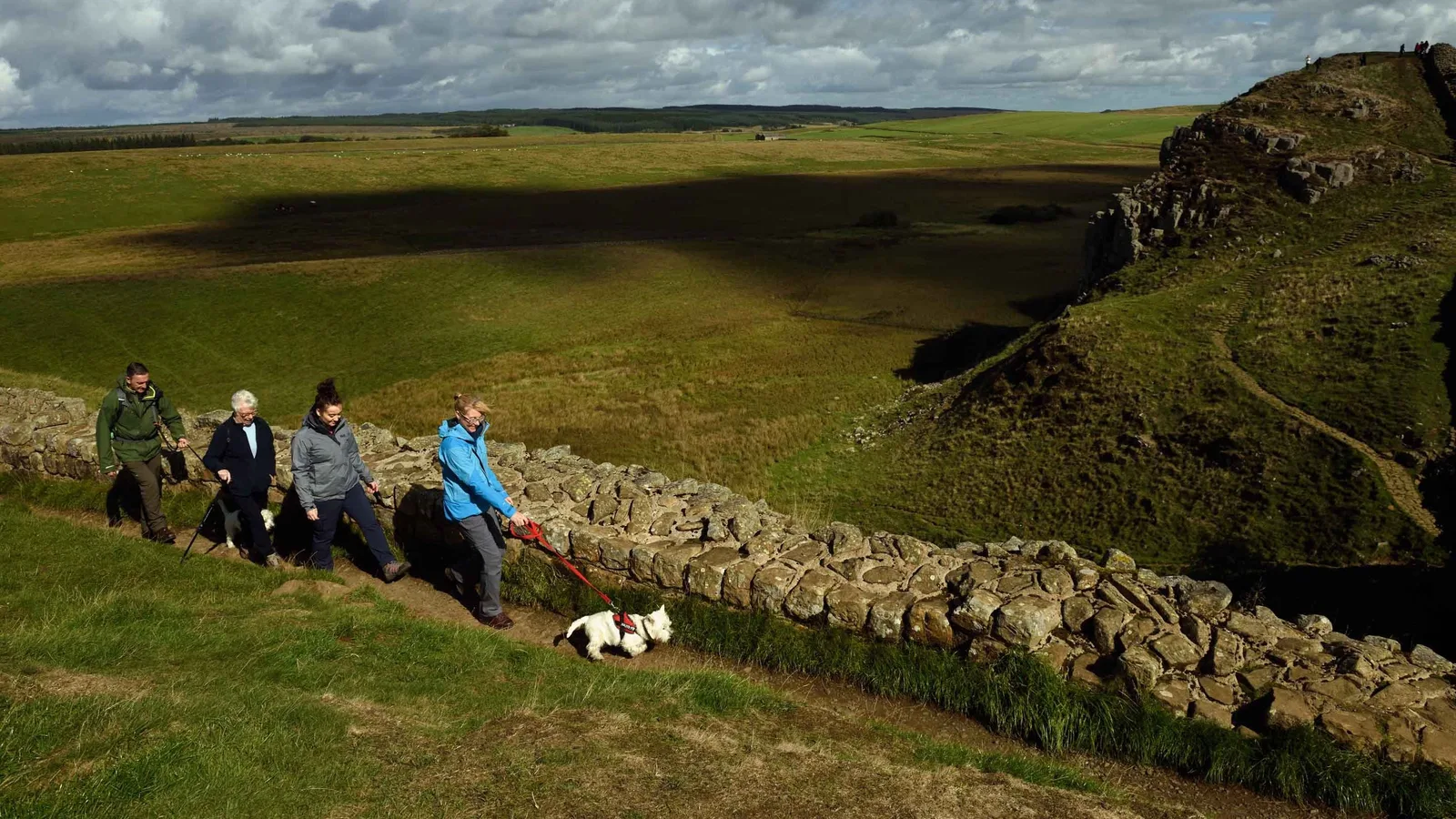
From Housesteads Visitor Centre, climb to the Fort and follow Hadrian's Wall Path west to Steel Rigg. Leave the car park there, follow the inland public footpaths through Hotbank Farm and return east to Housesteads.
Open the official Housesteads to Steel Rigg routeWhat dog owners need to know
Dogs must stay on a lead and under close control at all times. The route crosses open grazing land used by livestock throughout the year and important habitat for ground-nesting birds.
Before you go
Northumberland National Park manages the pay-on-entry car park, and charges apply to members too. The current route page says the visitor centre, its toilets and cafe are closed, with a coffee cart in the car park and toilets at the Fort and The Sill. Check the live page because facilities can change. Carry water.
Watch for: This is an exposed ridge route with steep, muddy sections. Do not rely on the closed visitor-centre facilities, and use the live manager page before travelling.
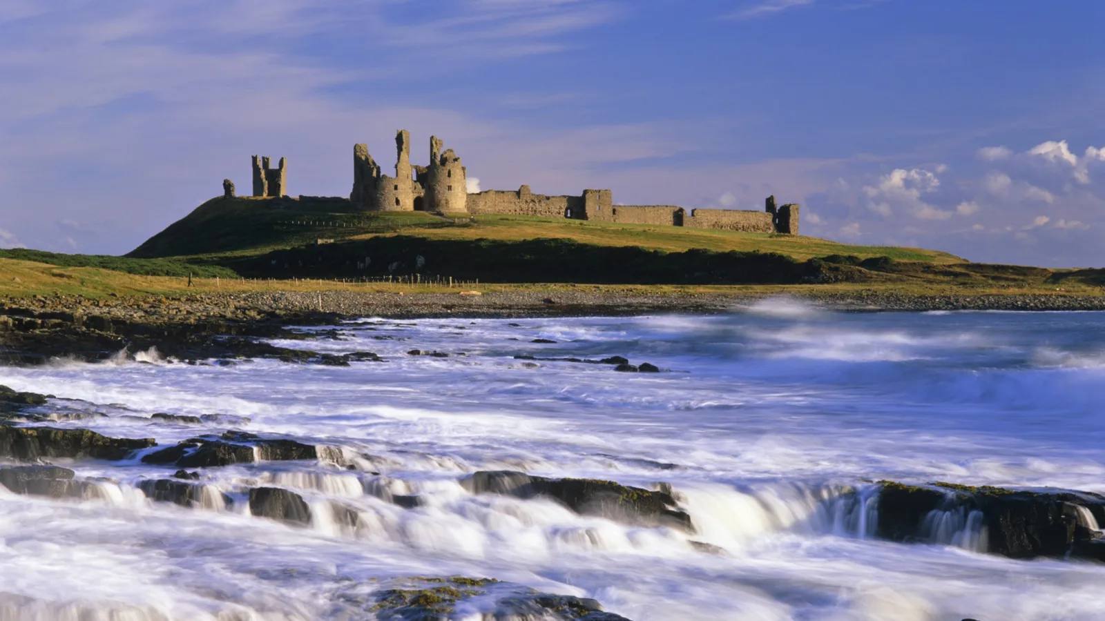
Craster and Embleton Bay Castle views, dunes and a full coast day
Craster to Low Newton coastal walk
- Distance
- 7.7 miles (12.32km)
- Time
- About 3 hours
- Ground
- Rugged and uneven coast path, natural steps, dunes, a beach descent and firmer surfaced sections
- Start
- Craster Quarry Car Park, grid reference NU256197
The route
Walk from Craster Quarry Car Park through the village and follow the coast past Dunstanburgh Castle and Embleton Sands to Low Newton. The official route returns inland by Newton Pool, the golf course and Dunstan Steads before regaining Craster.
Open the official Craster to Low Newton routeWhat dog owners need to know
Keep dogs on a short lead because the route crosses livestock fields and habitat for ground-nesting birds. The route manager also asks for short leads near livestock and close control on the beach. Obey every temporary shorebird fence and sign.
Before you go
The walk starts in the council-managed quarry car park. The route page does not promise toilets or drinking water at the start, so check local facilities before setting out and carry enough water for the full route.
Watch for: Large sections are rocky or uneven, cows may be present and the route descends onto the beach. Check weather and path conditions, but do not assume a tide threshold because the manager does not publish one for this route.
Parking, closures and seasonal access
Planning your Northumberland dog walk
Use the exact named start rather than a broad postcode, because several rural postcodes cover a wide area. Download the manager route before you lose signal, carry dog water, check opening or seasonal facilities, and expect mud after rain. On access land, National Park rules require a fixed lead no longer than two metres near livestock and from 1 March to 31 July, but local route signs remain the final instruction.
The useful short answers
Before you choose a Northumberland dog walk
Which Northumberland dog walk is easiest underfoot?
Wallington is the easiest graded circuit in this shortlist, using natural and surfaced paths with gentle inclines. It still includes one stile and stepping stones, so it is not described as step-free. Cragside starts with a flat lake circuit but later becomes steep and stepped.
Can dogs be off lead on these walks?
Wallington, Cragside and Housesteads require leads, while the Craster route asks for a short lead because of livestock and ground-nesting birds. Hareshaw requires control, and Forestry England asks for close control with a lead when recall is unreliable. Signs on the day always take priority.
Which route is best for a short dog walk?
Hindhope Linn is the shortest at 1.25 miles. Its moderate forest path follows orange markers to the waterfall, and toilets open only from April to October. Wallington is longer at 2.6 miles but graded easy.
Which walk is best for a longer day?
Housesteads to Steel Rigg is eight miles across exposed, steep grazing land. Craster to Low Newton is 7.7 miles on rugged coast, dunes and a beach section. Both need sturdy footwear, a water plan and a live-condition check.
Which route has the most useful facilities?
Cragside lists water bowls and 11 dog-waste bins, plus parking, toilets and a cafe. Wallington lists toilets, an accessible toilet and the Clocktower Cafe, but its route page does not promise a drinking-water point. Carry dog water for every route.
How current is this guide?
Every route, arrival and dog rule was checked against the relevant managing body on 22 September 2026. Closures, livestock, bird protection and facility status can change faster than editorial copy, so official pages and site signs remain the final authority.
Help keep this guide useful
Is something wrong?
Dog rules, closures and access can change. Tell us what you spotted and we will check it against the latest official source before changing the guide.