
An independently researched Norfolk walking guide
6 of the best dog walks in Norfolk
Six checked Norfolk dog walks, from coast and designed parkland to estate, forest, broad and nature-reserve routes with exact starts and current dog rules.
Researched by Pet Storybook Details verified 22 September 2026
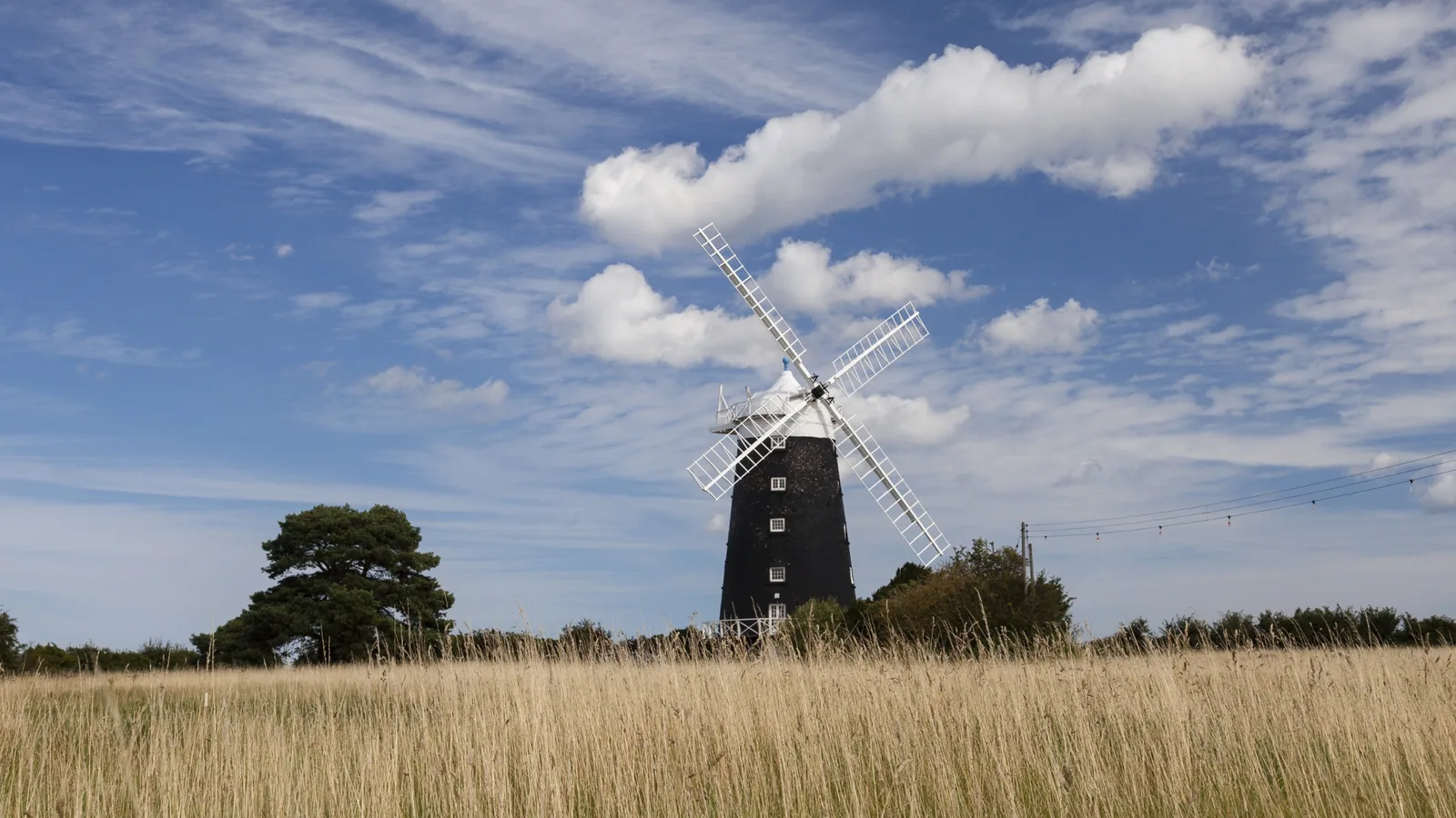
Start here
Which Norfolk dog walk fits today?
Six published routes worth planning properly
Each profile separates the Google Maps arrival from the managing body’s route line. The set reaches North Norfolk, the coast, Breckland, Norwich and southwest Norfolk rather than treating the county as one interchangeable landscape.
Livestock, wildlife zones, water, wet ground and forestry work can change the safe plan. Save the official route, carry water and a lead, and follow current signs when they differ from this checked guide.
North Norfolk An easier all-weather estate circuit
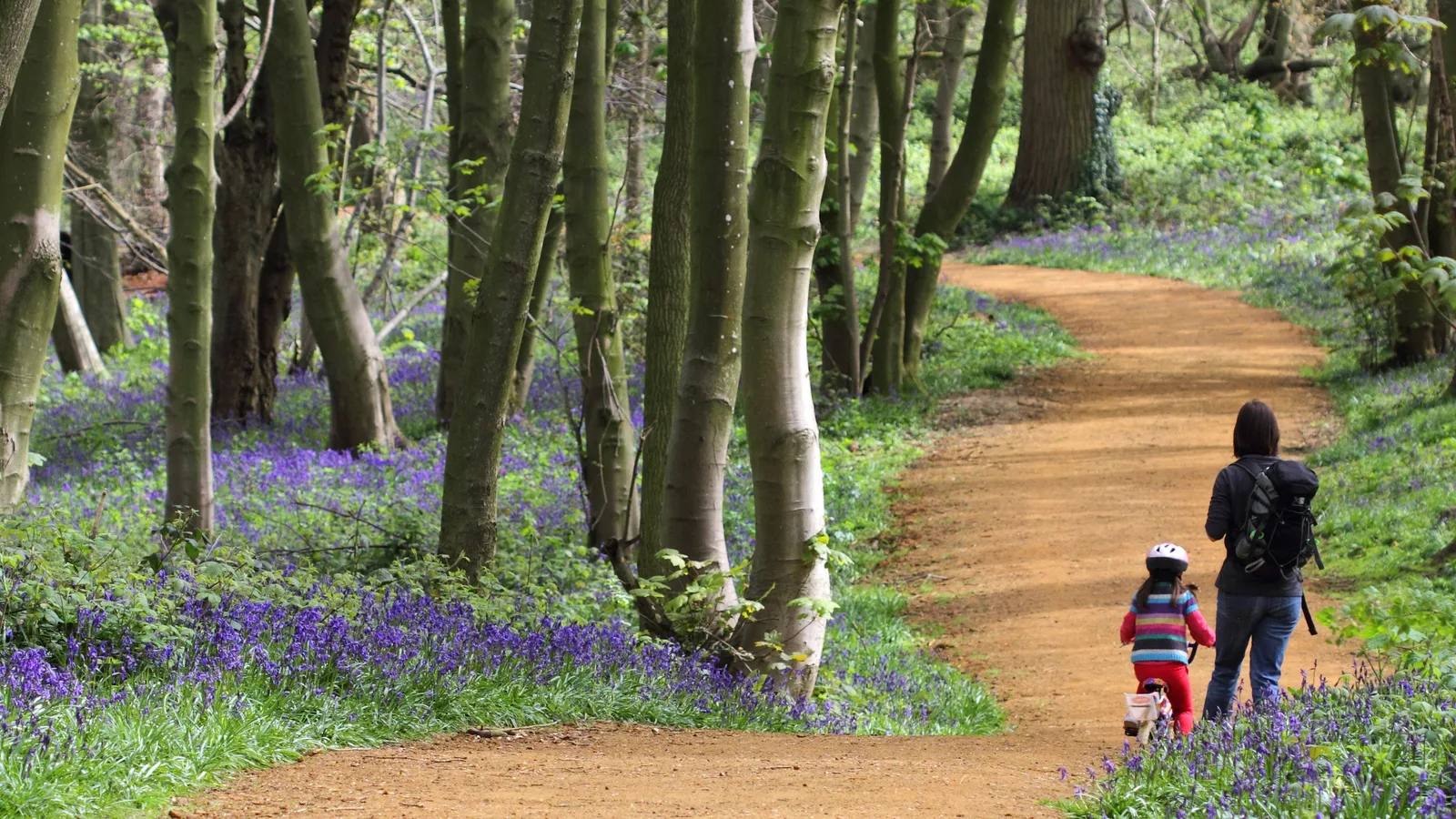
Blickling Estate multi-use trail
- Distance
- 4 miles (6.4km)
- Time
- About 45 minutes
- Ground
- Hard surface with sand tracks, tree roots, occasional seats and some bumps
- Start
- Blickling main car park, Aylsham, Norwich NR11 6NF
The route
Follow the marked multi-use trail from the rear of the main car park through Blickling Park, Great Wood and the Mausoleum area. Continue around the signed perimeter line and return through the park gates to the same car park.
Open the official Blickling multi-use trailWhat dog owners need to know
Dogs are welcome on leads. Livestock graze the park, so keep the lead on and follow every current sign or ranger instruction.
Before you go
Parking is currently £5 for non-members, payable by contactless or JustPark. Accessible toilets and cafes are available during their stated property hours. The route supports adapted wheelchairs and pushchairs, but unpaved sections can be bumpy.
Watch for: Tree roots, sand and bumps remain on an otherwise hard-surface trail. Current livestock signs take priority.
North coast Designed parkland and woodland
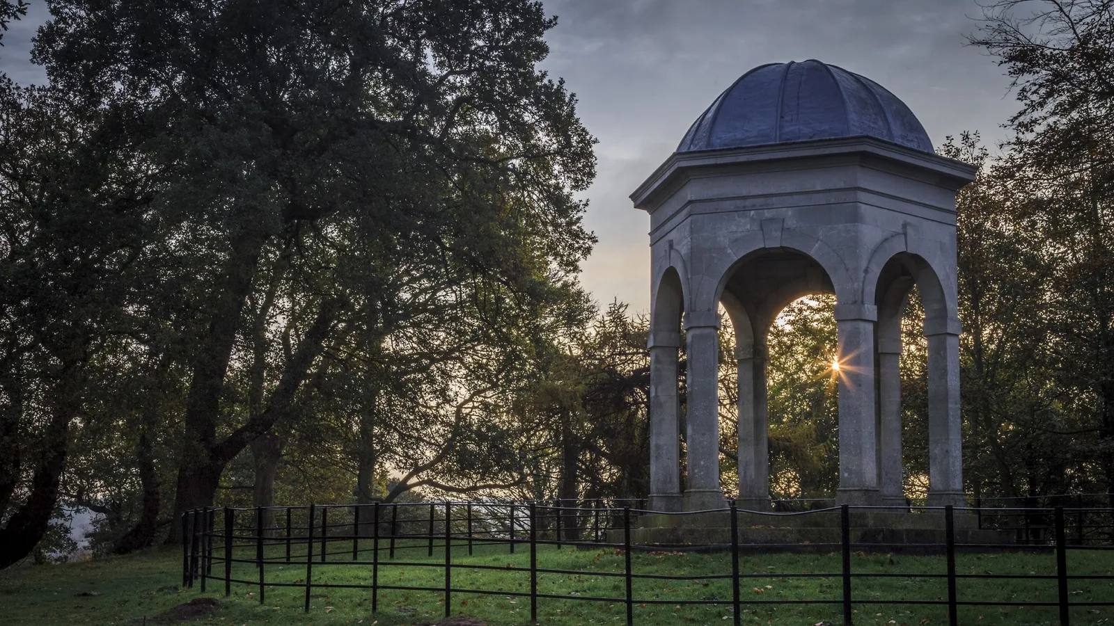
Repton’s walk at Sheringham Park
- Distance
- 2 miles (3.2km)
- Time
- About 1 hour 30 minutes
- Ground
- Undulating paths, an uphill section and a short parkland crossing
- Start
- Sheringham Park visitor centre, Sheringham NR26 8TL
The route
Use the National Trust stage directions from the visitor centre through Humphry Repton’s designed landscape. Follow the published circuit through woodland and parkland before returning to the visitor centre.
Open the official Repton’s walkWhat dog owners need to know
Keep dogs under control. Use a lead near the visitor centre and throughout the cattle-grazed parkland.
Before you go
The car park is currently £6.50 and free for National Trust members. Toilets and a cafe are near the start. Sanders route 5 has a request stop for Sheringham Park.
Watch for: The route is moderate and undulating. Keep the lead on through grazed parkland and check current signs before entering each section.
Northwest coast Coast, marshes and a village start
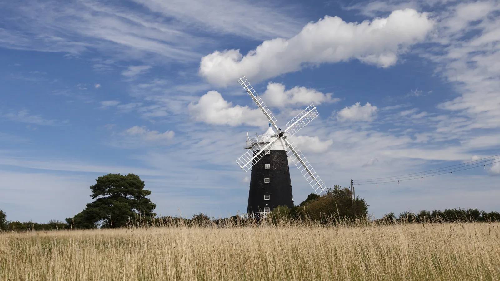
Burnham Overy Staithe walk
- Distance
- 4 miles (6.4km)
- Time
- About 2 hours
- Ground
- Village roads, field paths, grass tracks, stiles and wet ground after rain
- Start
- The Hero, Burnham Overy Staithe, King’s Lynn PE31 8JE
The route
Start at The Hero and follow the National Trust stage directions over village roads, field paths and grass tracks. Join the Norfolk Coast Path section, then complete the published circuit back to Burnham Overy Staithe.
Open the official Burnham Overy Staithe walkWhat dog owners need to know
Dogs are welcome. Keep them on leads in nature reserves and under strict control on farmland. Follow all seasonal wildlife and livestock signs.
Before you go
Use village street or harbour parking without blocking residents or access. The Coasthopper bus serves the village. Toilets and food are available at The Hero during opening hours, with no facilities promised on the rest of the circuit.
Watch for: Stiles and wet field paths make this unsuitable for wheelchairs. Keep dogs close on farmland and reserve sections.
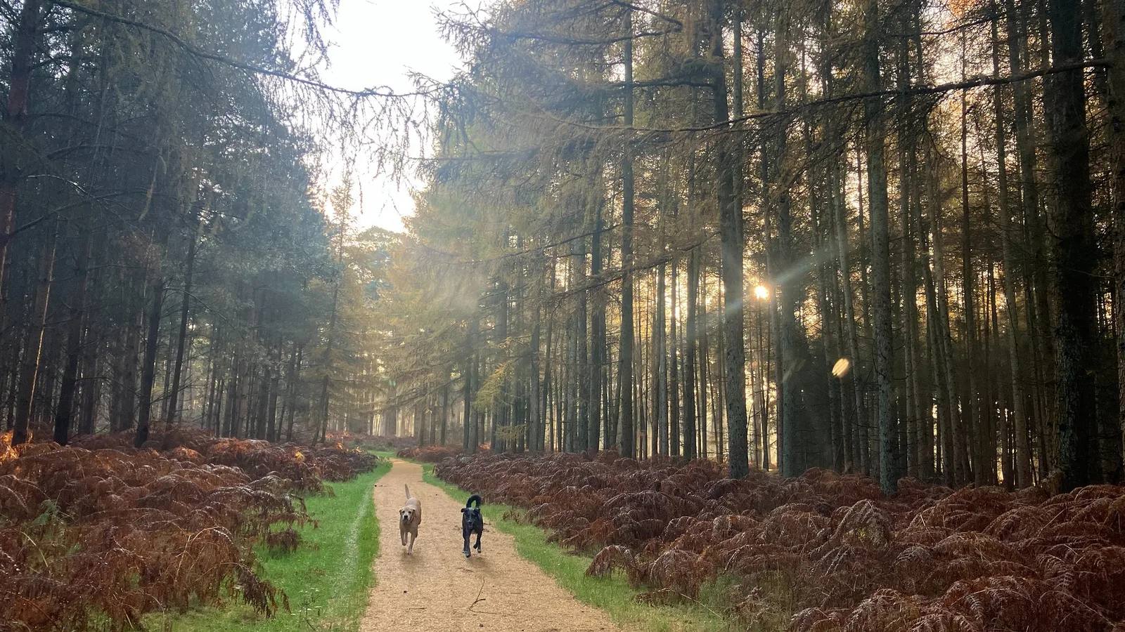
Breckland A forest walk with three length choices
Fir walking trail at High Lodge
- Distance
- 5km, 10km or 12km
- Time
- No official time published
- Ground
- Forest floor with roots, dips, soft, narrow, uneven and muddy sections
- Start
- High Lodge, Thetford Forest, Brandon IP27 0AF
The route
Choose the signed 5km, 10km or 12km Fir option at High Lodge and follow its waymarkers through Thetford Forest back to the visitor hub. Open the official trail map before leaving because several walking and cycling routes share the forest.
Open the official Fir walking trailWhat dog owners need to know
Dogs are welcome. Keep them in sight and close at all times, clean up and follow any local lead or forest-operation signs.
Before you go
Current card-only ANPR parking ranges from £3.50 for one hour to £15.50 for a full day. The visitor hub has a cafe, toilets and 12 accessible spaces. There are few benches and no toilets along the Fir trail.
Watch for: This is a moderate forest-floor route rather than High Lodge’s easy-access Heritage Trail. Roots, dips, mud and shared trail junctions need care.
Norwich fringe A flat surfaced waterside circuit
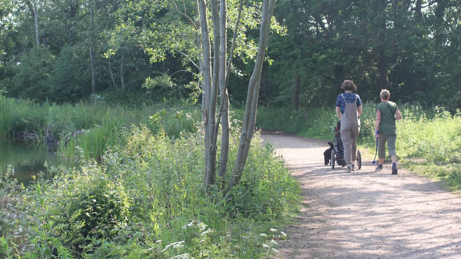
Whitlingham Great Broad circular
- Distance
- 2.3 miles (3.7km)
- Time
- No official time published
- Ground
- Flat tar-and-chip surface suitable for wheels, buggies and bikes
- Start
- Whitlingham Country Park, Whitlingham Lane, Norwich NR14 8TR
The route
Join the Great Broad circular path beside the Flint Barn facilities and follow its fully surfaced line around the water, returning to the same side. Use the park map and current signs where other paths join.
Open the official Whitlingham route and access detailWhat dog owners need to know
Dogs are welcome, but use a lead in every signed zone. These include the Conservation Area section of Great Broad, Trowse Water Meadow, the play area, cafe and patio, meadow and all car parks. Clean up everywhere.
Before you go
Flint Barn parking, a cafe, toilets, Changing Places facility and Tramper hire support the route. Dogs are allowed in the cafe on leads, except on the dog-free mezzanine.
Watch for: Lead zones protect wildlife and other visitors. Water levels and works can change local access, so follow live signs even on the surfaced circuit.
Southwest Norfolk A longer nature-reserve circuit
Great Eastern Pingo Trail

- Distance
- 7 miles
- Time
- No official time published
- Ground
- Woodland, former railway, common paths, wet ground and boardwalks
- Start
- Pingo Trail car park behind the A1075 lay-by near Stow Bedon, NR17 1DP
The route
Follow the Norfolk County Council seven-mile circular from the A1075 trail car park through Thompson Common and back to the same start. Keep the official PDF open at path junctions and across the reserve.
Open the official county council Pingo Trail PDFWhat dog owners need to know
Dogs must be kept on leads on Thompson Common. Cattle, ponies, sheep and goats may be grazing, so keep clear and follow current signs.
Before you go
The start is behind the lay-by just before Stow Bedon when travelling south from Watton. The sources do not promise toilets or refreshments. Thompson Common is open dawn to dusk.
Watch for: Expect wet ground and boardwalks. The Maps link is a coordinate pin derived from the official grid reference because the named search returned two different trail cards.
Parking, livestock and wildlife access
Planning your Norfolk dog walk
Check current opening, parking and route notices before leaving. Keep dogs on leads at Blickling, on Thompson Common and in Whitlingham’s signed zones, and use leads around cattle or farmland at Sheringham and Burnham Overy. High Lodge has facilities at the hub but none along the Fir trail.
National Trust countryside dog guidance
The useful short answers
Before you choose a Norfolk dog walk
Which Norfolk dog walk is shortest?
Repton’s walk at Sheringham Park is the shortest selected route at 2 miles or 3.2km. It is moderate and undulating rather than the easiest underfoot.
Which walk is easiest underfoot?
Whitlingham Great Broad has a flat tar-and-chip circuit suitable for wheelchairs, mobility scooters, pushchairs and bikes. Blickling is also an easier hard-surface option, though some unpaved sections are bumpy.
Where must dogs stay on leads?
Blickling asks for leads across the trail, Thompson Common requires them, and Whitlingham marks several lead zones. Sheringham also requires leads near the visitor centre and in cattle-grazed parkland.
Which route offers different distances?
High Lodge has signed 5km, 10km and 12km Fir options. Choose at the trailhead and use the official walking-trails map because several routes share the forest.
Which routes have the clearest facilities?
Blickling, Sheringham, High Lodge and Whitlingham have parking, toilets and refreshments near the start. Burnham Overy relies on village facilities, while the Pingo Trail sources promise none.
How current is this guide?
Every selected route, dog rule, arrival and practical detail was checked against current first-party sources on 22 September 2026. Live signs and notices remain the final authority.
Help keep this guide useful
Is something wrong?
Dog rules, closures and access can change. Tell us what you spotted and we will check it against the latest official source before changing the guide.