
An independently researched Kent walking guide
5 of the best dog walks in Kent
Five properly sourced dog walks across Kent, from a step-free Pinetum loop to a full-day estate circuit and an exposed clifftop walk, with exact starts, official routes and the lead rules that matter.
Researched by Pet Storybook Details verified 16 September 2026
Start here
Which Kent dog walk fits today?
Five published routes worth planning properly
These are bounded, published routes rather than loose place suggestions. Every profile separates the verified Google Maps arrival from the managing body’s route, then sets out ground, facilities, parking, livestock and wildlife limits.
Kent’s conditions vary sharply between wooded country parks, working estates and the coast. Carry water and a lead, check the live manager page before setting out, and let local signs override any general advice here.
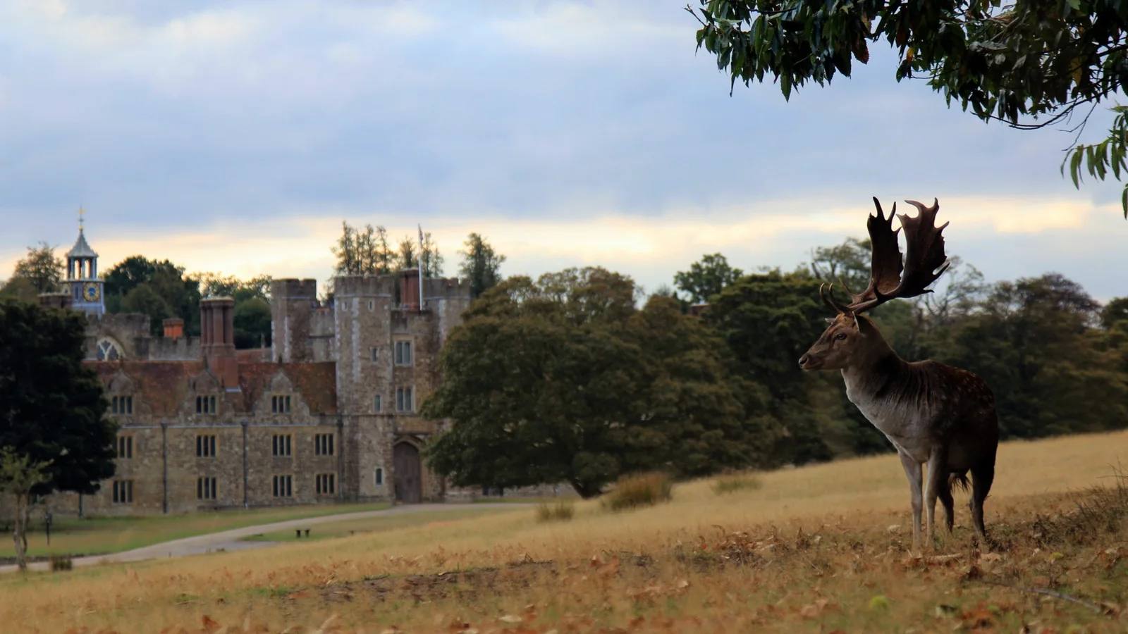
Ivy Hatch and Sevenoaks A full-day estate walk with woodland, fields and deer park
Ightham Mote to Knole circular
- Distance
- 8.5 miles (13.6km)
- Time
- About 5 hours, including 30 minutes at Knole
- Ground
- Moderate footpaths, bridleways, fields and woodland with sustained climbs, descents, steps, stiles and road crossings
- Start
- Mote Café at Ightham Mote, grid TQ584535
The route
Follow the six-stage National Trust circular from Mote Café onto the Greensand Way, through Rooks Hill and into Knole Park. Leave Knole by the Duchess Walk, then return via Godden Green, orchards and Broadhoath Wood. Use the official directions and downloadable map because this long route changes path systems several times.
Open the official Ightham Mote to Knole routeWhat dog owners need to know
Dogs are welcome on leads for the whole route. At Knole, keep well away from the wild deer herd and never approach or feed deer. The route also crosses horse pasture and working countryside, so keep the lead short around animals and at road crossings.
Before you go
Ightham Mote has a car park, Mote Café and toilets. The official route also lists a café and toilets at Knole. The five-hour estimate includes a 30-minute Knole stop. Check the current Ightham Mote page before travel because its live parking charge differs from the older amount still shown on the route page.
Watch for: This is the longest walk in the guide and is unsuitable for mobility vehicles and pushchairs. Expect stiles, repeated climbs, road crossings and a deer park where leads are essential.
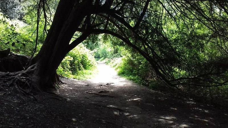
Shorne, near Gravesend A challenging country-park loop through wetland and woodland
Shorne Woods Explorer Trail
- Distance
- 3.7 miles (6km)
- Time
- No official duration published
- Ground
- A difficult waymarked route on challenging, sometimes muddy ground through woodland, wetland and open habitats
- Start
- Shorne Woods Country Park visitor centre
The route
Use the official park map and follow the Explorer Trail waymarkers from the visitor-centre area. The 6km loop reaches the park’s more demanding ground and passes wildflower, fungi and wetland habitats before returning to the same facilities.
Open the official Shorne Woods walking trailsWhat dog owners need to know
KCC marks 30 acres as lead-only and allows dogs under close control across the other 262 acres. Those zones are shown by signs on site, so carry a lead and follow every local sign rather than assuming the complete Explorer Trail is off lead. Clear up and use the bins at key areas.
Before you go
The park has pay and display parking, a visitor centre, café and toilets. Toilets remain available whenever the car park is open, even if the café and shop are closed. The car park is locked at dusk, and the current closing time is posted at the entrance.
Watch for: KCC rates this route difficult. Wetland and woodland sections can become muddy, while lead rules change between signed zones.
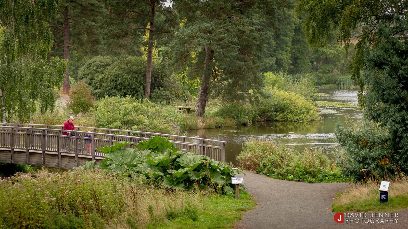
Goudhurst A clearly marked, step-free loop among remarkable trees
Bedgebury Pinetum long loop
- Distance
- 1.6 miles (2.6km)
- Time
- No official duration published
- Ground
- Clearly defined paths with long moderate gradients and loose material in places, no steps or narrow gates, and a minimum path width of 1.5m
- Start
- Double gates below the main visitor car park
The route
Walk down from the main visitor car park towards the Visitor Centre and begin at the double gates. Follow the long Pinetum Trail waymarkers for the full 1.6-mile loop among the tree collection, then return to the visitor-centre area.
Open the official Bedgebury Pinetum TrailWhat dog owners need to know
Keep dogs on a lead throughout the National Pinetum, including this trail, as well as in the car park and play areas. Off-lead access applies only in the wider forest. Dogs are not allowed on the singletrack mountain-bike trails.
Before you go
Bedgebury opens at 8am daily except Christmas Day. Closing varies by season and can range from 3.30pm to 8pm, so check the current page and entrance signs. Parking, toilets, an information point and a café are near the trail start; the café itself is dog-free.
Watch for: Step-free does not mean level. The long loop has sustained moderate gradients and loose material, and every dog must stay on a lead inside the Pinetum.
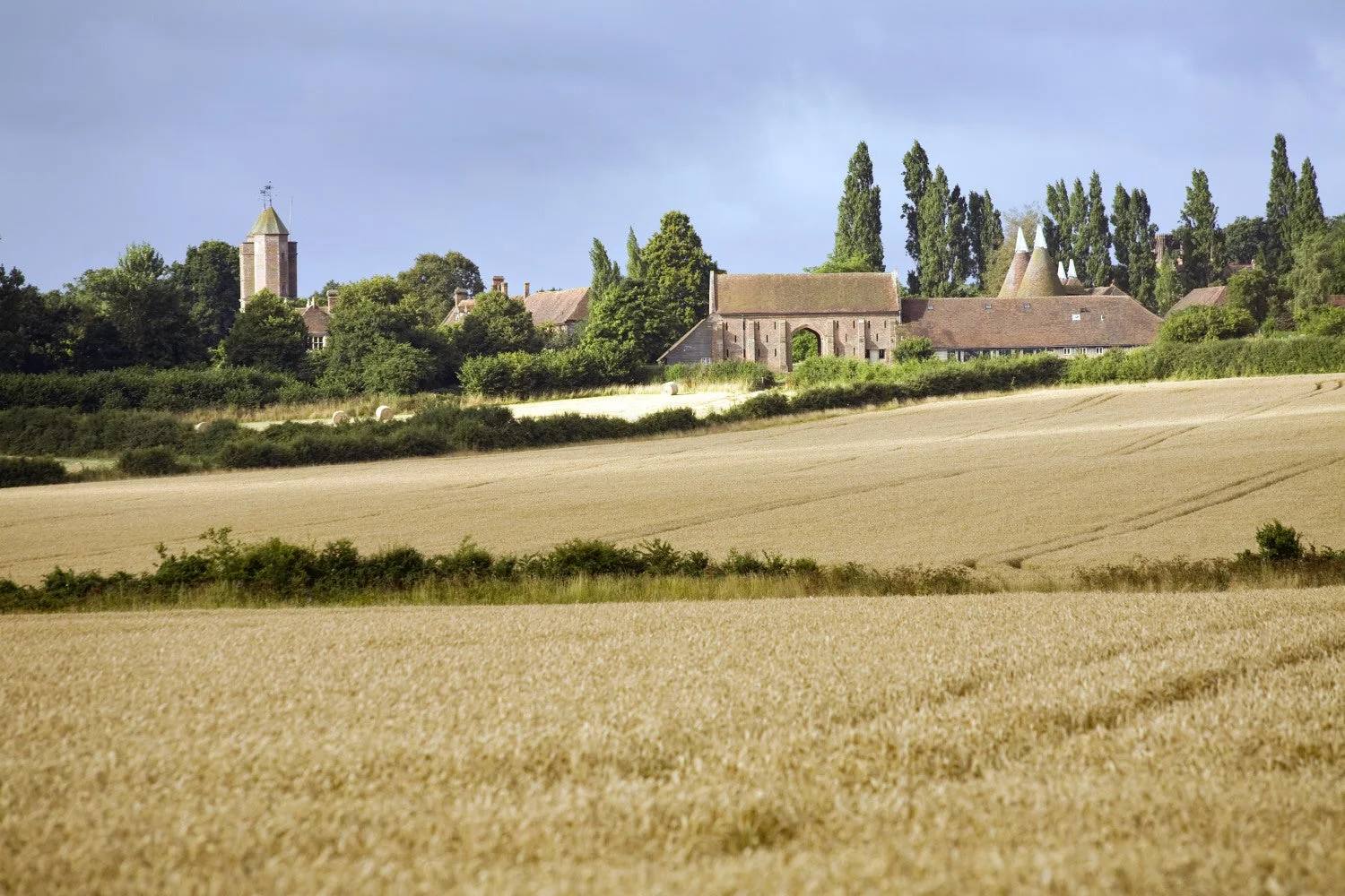
Sissinghurst, near Cranbrook A compact estate circuit through fields, woodland and lakeside paths
Sissinghurst Castle Garden and Estate walk
- Distance
- 3 miles (4.8km)
- Time
- About 1 hour 30 minutes
- Ground
- Mostly level estate paths with stiles and some slopes, often muddy during wet weather
- Start
- Sissinghurst Castle Garden National Trust car park
The route
Follow the National Trust’s six-stage circular from the main car park towards the castle, then around the medieval moat, through the wider working estate and back to the same start. The official map also shows a dotted shorter option from stage three.
Open the official Sissinghurst estate routeWhat dog owners need to know
Dogs must stay on leads throughout this estate trail to protect wildlife and livestock. Only assistance dogs may enter the formal garden or vegetable garden. Keep the lead short around sheep and follow any temporary signs near grazing animals.
Before you go
The main car park, café, restaurant and toilets are close to the start. Dog water bowls are outside Visitor Reception, the Granary Restaurant and Old Dairy Café. Non-member parking is currently £4.50, and wet winter conditions can close the overflow car park.
Watch for: The route can be very muddy, has stiles and slopes, and passes working farmland. The celebrated formal garden is outside normal dog access.
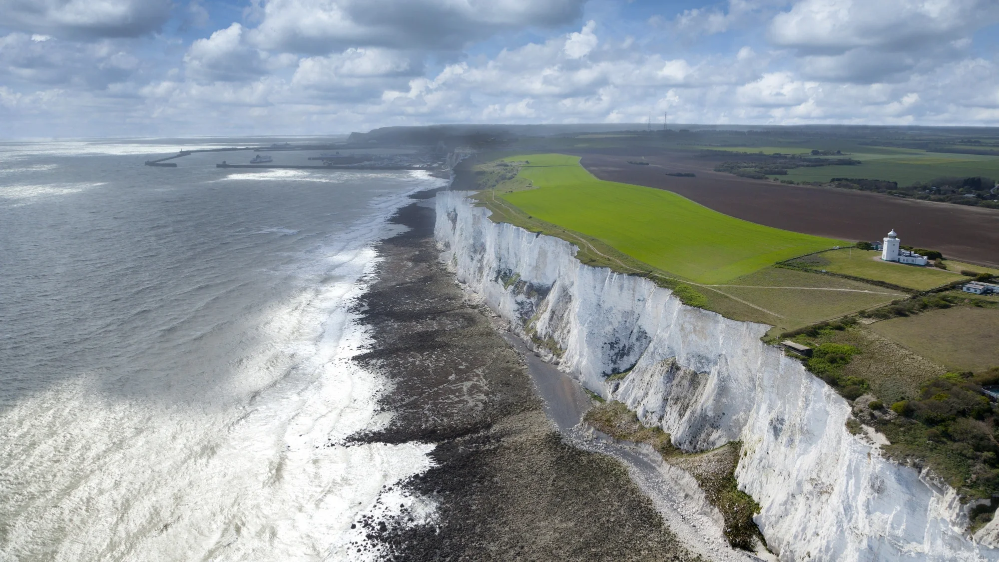
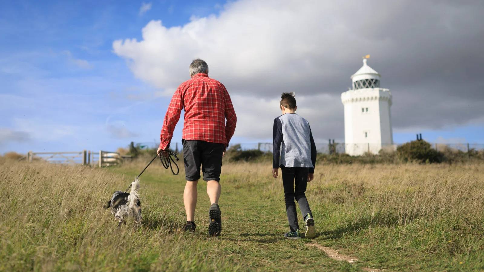
Dover Sea views, chalk downland and a landmark lighthouse
White Cliffs to South Foreland Lighthouse circular
- Distance
- 3.5 miles (5.6km)
- Time
- About 1 hour 40 minutes
- Ground
- Moderate surfaced paths with one short steep stepped section and exposed clifftop stretches
- Start
- White Cliffs Visitor Centre at Langdon Cliffs
The route
Follow the National Trust circular from the Visitor Centre towards Langdon Hole, Fan Bay Deep Shelter and South Foreland Lighthouse. The ten-stage route uses a different inland line on the return, so keep the official directions or PDF map with you.
Open the official White Cliffs circular routeWhat dog owners need to know
Keep dogs on a lead at all times on this route because sections run close to an unfenced cliff edge. Livestock graze the chalk downland, and the wider site also requires short leads everywhere from 1 March to 31 August. Stay on the path and follow current livestock signs.
Before you go
The Visitor Centre has parking, toilets, boot washing and a bottle-refill point. South Foreland Lighthouse has a separate toilet building and similar refill facilities. Dog water bowls are available at the Visitor Centre, Fan Bay and lighthouse when those facilities are open.
Watch for: The cliff edge is unfenced. Keep well back, supervise children closely and avoid exposed sections in wet, windy or icy weather.
Parking, closures and seasonal access
Planning your Kent dog walk
Parking charges, closing times, grazing locations and path conditions can change. Bedgebury has seasonal gate times, Shorne locks its car park at dusk, Sissinghurst can close overflow parking in wet winter conditions, and White Cliffs paths are exposed to weather. Open the live managing-body page on the day, arrive at the named start rather than a broad postcode, and keep offline route directions for the longer circuits.
Kent County Council, Shorne Woods current visitor information
The useful short answers
Before you choose a Kent dog walk
Can dogs be off lead on these Kent walks?
Not on four of the five selected routes. Ightham to Knole, Bedgebury Pinetum, Sissinghurst estate and the White Cliffs circular all require leads. Shorne has signed lead-only and close-control zones, so follow the signs and carry a lead throughout.
Which walk is easiest underfoot?
Bedgebury’s long Pinetum loop is the clearest step-free option, with no narrow gates and a minimum path width of 1.5m. It still has long moderate gradients and some loose material, so check the official access information for your needs.
Which Kent dog walk is best for a full day?
Ightham Mote to Knole is 8.5 miles and takes about five hours, including the National Trust’s suggested 30-minute Knole stop. It has stiles, climbs, road crossings and deer park, so it needs more preparation than the other routes.
Where can I find dog water?
Sissinghurst lists bowls outside Visitor Reception, the Granary Restaurant and Old Dairy Café. The White Cliffs lists bowls at the Visitor Centre, Fan Bay and South Foreland Lighthouse when facilities are open. Carry your own water elsewhere because trail-side supply is not guaranteed.
What seasonal rules matter most?
At the White Cliffs, use a short lead everywhere from 1 March to 31 August, while this specific route requires a lead year-round. Seasonal gate times apply at Bedgebury, and wet winter weather can affect Shorne, Sissinghurst and Ightham paths or parking.
How current is this guide?
Every route, arrival and dog rule was checked against its current managing-body page on 16 September 2026. Conditions, grazing and closures can change faster than editorial copy, so the linked official page and on-site signs remain the final authority.
Help keep this guide useful
Is something wrong?
Dog rules, closures and access can change. Tell us what you spotted and we will check it against the latest official source before changing the guide.