
An independently researched Glasgow walking guide
6 of the best dog walks in Glasgow
Six checked dog walks in Glasgow and nearby, from a one-mile waterfall loop to an eight-mile windfarm circuit, each with an exact arrival and current dog-control guidance.
Researched by Pet Storybook Details verified 22 September 2026
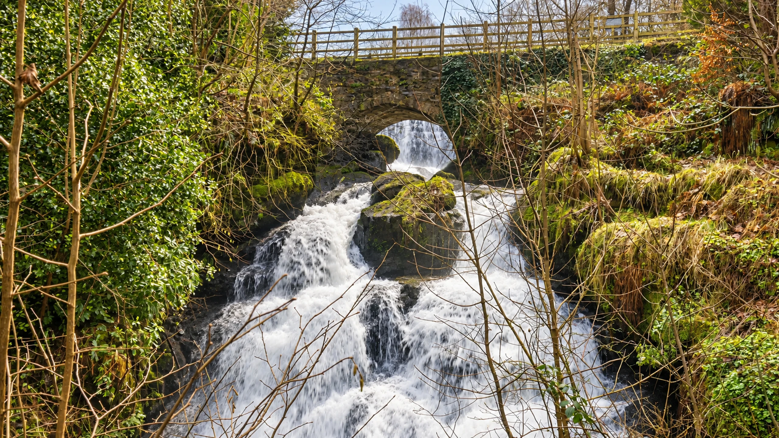
Start here
Which Glasgow dog walk fits today?
Six published routes worth planning properly
Each profile separates the Google Maps arrival from the managing body’s route line. The set covers the south side, Cumbernauld, Hamilton, Eaglesham, Motherwell and the Kilpatrick Hills.
Livestock, nesting birds, weather, water and land-management work can change the safe plan. Save the official route, carry water and a lead, and follow current signs when they differ from this checked guide.
South side A short waterfall and woodland loop
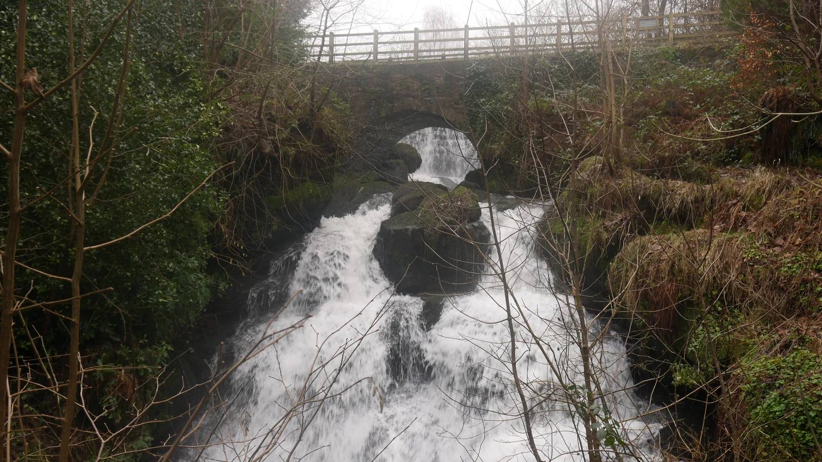
The Glen Walks, Rouken Glen Park
- Distance
- 1 mile (1.6km)
- Time
- About 30 minutes
- Ground
- Easy to moderate park and glen paths away from the main park paths
- Start
- Rouken Glen Main Car Park, Rouken Glen Road, Giffnock G46 7UG
The route
Start at the main park entrance before the car park and follow the council map into the glen. The circular line passes the waterfall, leaves the main park paths and returns to the park entrance.
Open the official Glen Walks route PDFWhat dog owners need to know
Keep your dog in sight and under proper control. Use a short lead or close heel where the park is busy, around young animals and breeding wildlife, and wherever local signs require it.
Before you go
The Boathouse and garden centre sit close to the main park paths. Whitecraigs is the named rail station. Save the route PDF because the Glen Walks branch away from the busier main paths.
Watch for: The glen section is easy to moderate rather than a flat park circuit, and wet woodland paths can be slippery.
Cumbernauld Waymarked woodland on surfaced tracks
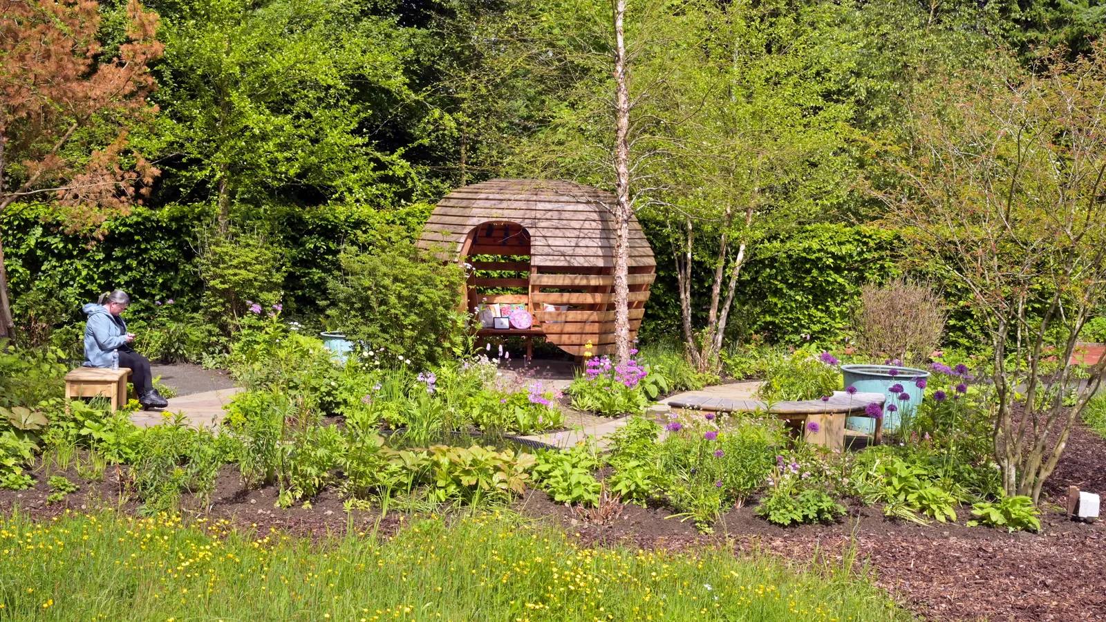
The Big Loop, Palacerigg Country Park
- Distance
- 2.7 miles (4.3km)
- Time
- Allow at least 1 hour
- Ground
- Flat surfaced tracks with a gentle incline through mixed woodland
- Start
- Palacerigg Car Park, Cumbernauld G67 3HU
The route
Follow the orange Big Loop waymarkers from the main car park around the golf-course woodland. The signed route gives views towards Fannyside Loch and Fannyside Muir, with a halfway shortcut back if needed.
Open the official Palacerigg waymarked-trails guideWhat dog owners need to know
Keep dogs under full control and clean up after them. Dogs must stay out of buildings, play areas, ornamental water and any signed exclusion area.
Before you go
The main car park is beside the golf course and the trail starts in the country park network. Check the council page before travel for live facility or access notices.
Watch for: The official minimum time is one hour. Follow the orange markers at junctions and check current woodland signs.
Hamilton A longer gorge and woodland circuit
Green Bridge trail, Chatelherault
- Distance
- 5 miles (8km)
- Time
- 2 hours 50 minutes gentle, or 1 hour 40 minutes fast
- Ground
- Woodland and gorge paths with sustained slopes and about 690ft of ascent
- Start
- Chatelherault Country Park, Carlisle Road, Ferniegair, Hamilton ML3 7UE
The route
Begin at the information point beside the Visitor Centre and follow the Green Bridge line on the official Trails to the Past map through the Avon gorge and woodland, returning to the same start.
Open the official Chatelherault Trails to the Past PDFWhat dog owners need to know
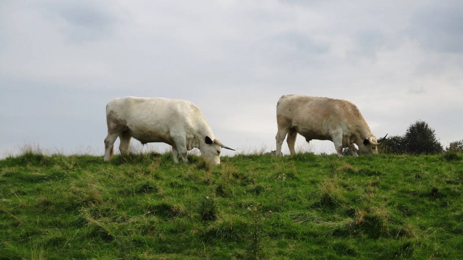
Keep dogs under proper control and away from wildlife. Use a short lead or close heel around livestock and young animals, and during the April to July ground-nesting bird season.
Before you go
The visitor centre, cafe and toilets are at the start during their published opening hours. Download the official trail guide before entering the gorge.
Watch for: Expect mud and sustained slopes. Grazing cattle are part of this country park, so keep well clear and follow temporary signs.
Eaglesham A long exposed moorland day
Lochgoin Circuit, Whitelee Windfarm
- Distance
- 8 miles (12.9km)
- Time
- No official walking time published
- Ground
- Broad windfarm tracks across exposed moorland in an operational windfarm
- Start
- Whitelee Windfarm Visitor Centre, Moor Road, Eaglesham, Glasgow G76 0QQ
The route
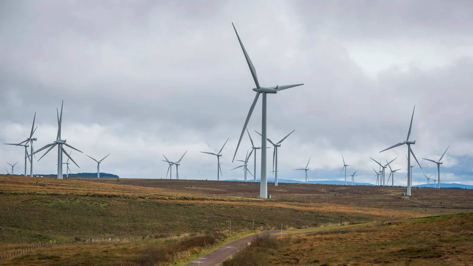
Follow the Lochgoin Circuit line on the official ScottishPower map from the visitor centre and ranger cabin. The eight-mile circuit crosses the working windfarm and returns to the same visitor-centre start.
Open the official Whitelee route mapWhat dog owners need to know
Keep dogs under proper control. Use a short lead or close heel around sheep and other livestock, and from April to July around ground-nesting birds. Ranger and operational signs take priority.
Before you go
Parking and the ranger cabin are at the start. Check visitor-centre hours separately, carry water and save the official map before setting out.
Watch for: This is exposed moorland inside an operational windfarm. Weather, visibility and temporary work zones can change quickly.
Motherwell A mostly tarmac loch circuit
Lochside route, Strathclyde Country Park
- Distance
- 3.75 miles (6km)
- Time
- About 1 hour at a steady pace
- Ground
- Mostly tarmac lochside path with one short steeper rise
- Start
- Strathclyde Park Watersports Centre, Hamilton Road, Motherwell ML1 3DT
The route
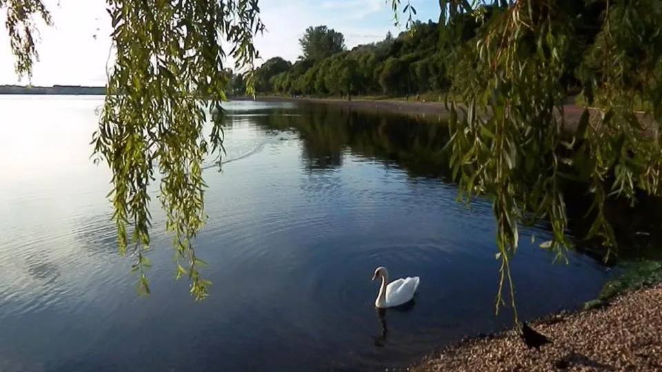
Join the named Lochside route from the Watersports Centre area and follow the mostly tarmac circular path around Strathclyde Loch to the same point.
Open the official Strathclyde Country Park route pageWhat dog owners need to know
Keep dogs under full control and clean up after them. Dogs must stay out of buildings, play areas, ornamental water and signed exclusion areas. Use a lead around frozen or hazardous water.
Before you go
The Watersports Centre is currently closed for refurbishment. Temporary reception, refreshments and toilets are signposted near car park 1, so follow the on-site diversion signs.
Watch for: The route is mostly level but includes one short steeper rise. Water and works can create temporary changes.
Old Kilpatrick A steep forest-road climb to upland water
Kilpatrick Braes to Loch Humphrey
- Distance
- Not published by the managing body
- Time
- No official walking time published
- Ground
- A steep winding forest road that can be muddy, with exposed upland sections
- Start
- Kilpatrick Braes Car Park, Mount Pleasant Drive, Old Kilpatrick G60 5LT
The route
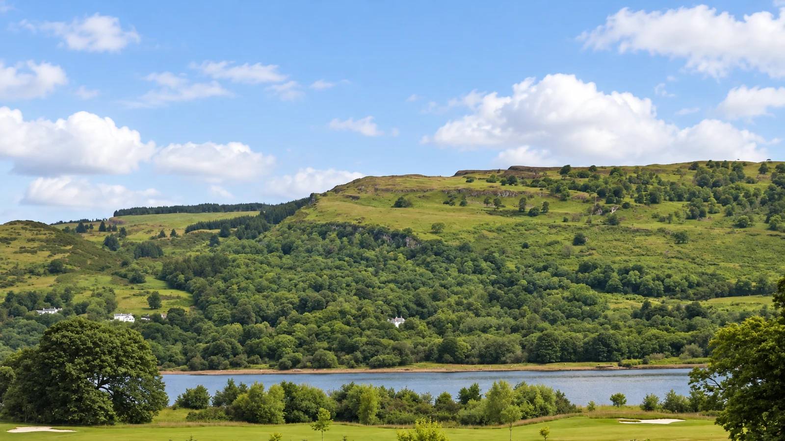
From Kilpatrick Braes Car Park, follow the easy-to-follow forest road uphill to Loch Humphrey. Return to the car park by the same road. This is a manager-described destination rather than a formal waymarked trail.
Open the official Kilpatrick Braes route descriptionWhat dog owners need to know
Forestry and Land Scotland asks visitors to keep dogs close. From April to July use close control or a short lead around breeding birds, and keep well clear of any livestock.
Before you go
Parking is free. Forestry and Land Scotland gives G60 5HN for the route junction and G60 5LX for Kilpatrick station; use the verified car-park Maps destination when driving.
Watch for: The managing body publishes no distance or time. The road is steep, can be muddy and reaches exposed upland ground.
Parking, livestock and wildlife access
Planning your Glasgow dog walk
Check current route, weather and facility notices before leaving. Use a short lead or close heel around livestock and during the April to July breeding season. Whitelee and Kilpatrick are exposed, while the Strathclyde Watersports Centre is under refurbishment with temporary facilities near car park 1.
The useful short answers
Before you choose a Glasgow dog walk
Which Glasgow dog walk is shortest?
The Glen Walks at Rouken Glen Park is the shortest selected route at one mile, with an official estimate of about 30 minutes.
Which route is easiest underfoot?
The Strathclyde Lochside route is mostly tarmac and largely level, with one short steeper rise. Palacerigg uses flat surfaced tracks with a gentle incline.
Where should dogs be on a lead?
Use a short lead or close heel around livestock and young animals, and from April to July around ground-nesting birds. Site signs at every park and forest take priority.
Which route is best for a longer day?
Whitelee’s Lochgoin Circuit is eight miles on exposed operational-windfarm tracks. Chatelherault’s five-mile Green Bridge trail adds gorge paths and sustained slopes.
Why is there no distance for Loch Humphrey?
Forestry and Land Scotland describes the out-and-back route on the forest road but does not publish a distance or walking time. This guide does not substitute an unofficial estimate.
How current is this guide?
Every selected route, dog rule, arrival and practical detail was checked against current first-party sources on 22 September 2026. Live signs and notices remain the final authority.
Help keep this guide useful
Is something wrong?
Dog rules, closures and access can change. Tell us what you spotted and we will check it against the latest official source before changing the guide.