
An independently researched Exeter walking guide
6 of the best dog walks in Exeter
Six checked dog walks in and around Exeter, from linear Green Circle sections reached by rail to parkland and forest circuits with exact starts, surfaces and current dog rules.
Researched by Pet Storybook Details verified 22 September 2026
Start here
Which Exeter dog walk fits today?
Six published routes worth planning properly
The three city routes are separate, signed sections of the Exeter Green Circle. Killerton, Haldon and Mamhead add circular choices on the city edge. Every profile keeps the Google Maps arrival separate from the managing body’s route line.
Temporary works, wildfire recovery, livestock and access conditions can change. Save the official route, carry water and a lead, and follow current signs or staff instructions when they differ from this checked guide.
Broadclyst Parkland, woodland and a clear dog policy
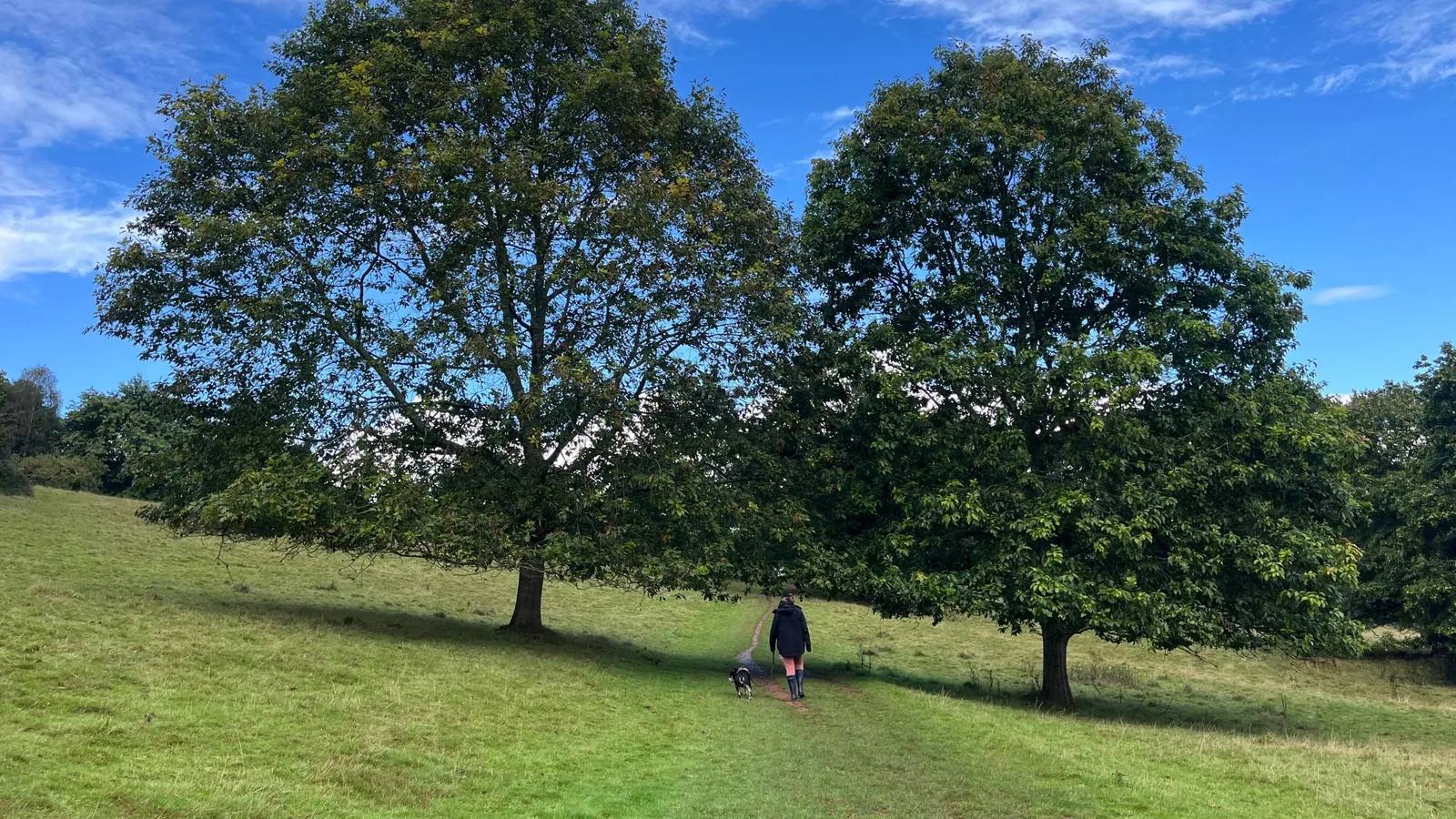
Killerton dog walk
- Distance
- 2.5 miles (4km)
- Time
- 45 minutes to 1 hour
- Ground
- Easy parkland and woodland paths, with a steep start, rutted track and possible mud
- Start
- Killerton visitor car park, Broadclyst, Exeter EX5 3LE
The route
Follow the National Trust’s nine-stage circular from the visitor car park. Pick up the blue arrows by the Stables play park, cross Front Park and the former Deer Park, enter the woodland and return through Deodar Glen past the house.
Open the official Killerton dog walkWhat dog owners need to know
Use a short fixed lead inside the pink boundary shown on the property dog map and wherever signs require one. Dogs can exercise off lead in the wider parkland if they remain under close control. Check the current cattle signs and put the lead on before entering a grazed area.
Before you go
The route starts from the main visitor car park. Toilets are in the car park. The Stables Coffee Shop welcomes dogs and the property provides water bowls, dog bins and a rinsing station. Only assistance dogs may enter the historic buildings or Killerton Kitchen Café.
Watch for: The opening climb is steep and the track can be rutted or muddy. The property’s current lead signs and livestock instructions take priority over this guide.
Kennford A longer surfaced forest circuit
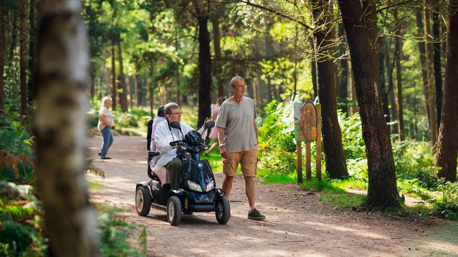
Haldon Forest Raptor Trail
- Distance
- 3 miles (4.5km)
- Time
- No official time published
- Ground
- Wide, fully surfaced trail with steep climbs, descents, two road crossings and wooden chicanes
- Start
- Visitor hub, Haldon Forest Park, Bullers Hill, EX6 7XR
The route
Follow the purple Raptor Trail markers from the visitor hub down King’s Ride, then climb the zigzag to the road crossing. Take the signed detour to the bird-of-prey viewpoint if wanted, return to the marked line and continue through mixed conifers to the hub.
Open the official Raptor TrailWhat dog owners need to know
Dogs are welcome. Keep them close, in sight and on the official trail so they do not disturb wildlife. Carry bags and use the dog-waste bins on the walking trails.
Before you go
The forest is open 7am to 9pm daily except Christmas Day. Parking charges apply at all times: £4 up to 1 hour, £6 up to 2, £7 up to 3, £8 up to 4 or £10 all day. Payment is card or contactless. Toilets, an accessible toilet, drinking water and a daily café are at the visitor hub.
Watch for: There are steep slopes and two road crossings. Forestry England currently records car-park groundworks, so follow the temporary directional signs.
Polsloe to Pennsylvania A station-start city valley route
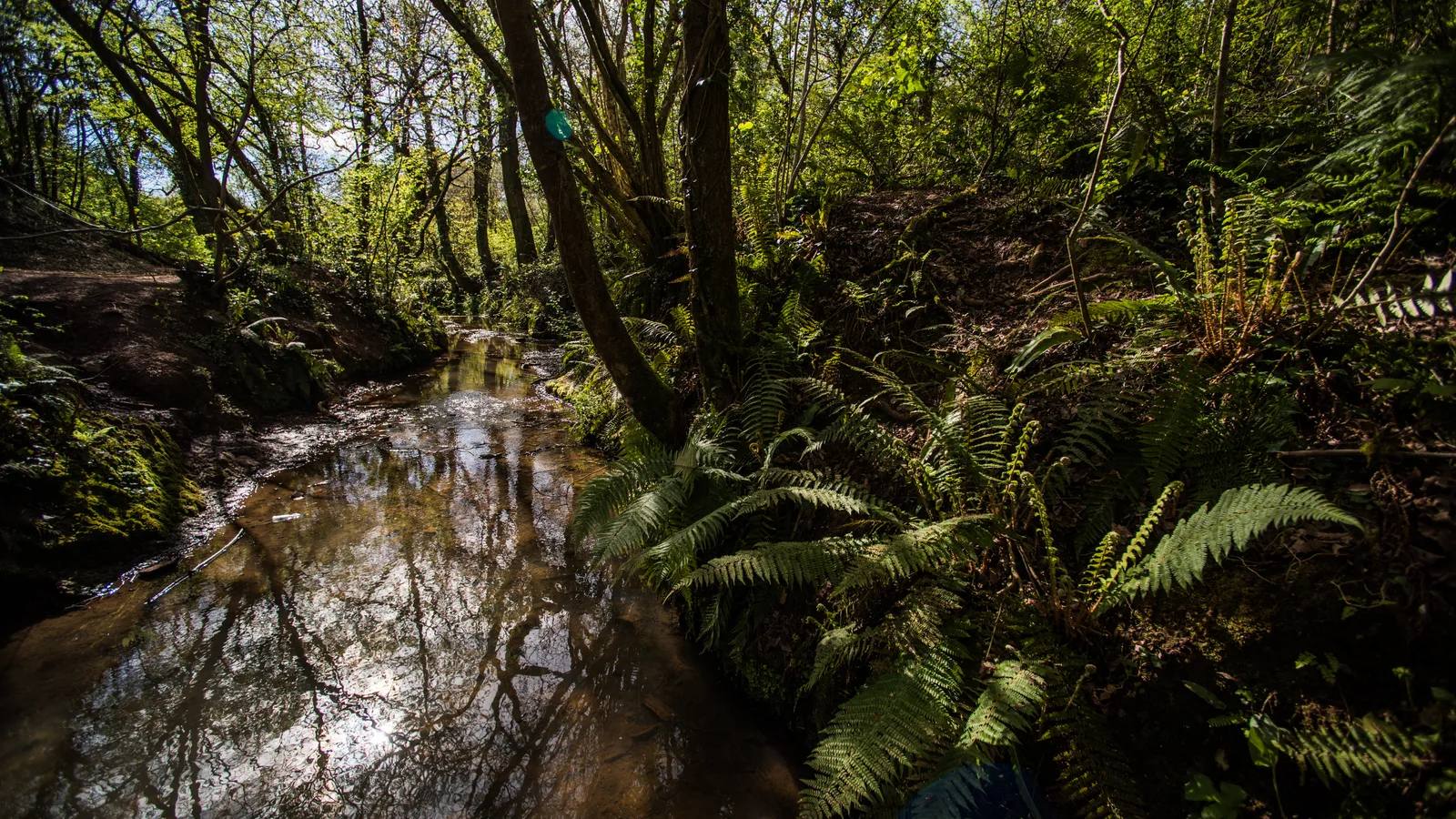
Mincinglake Green Circle Walk
- Distance
- About 2 miles
- Time
- 45 minutes
- Ground
- Roads, footpaths, a gravel reserve track, bridleway and an uphill finish
- Start
- Polsloe Bridge station, Pinhoe Road, Exeter EX4 8AB
The route
Follow the signed Green Circle line from Polsloe Bridge station along Pinhoe Road and St Katherines Road into Mincinglake Valley Park. Use the main gravel track, then the stream-side bridleway to finish at the Pennsylvania Road and Stoke Valley Road junction. A published road alternative avoids the steep muddy bridleway.
Open the official Mincinglake routeWhat dog owners need to know
Dogs are welcome in the Valley Park under effective control. Clean up after them and keep them away from dead birds while Devon Wildlife Trust’s avian-influenza precaution remains active.
Before you go
This is a linear walk from a rail station. The reserve is always open and has a picnic area, but no toilets. Stoke Hill and Calthorpe Road car parks serve the reserve if you are adapting the route rather than following it from the station.
Watch for: Parts of the park remain open after the 11 August 2026 wildfire, but the manager asks visitors to avoid badly burnt areas. Check the live reserve notice before setting out.
Marsh Barton to Whipton Canal, river and meadow variety
Ludwell Valley Walk
- Distance
- About 3 miles
- Time
- 1 hour
- Ground
- Canal and riverside paths, road crossings, lanes, field paths and multiple kissing gates
- Start
- Marsh Barton railway station, Exeter EX2 8QE
The route
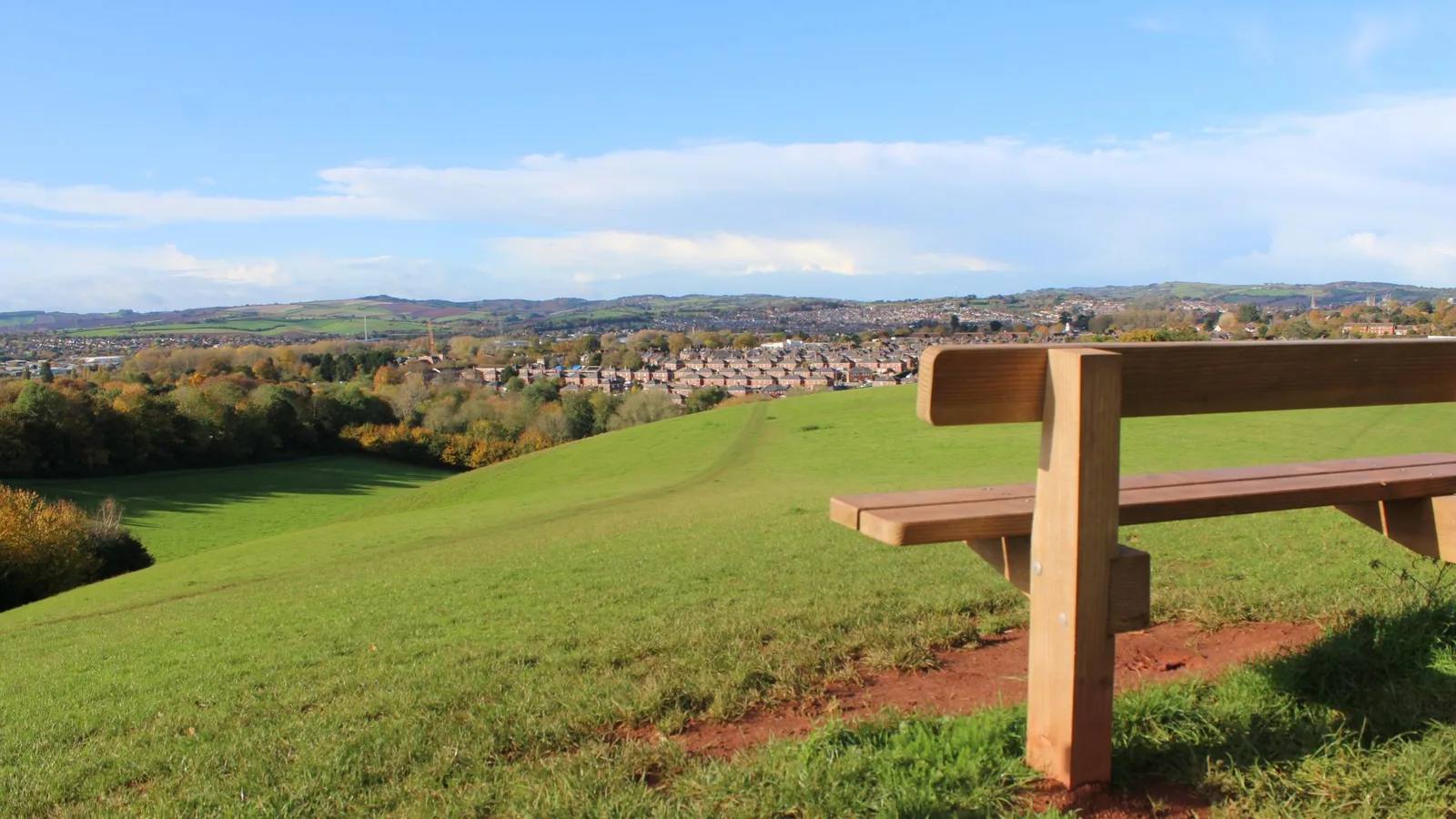
Follow the signed Green Circle line from Marsh Barton station across Exeter Ship Canal and the River Exe. Continue beside the mill stream, cross Topsham Road into Ludwell Valley Park and follow Northbrook before finishing through Sweetbrier Lane and Vaughan Road at Georges Close.
Open the official Ludwell Valley routeWhat dog owners need to know
Dogs are welcome under effective control. Livestock can graze in Ludwell Valley Park from April to October, so use a lead around cattle and follow the current field signs.
Before you go
The route begins at Marsh Barton station and ends where the Mincinglake section starts. Ludwell has no dedicated car park; the manager identifies Pynes Hill and nearby road parking. The park is always open, has a picnic area and has no toilets.
Watch for: The easy-access section is limited to the cycle path between Wendover Way and Pynes Hill. Other paths can be steep and muddy, and the published line includes gates and road crossings.
Pennsylvania to St David’s A green route through campus and the city
Hoopern Valley Walk

- Distance
- About 2 miles
- Time
- 45 minutes
- Ground
- Mostly paved footpaths and quiet roads, with rougher paths near Belvidere Meadows
- Start
- Junction of Pennsylvania Road and Stoke Valley Road, EX4 5EU
The route
Follow the Green Circle from the Pennsylvania junction through Belvidere Meadows and the University of Exeter Streatham Estate. Continue through Lower Hoopern and Bury Meadow, then pass St David’s churchyard and the Iron Bridge to finish at Bonhay Road.
Open the official Hoopern Valley routeWhat dog owners need to know
Keep dogs on a lead at all times on the University grounds and clean up after them. In the Valley Parks, use effective control and be ready to use a lead around livestock, which may graze from April to October.
Before you go
There is no dedicated route car park. This linear walk finishes about half a mile, or 12 minutes on foot, from Exeter St David’s station. The line passes several cafés and other refreshment options.
Watch for: University access is subject to the conditions displayed at its entrances and can be restricted. The Belvidere section may be rougher than the otherwise paved route.
Haldon Hills A short, smooth all-weather circuit
Mamhead Wellbeing Trail
- Distance
- 1 mile (1.6km)
- Time
- No official time published
- Ground
- Wide, flat, smooth hard-packed gravel, suitable in all weather and for wheelchairs and buggies
- Start
- Mamhead Forestry England car park, Haldon obelisk, EX6 8HX
The route
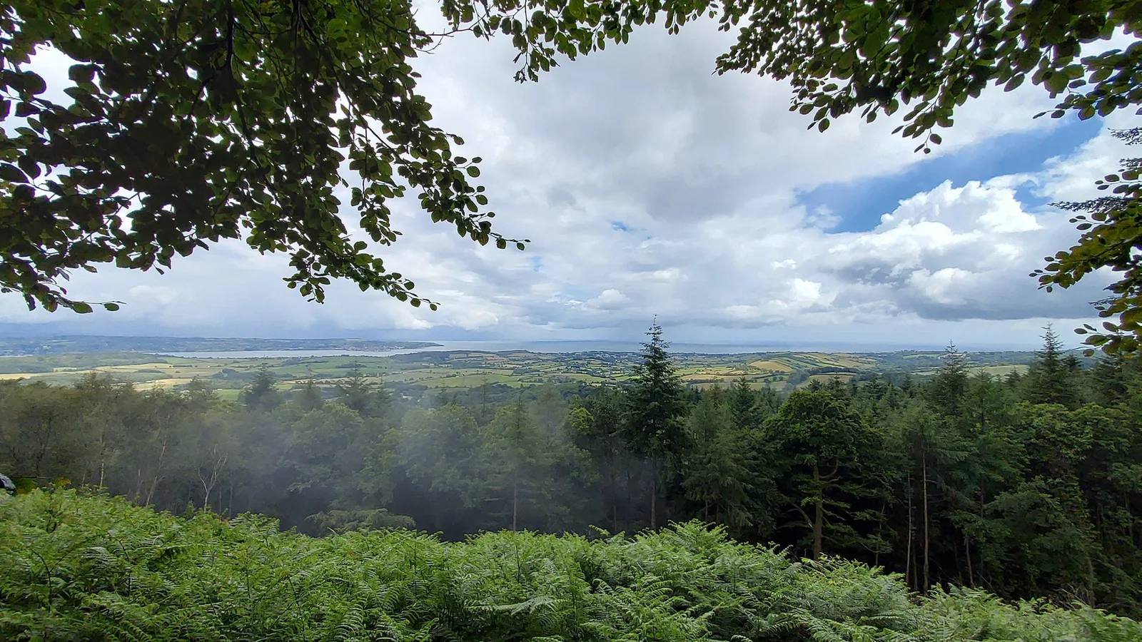
Follow the waymarked one-mile circuit from Mamhead car park. The themed panels invite short pauses around the woods, while the published surface stays wide, flat and hard-packed throughout.
Open the official Mamhead Wellbeing TrailWhat dog owners need to know
Dogs are welcome. Follow the Forestry England dog code, keep them in sight, protect wildlife and clear up. Dog-waste bins are provided in the car park.
Before you go
Current parking is £1 up to 1 hour, £2 up to 2 hours or £5 all day, with card payment only. There are no toilets; the nearest are at Haldon Forest Park or the A38 service station. Teign Bean normally opens Wednesday to Friday 10am to 3pm and weekends 10am to 4pm.
Watch for: The car park has no designated accessible bays. The isolated route card still says free parking, but the current forest parking table lists paid charges, so check the machine before leaving the car.
Parking, livestock and seasonal access
Planning your Exeter dog walk
Choose a circular route if you need to return to the same car park. The three Green Circle choices are linear, so plan the return before leaving. Carry water, use a lead around livestock and on the University estate, keep dogs away from wildlife and obey temporary closures. Recheck the Mincinglake wildfire notice and Haldon car-park works on the day.
Exeter Green Circle overview and GPX
The useful short answers
Before you choose an Exeter dog walk
Which Exeter dog walk is shortest?
Mamhead Wellbeing Trail is the shortest selected circuit at 1 mile or 1.6km. Forestry England describes its hard-packed gravel surface as wide, flat and suitable in all weather.
Which routes can I start by train?
Mincinglake starts at Polsloe Bridge station and Ludwell starts at Marsh Barton station. Both are linear Green Circle sections, so plan a rail, bus or walking return from the other end.
Where must dogs stay on leads?
Dogs must stay on a lead throughout the University of Exeter section of Hoopern Valley Walk. Killerton requires short fixed leads inside its mapped pink boundary and wherever signed. Use a lead around livestock on every route and follow temporary notices.
Which walk has the best facilities?
Haldon Forest Park has toilets, an accessible toilet, drinking water and a daily café at the visitor hub. Killerton has car-park toilets, a dog-friendly coffee shop, bowls, bins and a rinsing station. The Green Circle valley sections have fewer dedicated facilities.
Are any routes affected by current warnings?
Devon Wildlife Trust asks Mincinglake visitors to avoid badly burnt areas after the 11 August 2026 wildfire and to keep dogs away from dead birds during its avian-influenza precaution. Haldon currently records car-park groundworks. Check both live pages before travelling.
How current is this guide?
Every selected route, dog rule, arrival and practical detail was checked against current manager pages on 22 September 2026. Live signs, temporary closures and manager notices remain the final authority.
Help keep this guide useful
Is something wrong?
Dog rules, closures and access can change. Tell us what you spotted and we will check it against the latest official source before changing the guide.