
An independently researched Essex walking guide
6 of the best dog walks in Essex
Six checked Essex dog walks, from a 30-minute country park loop to a 4km woodland circuit, with exact starts, official routes and the livestock and wildlife rules that matter.
Researched by Pet Storybook Details verified 22 September 2026
Start here
Which Essex dog walk fits today?
Six published routes worth planning properly
This chooser uses bounded routes from the National Trust, City of London, Explore Essex, Essex Wildlife Trust and Dedham Vale National Landscape. Every profile separates the exact arrival from the route and records surfaces, parking, facilities and dog restrictions.
Gate times, livestock, wildlife, mud, flooding and temporary works can change. Carry water and a lead, save the managing body’s route before setting out and let current signs and staff instructions override this checked guide.
Takeley Ancient woodland and a lakeside start
Hatfield Forest walk
- Distance
- 1.7 miles (2.72km)
- Time
- 1 hour 30 minutes to 2 hours
- Ground
- Easy lake and woodland paths, boardwalk and coppice; muddy after wet weather
- Start
- Shell House, Hatfield Forest, grid reference TL540197
The route
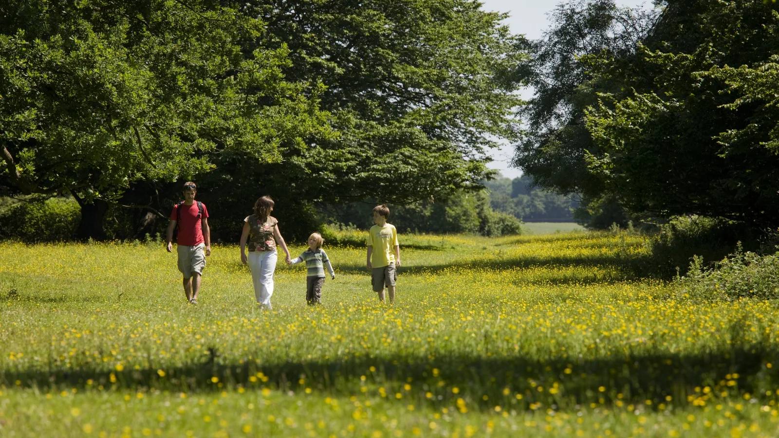
Follow the National Trust’s seven-stage circular from Shell House across the lake dam, along the boardwalk and through coppice and Portingbury Hills before returning to the lake. The Trust says the route no longer has waymarkers, so keep the official directions open.
Open the official Hatfield Forest walkWhat dog owners need to know
Use a short lead in the Lake Area and around livestock. Elsewhere, a dog with instant recall can be under close control. Dogs cannot enter fenced sheep enclosures or the dog-free zone between Shell House and Decoy Lake. Temporary signs can add lead restrictions.
Before you go
Shell House car park is closest to the start. Current vehicle entry is 9am to 4pm, and cars may remain until dusk. Parking is £9 for nonmembers from 1 March 2026. The lakeside café and toilets are beside Shell House, with water bowls and dog bins.
Watch for: The Trust recommends this route from April to October because winter mud can make the paths difficult. Check the day’s livestock signs.
Chingford A waymarked forest and lake circuit
Epping Forest Willow Trail
- Distance
- 2.5 miles (4km)
- Time
- About 1 hour
- Ground
- Mostly easy surfaced tracks and grass, with one short steep slope to Connaught Water
- Start
- Connaught Water car park, nearest manager postcode IG9 5UB
The route
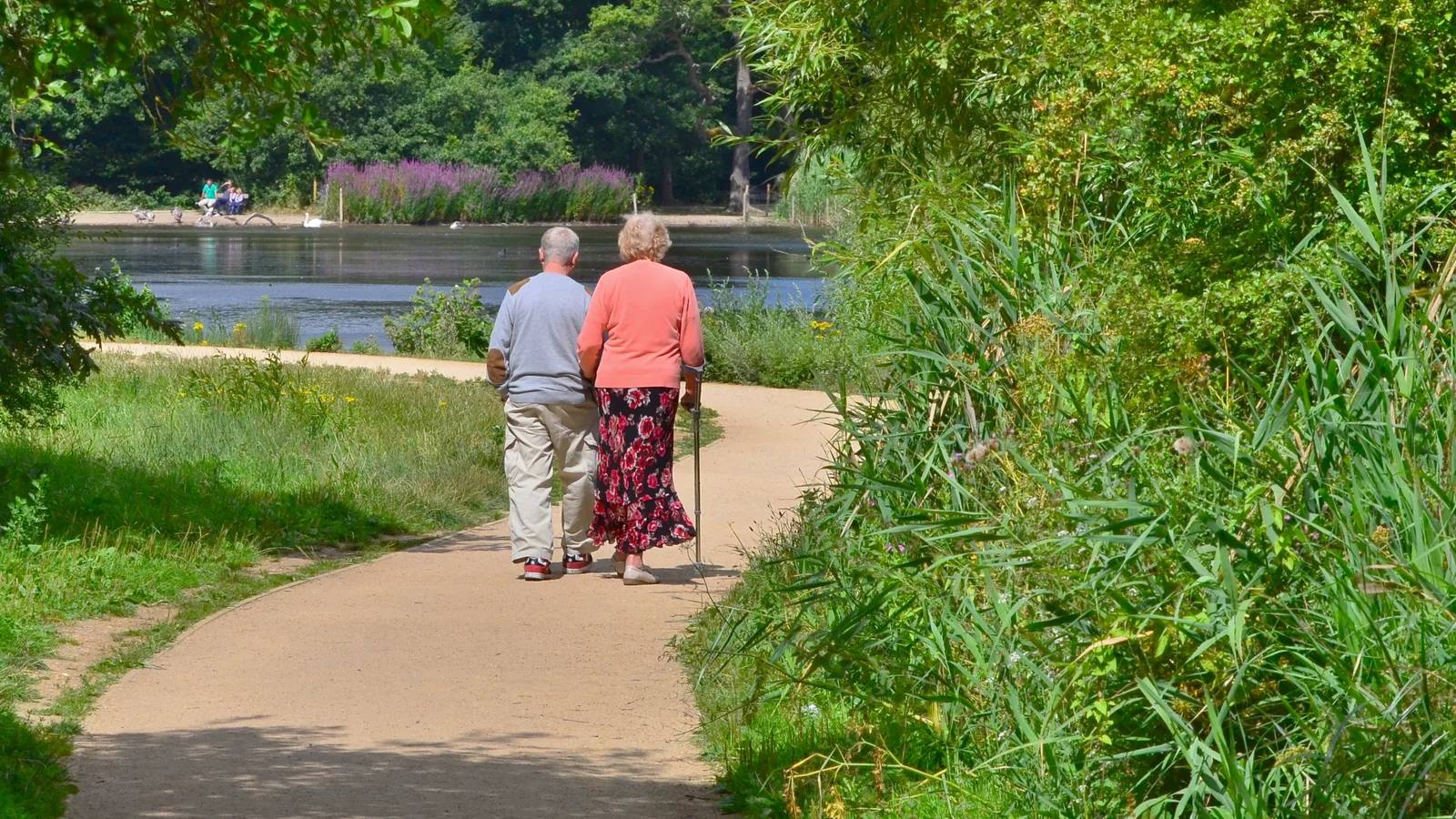
Follow the Willow Trail waymarks from Connaught Water through Chingford Plain, past Grimston’s Oak and Long Hills, then climb the short slope back to the lake. The separate 1km easy-access Connaught Water loop is a different route.
Open the official Willow Trail mapWhat dog owners need to know
Keep dogs under effective control. A dog without reliable recall must stay on a lead. Obey seasonal lead signs protecting rare species, and never let a dog chase cattle, deer, horses or other wildlife.
Before you go
The named car park is at the route start. Google uses the postal address Ranger’s Road, E4 7QH, while the route map gives IG9 5UB as the nearest postcode. The accessible toilet and refreshments are at the Chingford visitor centre about 0.6 miles away, not at the trailhead.
Watch for: The grass and short steep slope mean this is not the easy-access lake loop. Deer and grazing cattle can appear near the route.
Weald Country Park A dog-specific marked country park loop
Pete Wicks Dog Walking Trail
- Distance
- 3km
- Time
- About 1 hour
- Ground
- Mixed park paths with hills and possible mud after wet weather
- Start
- Cricket Ground car park, Weald Country Park, CM14 5QG
The route
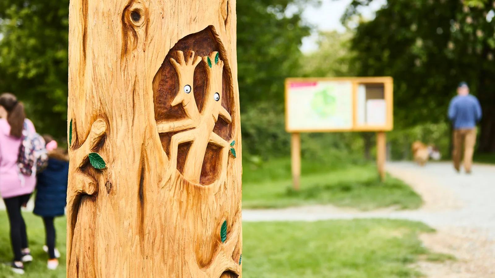
Follow the marked 3km dog trail from Cricket Ground car park through Weald Country Park. The official map fixes the full circuit and shows a lake-path shortcut for a quicker, easier return.
Open the official Pete Wicks Dog Walking TrailWhat dog owners need to know
Keep dogs under control or on a lead at all times, prevent wildlife chasing, obey signs and close gates. Cattle sometimes graze in The Roughs and Top Park. Use a lead wherever dogs could disturb wildlife, grazing animals or other visitors.
Before you go
The park is open daily from 8am to dusk. Paid parking currently starts at £3.15 for one hour. Toilets, accessible facilities and baby changing are within walking distance of all four car parks. The café welcomes dogs and the park provides taps and dog bowls.
Watch for: The main loop includes hills and can become muddy. Use the mapped lake shortcut if the full circuit does not suit the day.
Hadleigh A short surfaced loop with estuary views
Hadleigh Country Park Daily Mile
- Distance
- 1.5km
- Time
- About 30 minutes
- Ground
- Resurfaced multi-use park paths near the Hub, picnic area and viewpoint
- Start
- The Hub, Chapel Lane, Hadleigh, Benfleet SS7 2PP
The route
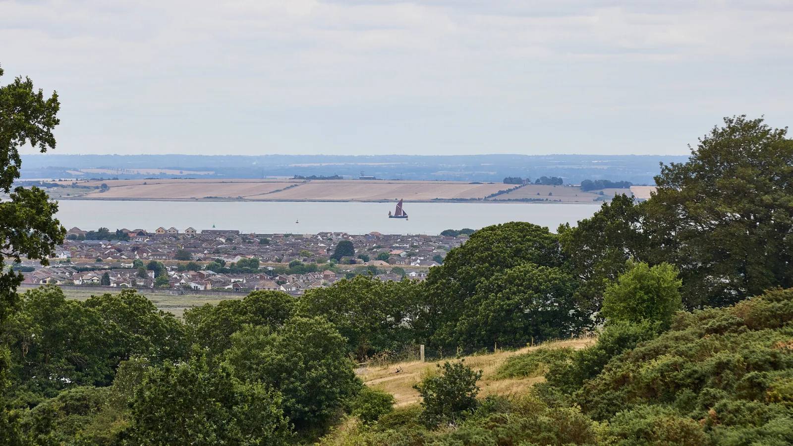
Begin at the signed Daily Mile start beside the Hub, toilets and café. Follow the bounded loop past the picnic and play areas to the Hadleigh Castle viewpoint, then return to the Hub on the mapped multi-use paths.
Open the official Hadleigh Daily Mile mapWhat dog owners need to know
Dogs are welcome and must remain under control. Put dogs on a lead in livestock areas. Goats, cattle and sheep graze in the park, and dogs must not disturb water or wildlife.
Before you go
The Chapel Lane car park is open from 8am to dusk. Paid parking currently starts at £3.15 for one hour. Public toilets at the Hub open at 8.30am, and the café, water and dog-friendly access are close to the route start.
Watch for: This is the 1.5km Daily Mile, not the separate 1km Family Trail or 9km Loop of Park. Shared paths can be busy with cyclists and walkers.
Danbury A varied woodland and heath circuit
Danbury Ridge Nature Trail
- Distance
- 4km (2.5 miles)
- Time
- About 75 minutes
- Ground
- Unsurfaced woodland and heath paths, slopes, boardwalks, streams, gates and kissing gates
- Start
- Main Runsell Lane entrance, Danbury CM3 4NZ
The route
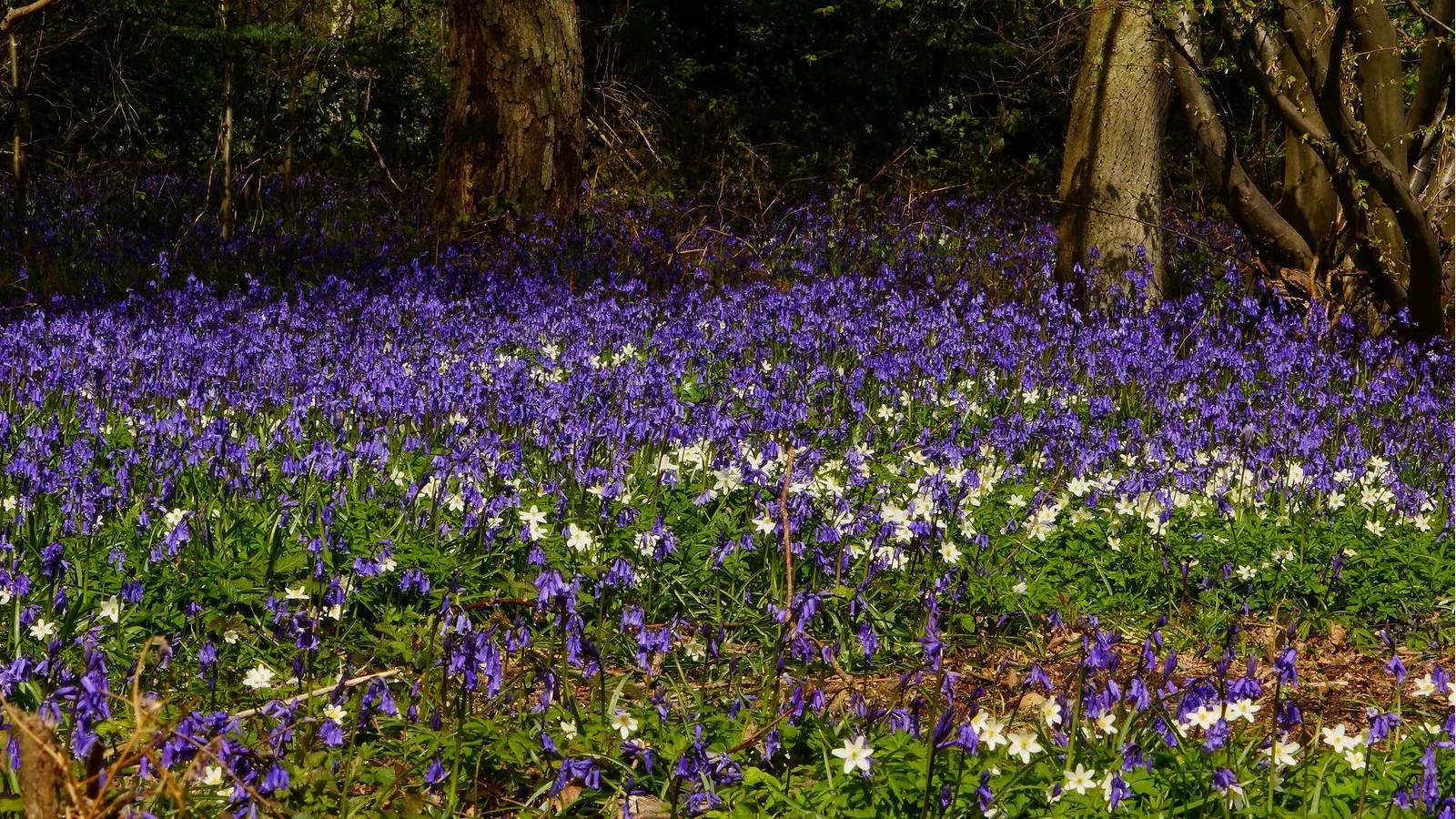
Follow the eight-stop circular from Runsell Lane through Scrubs Wood, Little Baddow Heath, Pheasanthouse Wood and Farm, Birch Wood and Woodham Walter Common. The current 2025 guide keeps the route map and directions; the still-live 2023 edition supplies the 4km and 75-minute summary.
Open the current Danbury Ridge trail guideWhat dog owners need to know
Dogs are permitted under effective control. Goats graze in August. Cattle graze in March and from August to October. Follow current signs and use close control around every grazing compartment.
Before you go
Essex Wildlife Trust publishes limited roadside parking at the main Runsell Lane entrance and embeds the exact arrival coordinates used here. No toilet, refreshment or drinking-water facility is promised, so bring water and plan facilities elsewhere.
Watch for: Paths can become muddy in winter and the route includes inclines, boardwalks, gates and stream crossings. Seasonal grazing periods overlap in August.
Dedham A riverside circuit through Constable Country
River Stour and Constable Country
- Distance
- 1.9 miles (3km)
- Time
- About 45 minutes
- Ground
- Paths, tracks, fields and short road sections; muddy or flooded after heavy rain
- Start
- War Memorial, Royal Square, Dedham
The route
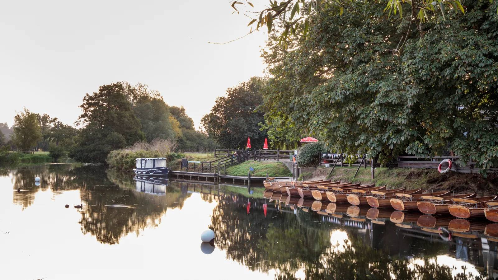
From the War Memorial, cross the High Street and follow Mill Lane to the Stour Valley Path. Continue along the river, cross at Fen Bridge, return on the opposite bank and use the field and hedged paths back to Dedham High Street. The optional Flatford extension is not included in the distance.
Open the official Walking in Dedham guideWhat dog owners need to know
Keep dogs under close control at all times, especially around farm animals and during the March to September bird-nesting season. Release a dog if chased by cattle and always clear up after it.
Before you go
The guide publishes Dedham Mill car park, CO7 6DH, as the visitor arrival. Google names it Mill Lane Dedham Car Park. The walk starts at the War Memorial in Royal Square, a short walk away. The source does not promise toilets, refreshments or drinking water.
Watch for: The route can flood and has deep water beside the path. The managing body still serves this guide, but its route text was published in 2017 and reprinted in 2018, so recheck signs and river conditions on arrival.
Parking, livestock and seasonal access
Planning your Essex dog walk
Use the exact named arrival, check gate and facility times, bring water and carry a lead. Put dogs on a lead around livestock, keep them away from nesting birds and deer, and obey any temporary signs. After heavy rain, Hatfield and Danbury can be muddy while the Dedham river route can flood.
The useful short answers
Before you choose an Essex dog walk
Which Essex dog walk is shortest?
Hadleigh Country Park’s Daily Mile is the shortest selected route at 1.5km and about 30 minutes. It uses resurfaced multi-use paths from the Hub and passes the castle viewpoint.
Which route is best for a longer walk?
Danbury Ridge and Epping Forest’s Willow Trail are both 4km. Danbury is the rougher option, with unsurfaced paths, slopes and boardwalks. The Willow Trail is mostly surfaced track and grass, with one short steep slope.
Do dogs need to stay on leads?
Rules vary by site. Hatfield requires a short lead in the Lake Area and around livestock. Epping requires effective control and seasonal leads where signed. Weald requires control or a lead at all times. At every route, use a lead around grazing animals and obey current signs.
Which walk has the best facilities?
Hatfield Forest, Weald Country Park and Hadleigh Country Park have toilets and refreshments close to the route start. The Epping visitor centre facilities are about 0.6 miles from Connaught Water. Danbury and Dedham do not have facilities promised in the route sources.
Which routes are most affected by wet weather?
Hatfield Forest can become difficult in winter mud, Danbury’s unsurfaced paths can be muddy, and the Dedham river circuit can flood. Hadleigh’s short loop is resurfaced, but current closure signs still take priority.
How current is this guide?
Every route, arrival and dog rule was checked against its managing body on 22 September 2026. The Danbury distance and time come from an older still-live official edition while its map and route follow the current 2025 guide. The Dedham guide was published in 2017 and reprinted in 2018. Current official pages and on-site signs remain the final authority.
Help keep this guide useful
Is something wrong?
Dog rules, closures and access can change. Tell us what you spotted and we will check it against the latest official source before changing the guide.