
An independently researched Edinburgh walking guide
6 of the best dog walks in Edinburgh
Six checked dog walks in and around Edinburgh, from a tide-dependent island crossing and rugged city park circuit to woodland, reservoir and estate routes with exact starts and current dog rules.
Researched by Pet Storybook Details verified 22 September 2026
Start here
Which Edinburgh dog walk fits today?
Six published routes worth planning properly
Each profile separates the Google Maps arrival from the managing body’s route line. The mix includes coastal, central, south-city and edge-of-city walks rather than treating every green space as one interchangeable outing.
Tides, rockfall closures, nesting birds, livestock, algae and working farmland can change the safe plan. Save the official route, carry water and a lead, and follow current signs when they differ from this checked guide.
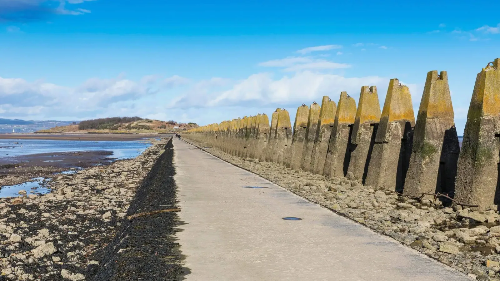
Cramond A coast walk with a tidal island crossing
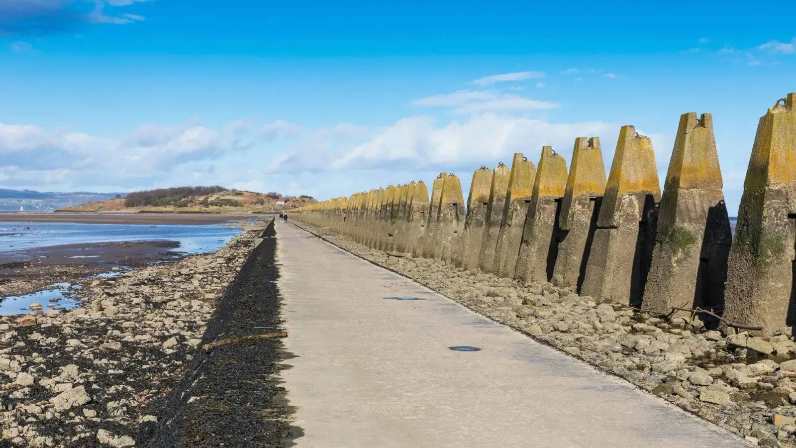
Cramond and Cramond Island
- Distance
- 8.75km
- Time
- 2 to 3 hours
- Ground
- Promenade, shore, exposed concrete causeway and rough island tracks
- Start
- Cramond Beach, Cramond, Edinburgh EH4 6NU
The route
Walk from Cramond Beach along the promenade and cross the tidal causeway to Cramond Island only inside the RNLI safe window. Explore the island tracks, then return over the causeway before that same safe period ends.
Open the official VisitScotland route summaryWhat dog owners need to know
Keep dogs close or on a lead near wildlife. From April to July, use a short lead or close control around ground-nesting birds, including on the seashore. Clean up and follow current signs.
Before you go
Cramond Glebe Road parking and toilets serve the foreshore. The number 47 bus reaches Cramond village. The island has no facilities or shelter.
Watch for: Check the current RNLI crossing table before leaving. Never wade through water on the causeway. In an emergency call 999 and ask for the Coastguard.
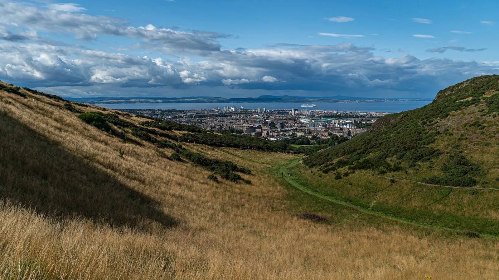
Holyrood Rugged city scenery on a defined circuit
Holyrood Park Blue Route
- Distance
- 2.5km
- Time
- About 1.5 hours
- Ground
- Rugged uneven ground, slippery surfaces, steep inclines and sheer drops
- Start
- Queen’s Drive beside Broad Pavement Car Park
The route
Follow the blue circuit from Broad Pavement Car Park through Hunter’s Bog and the central park, using the numbered waypoints in Historic Environment Scotland’s self-guided leaflet before returning to the north side.
Open the official Holyrood self-guided walks PDFWhat dog owners need to know
Dogs are welcome and owners must clean up. Follow every seasonal sign requiring leads around ground-nesting birds.
Before you go
Toilets are behind the palace at the Holyrood Park Education Centre and have seasonal daily hours. Broad Pavement parking is charged on weekdays, park roads close to motor traffic at weekends and buses stop near the palace.
Watch for: The ground can be steep and slippery with sheer drops. The Radical Road is outside this route and remains closed for rockfall safety.
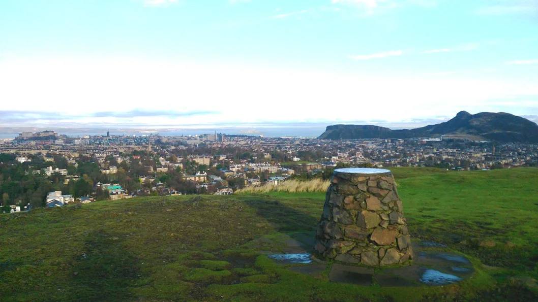
Blackford Woodland, pond and a city viewpoint
Blackford Hill and Hermitage circuit
- Distance
- 4.25km
- Time
- About 1.5 hours
- Ground
- Surfaced pond paths, rough hill and woodland paths, steep slopes, steps and mud
- Start
- Blackford Pond, Edinburgh
The route
Use the council map’s blue and red routes to link Blackford Pond, Blackford Hill and the Hermitage woodland, returning to the pond. Keep the route map open where paths split.
Open the official council route mapWhat dog owners need to know
Keep dogs under proper control, clean up and use a short lead or close heel on busy shared paths. Keep dogs away from wetland birds and follow current local signs.
Before you go
Blackford Pond has nearby access from Cluny Gardens and Midmar Drive. The Hermitage visitor centre on Braid Road has toilets open daily from 9am to 4pm except listed winter public holidays.
Watch for: The hill and woodland sections can be rough, steep or muddy. The 4.25km distance and time come from VisitScotland; the route geometry comes from the council map.
Pentland Hills An easier reservoir circuit
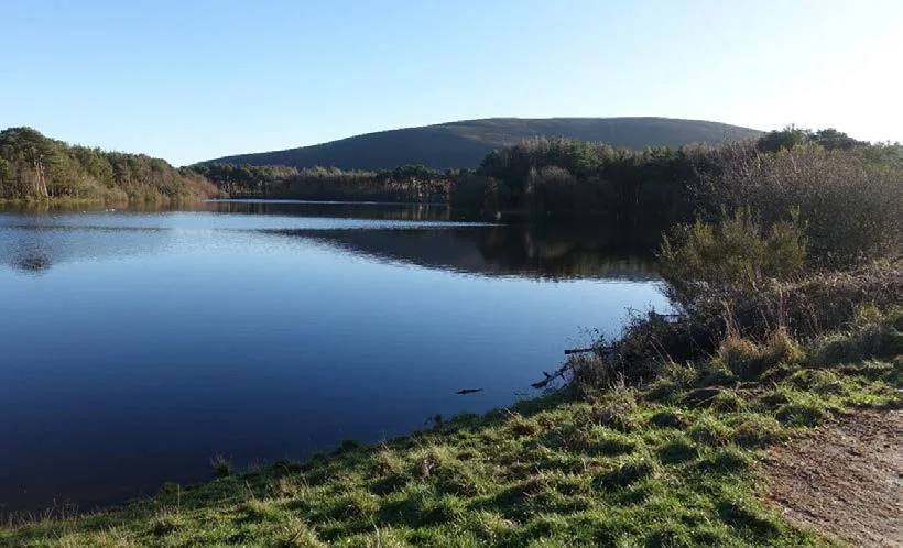
Harlaw Woodland Walk
- Distance
- 2 miles (3.5km)
- Time
- No official time published
- Ground
- A 0.9-mile all-abilities path and one-mile tarmac vehicle track
- Start
- Harlaw House visitor centre, 200m from Harlaw Reservoir Car Park
The route
From Harlaw House, follow the Squirrel waymarkers around Harlaw Reservoir and return to the same side. The car park is about 200m from the official route start.
Open the official Harlaw Woodland WalkWhat dog owners need to know
Use a lead unless you are certain your dog will not run off. Keep dogs short-leaded or close at heel around livestock, crop fields and nesting birds from April to July. Never let dogs enter reservoir water when blue-green algae is present.
Before you go
Harlaw House is currently closed, but portacabin toilets are outside. Bus users can walk from the Balerno top terminus through Malleny Mills and Fairy Glen.
Watch for: Nearby sheep, cattle, crop fields and seasonal blue-green algae need close control. Follow current signs and ranger instructions.
Hillend A short, steep skyline circuit
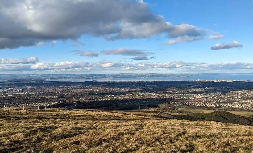
Capital View
- Distance
- 2.5 miles (4km)
- Time
- No official time published
- Ground
- Moderate route with a steep incline, exposed hill sections and shared paths
- Start
- Hillend Country Park lower car park, 118 to 120 Biggar Road, Edinburgh EH10 7DU
The route
Follow the Castle waymarkers from the lower car park over the ski slope, continue beside T-Wood and return through Swanston village and the farm track.
Open the official Capital View routeWhat dog owners need to know
Keep dogs under close control. Hillend can have many off-lead dogs, while Highland cattle may be present above the ski slopes. Use a lead around livestock and a short lead or close heel from April to July around nesting birds.
Before you go
Use the lower car park off Biggar Road. Lothian buses serve Hillend and the city bypass area. The route page does not promise toilets or refreshments.
Watch for: Expect a steep incline, exposed weather, shared paths and working farmland. Current livestock and nesting signs take priority.
Musselburgh An easy estate circuit with facilities
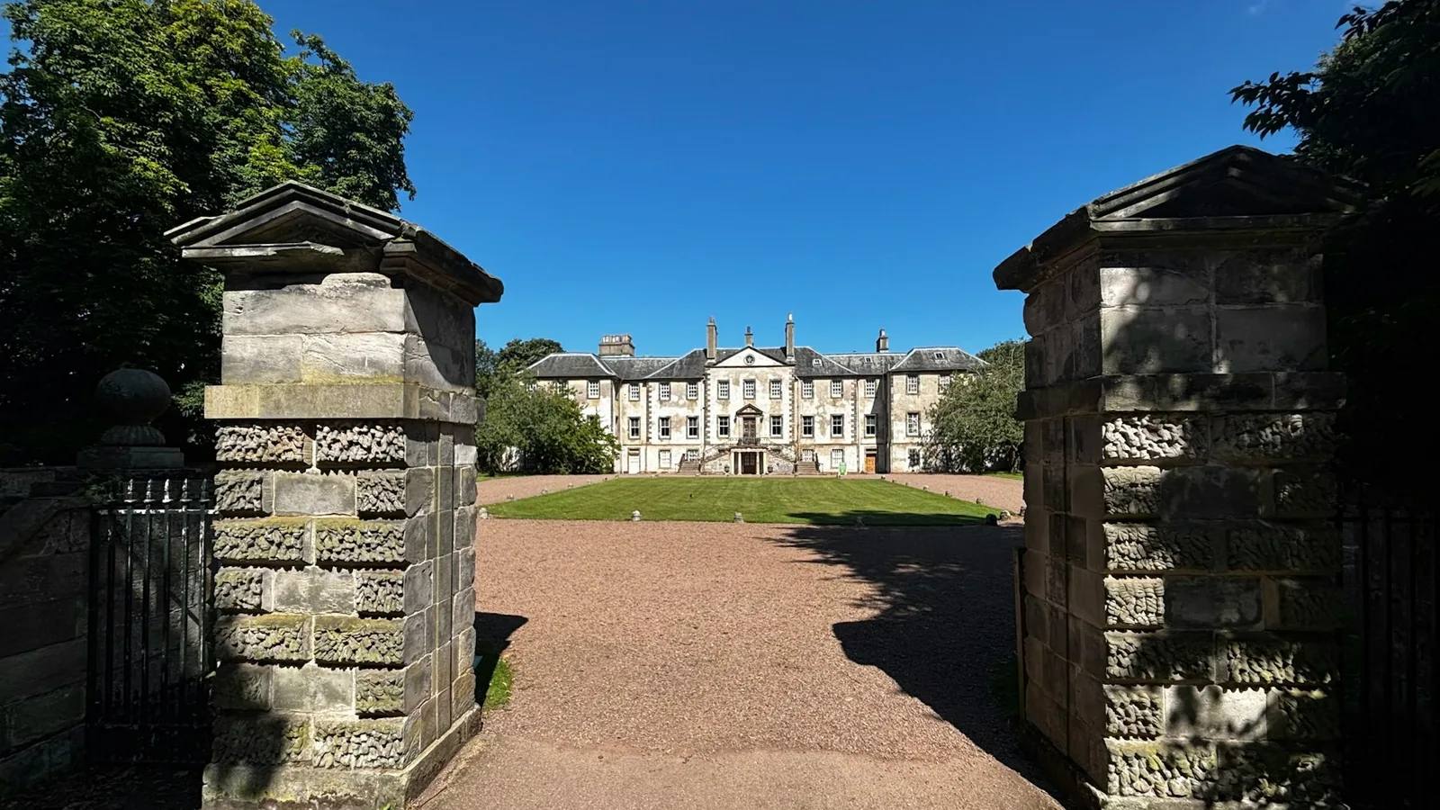
Newhailes Estate Walk
- Distance
- 1.25 miles (2km)
- Time
- About 1 hour
- Ground
- Wide woodland paths, steps and field paths, with a partial all-ability path
- Start
- Newhailes House and Gardens car park, Musselburgh EH21 6RY
The route
Follow the National Trust for Scotland’s eight-stage circuit from the car park past the house, Shell Grotto and Tea House, around the crop-field edges and back through Ladies’ Walk and East Grove.
Open the official Newhailes Estate WalkWhat dog owners need to know
Dogs are welcome in woodland, field perimeters and Lodge Park. Keep them under close control and out of crop fields, and use a lead when machinery is working. Short leads apply in the shop, cafe and Stables courtyard. Pet dogs are excluded from the playpark, market garden and house.
Before you go
Parking is currently £4 per vehicle for non-members and free for members with a valid sticker. Toilets and the Stables Cafe are in the courtyard. Newcraighall station is about a 20-minute walk from the entrance.
Watch for: Dog access differs by zone. The all-ability path covers only part of the water-garden woods, not the complete route.
Parking, livestock and seasonal access
Planning your Edinburgh dog walk
Check the RNLI table before Cramond, avoid Holyrood’s closed Radical Road and plan for exposed weather on hill routes. Use a lead around livestock, machinery, nesting birds and busy shared paths. Harlaw House remains closed, but temporary toilets are provided; Newhailes has the clearest cafe and toilet stop.
The useful short answers
Before you choose an Edinburgh dog walk
Which Edinburgh dog walk is shortest?
Newhailes Estate Walk is the shortest selected route at 1.25 miles or 2km. It is easy overall, though the complete circuit includes steps and field paths.
Which route needs a tide check?
Cramond Island can be reached only inside the RNLI safe crossing window. Complete the outward and return crossings inside the same published period and never wade through water.
Which walk is easiest underfoot?
Harlaw Woodland Walk combines a 0.9-mile all-abilities path with a one-mile tarmac vehicle track. Newhailes is easy overall but only part of its water-garden woods is an all-ability path.
Where do dogs need the closest control?
Use leads around livestock and machinery, on busy shared paths and wherever seasonal nesting signs require them. Newhailes also has short-lead and dog-exclusion zones.
Which route has the clearest facilities?
Newhailes has parking, toilets and the Stables Cafe. Holyrood and Blackford have nearby toilets, while Harlaw currently provides portacabin toilets outside the closed visitor centre.
How current is this guide?
Every selected route, dog rule, arrival and practical detail was checked against current managing-body sources on 22 September 2026. Live signs and notices remain the final authority.
Help keep this guide useful
Is something wrong?
Dog rules, closures and access can change. Tell us what you spotted and we will check it against the latest official source before changing the guide.