
An independently researched Cheshire walking guide
7 of the best dog walks in Cheshire
Seven properly sourced dog walks across Cheshire, from a two-mile easy-access forest loop to a seven-mile hill day, with exact starts, official route maps and the lead rules that matter.
Researched by Pet Storybook Details verified 17 September 2026
Start here
Which Cheshire dog walk fits today?
Seven published routes worth planning properly
These are bounded, published routes rather than loose place suggestions. Every profile separates the exact Maps arrival from the managing body’s route, then sets out ground, facilities, parking, livestock and wildlife limits.
Cheshire changes quickly from wet woodland to open deer park and exposed gritstone hills. Carry water and a lead, check the live manager page before setting out, and let current signs override general advice here.
Delamere, near Northwich An easy-access forest loop with clear waymarkers
Delamere Forest Doolittle Trail
- Distance
- 2 miles (3.4km)
- Time
- Up to 1 hour 30 minutes
- Ground
- Easy Access forest trail suitable for all-terrain mobility scooters and shared with cyclists
- Start
- Centre by the café at Delamere Forest visitor centre
The route
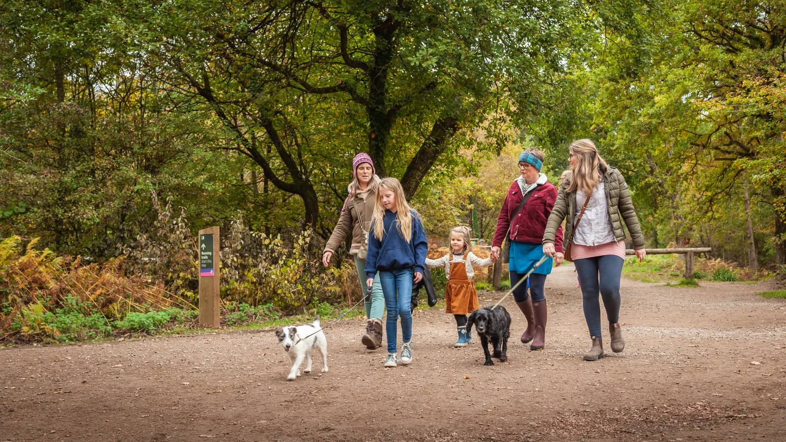
Start at the centre beside the café and follow the turquoise waymarkers around the circular Doolittle Trail. The loop passes mature beech, chestnut and Scots pine before skirting Doolittle Moss, then returns to the visitor-centre facilities.
Open the official Doolittle TrailWhat dog owners need to know
Dogs are welcome. Keep your dog close and in sight, use a lead if recall is unreliable, prevent chasing people or animals, and follow every wildlife sign. Keep to the path around Doolittle Moss and give cyclists room on this shared trail.
Before you go
The main cashless pay car park is beside the start. Toilets, an accessible toilet, Changing Places, café, information point and sheltered seating are at the visitor centre. The forest opens daily except Christmas Day, currently 8am to 8pm in summer and 8am to 5pm in winter.
Watch for: This is a shared walking and cycling trail beside sensitive wetland. Listen for bikes, keep your dog visible and check live closures before travel.
Nether Alderley Woodland gullies, old mine workings and a compact challenge
Alderley Edge woodland valley walk
- Distance
- 2 miles (3.2km)
- Time
- 1 hour to 1 hour 15 minutes
- Ground
- Moderate woodland and pasture paths, steep and muddy in places, with a stream crossing, crude steps and stiles
- Start
- Picnic area by the National Trust Alderley Edge car park
The route
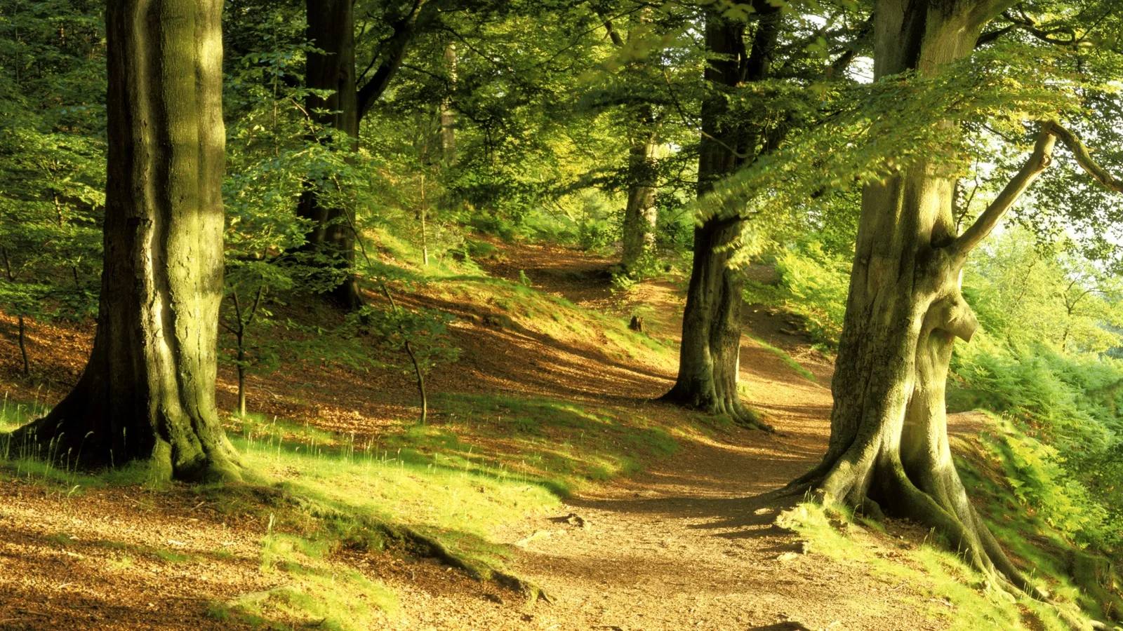
Follow the National Trust’s ten stages from the picnic area through Engine Vein, Dickens Wood and Waterfall Wood. Cross the stream on stepping stones, climb past the Beech Cathedral, cross open pasture and return along the farm track.
Open the official Alderley Edge woodland valley routeWhat dog owners need to know
Dogs are welcome and must stay under close control around livestock. The route crosses farmed pasture, so carry a lead, keep your dog on the path and follow current gate signs.
Before you go
Pay and display parking is beside the picnic-area start. The route page does not promise toilets, water or food at the car park, so arrive self-contained and carry drinking water.
Watch for: The stream crossing, crude steps, steep mud and stiles make this much rougher than its two-mile length suggests.
Knutsford Open parkland, deer and wetland views
Tatton Park Field to Fork trail
- Distance
- 3 miles (4.8km)
- Time
- 1 hour to 1 hour 30 minutes
- Ground
- Moderate uneven grassland and muddy paths around the park and meres, unsuitable for wheelchairs and pushchairs
- Start
- Field to Fork board on the signed walk from Tatton Park main car park
The route
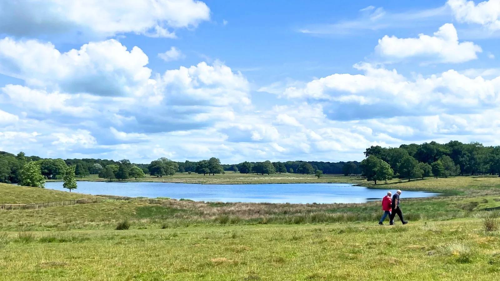
Walk from the main car park towards the Mansion and find the Field to Fork board beyond the gate beside the cattle grid. Follow the 11 boards past the Old Hall, Tatton Mere, Melchett Mere and wetland edge before returning towards the Mansion.
Open the official Field to Fork trailWhat dog owners need to know
Keep dogs on leads throughout this walk. Tatton’s current page says all parkland is lead-only for calving, while also listing 1 May to 31 July 2026 as the fixed lead season, so the stricter current instruction applies. Keep 50m from deer, keep dogs out of the water and bring no more than four dogs per person.
Before you go
The main car park, toilets, information point, picnic area, shop and restaurant are close to the route. Dog water bowls and a dog wash are near the Stableyard and welcome area. Dogs may use outdoor Stableyard seating but cannot enter the Stables Restaurant unless they are assistance dogs.
Watch for: This route passes deer and internationally important wetland. Use a lead even if older seasonal wording suggests close control and follow every temporary sign.
Disley A long hill day with stiles, deer and wide views
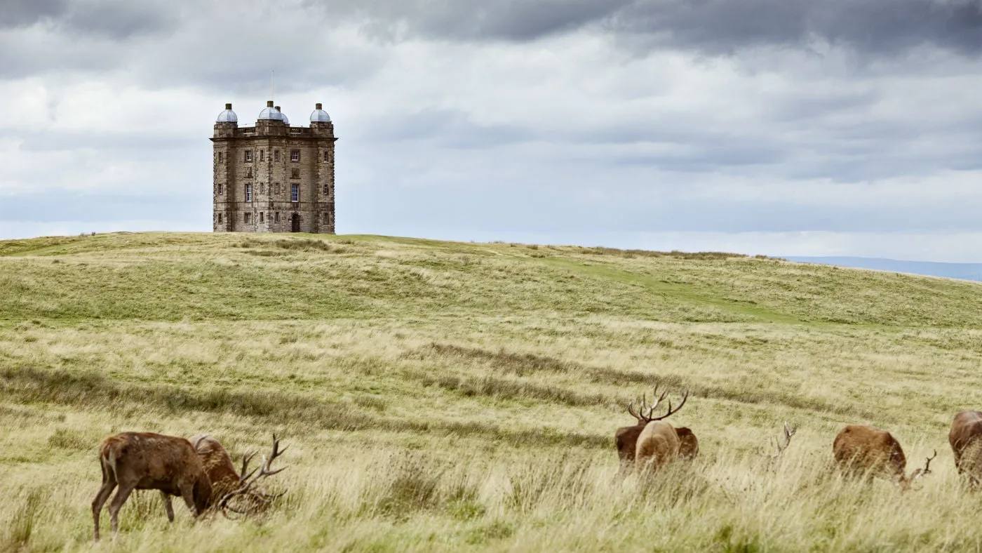
Lyme south perimeter walk
- Distance
- 7 miles (11.2km)
- Time
- 3 to 4 hours
- Ground
- Moderate lanes, roads, rough tracks and footpaths with steep ground, mud, tree roots and several stone, ladder and field stiles
- Start
- Lyme car park and information centre
The route
Follow the National Trust’s 12 stages from the car park past the Hall, East Lodge and Bowstones before climbing to Sponds Hill above 1,300ft. The return crosses more stiles and working farmland before joining the estate drive back to the car park.
Open the official Lyme south perimeter routeWhat dog owners need to know
Use a short lead throughout Lyme’s park and garden and whenever you meet deer, cattle, sheep or other animals. Knightslow Wood is the only named year-round off-lead area and is not this route. Beyond the estate, keep close control and follow every field sign.
Before you go
The official start has parking, toilets, an accessible toilet, café, shop and kiosk. The route is long enough that live estate and car-park closing times matter, so check them before setting out and carry water.
Watch for: Expect exposed high ground, road walking, many stiles and mud after rain. Leave enough daylight and do not treat the park facilities as a mid-route safety net.
Macclesfield A short, steep hill circuit with reservoir views
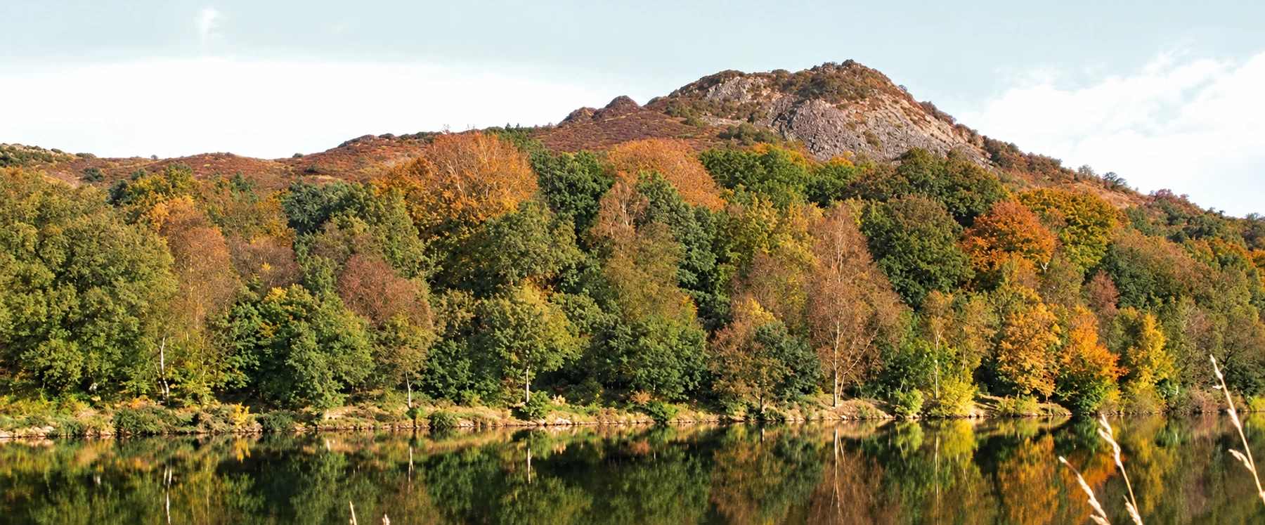
Tegg's Nose Trail
- Distance
- 2.5 miles (4km)
- Time
- Allow a half day
- Ground
- An energetic hill route with at least 200m of descent and ascent, woodland, reservoir dam and a final packhorse-track climb
- Start
- Tegg's Nose Country Park visitor centre
The route
Take the surfaced path beside the visitor-centre entrance and follow the pink dotted route on the official leaflet. Descend the southern slopes into woodland, cross Tegg’s Nose Reservoir dam, then climb back to the car park on historic Saddlers Way.
Open the official Tegg's Nose route leafletWhat dog owners need to know
Keep dogs under close control and use a lead through the cattle-grazed grassland. Cheshire East marks grazing from April to November and advises a lead whenever a dog may stray from the public path or worry livestock.
Before you go
The pay and display car park is open 24 hours, with no overnight parking and charging from 10am to 10pm. Public toilets are currently open 7am to 7pm daily. Picnic benches, a visitor centre and The Nose Coffee are at the start. No drinking-water point is promised.
Watch for: The route loses and regains at least 200m, crosses grazing ground and passes old quarry faces. Keep away from the top and foot of the rock faces.
Styal, near Wilmslow A short riverside woodland loop with industrial history
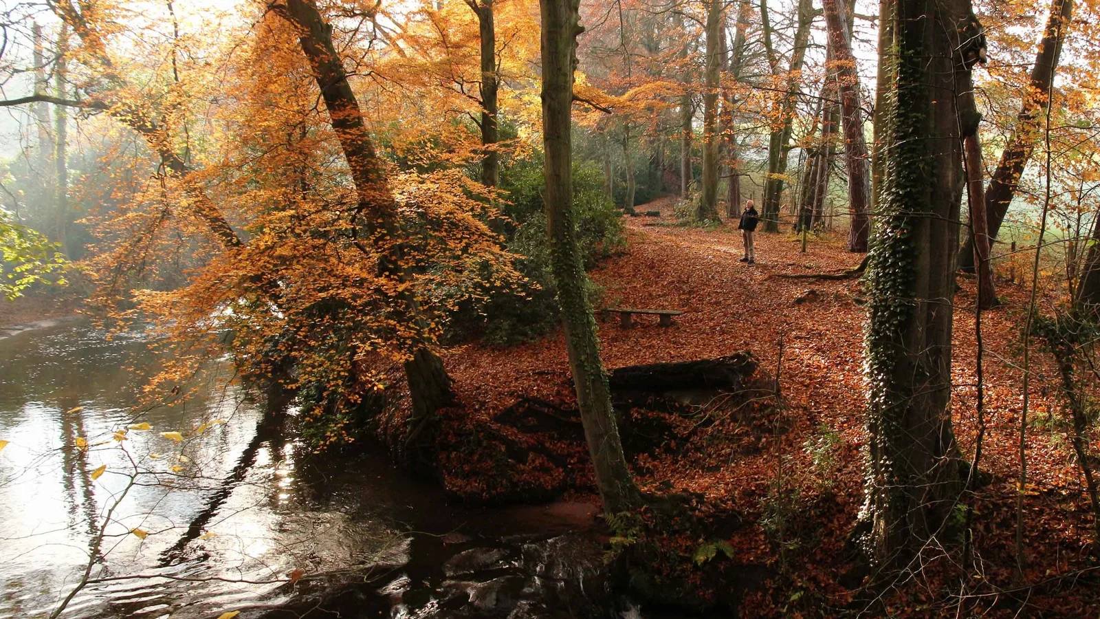
Quarry Bank Southern Woods
- Distance
- 1.5 miles (2.4km), or a 1-mile short option
- Time
- About 45 minutes
- Ground
- Easy riverside woodland paths with some slopes; partially accessible only to Heron’s Pool Bridge
- Start
- Quarry Bank Mill Yard, follow the purple waymarkers
The route
Begin in Mill Yard and follow the purple waymarkers through Southern Woods beside the River Bollin. The full circuit visits the mill pond and weir; the official route also marks a one-mile short option before returning to Mill Yard.
Open the official Quarry Bank Southern Woods routeWhat dog owners need to know
Dogs on leads are welcome on the route. Use a short lead in Mill Yard, Styal village, the garden and footpaths through main visitor areas, then close control on the wider estate. Put the lead on around cattle and be cautious beside the river, where the current can be strong.
Before you go
Use the main visitor car park rather than Styal village. Toilets are in Mill Yard. Dog water bowls are available around Mill Yard, Upper Garden Café and Visitor Reception. Only assistance dogs may enter the Weaving Shed restaurant and several historic buildings.
Watch for: The riverside is not a safe dog-swimming promise. Strong current, slopes and livestock all justify keeping the lead on.
Mow Cop, Cheshire and Staffordshire border A quick landmark walk with a huge view
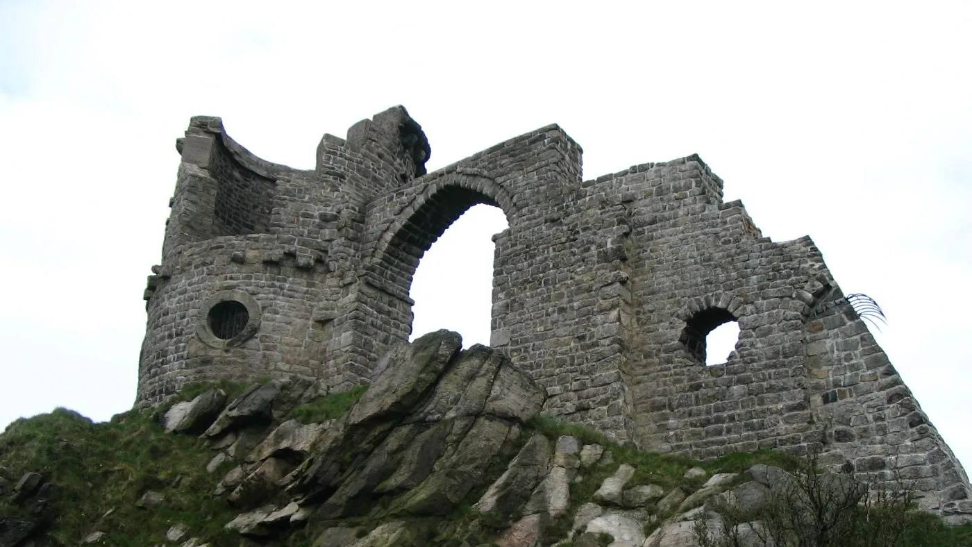
Mow Cop trail
- Distance
- 1 mile (1.6km)
- Time
- 20 to 40 minutes
- Ground
- Easy but undulating ground around the castle folly, distinctive rocks and former quarry landscape
- Start
- Mow Cop Castle Car Park on High Street
The route
Follow the National Trust’s eight-stage circuit from the car park towards the castle folly. The route loops around the castle and Old Man o’Mow rock while opening views across Cheshire and Staffordshire, then returns to the same car park.
Open the official Mow Cop trailWhat dog owners need to know
Well-behaved dogs are welcome. Keep your dog under close control around other visitors and the exposed rocks, clear up and take waste home when no bin is available.
Before you go
The start is the car park on Mow Cop High Street. National Trust says there are no toilet facilities in or around Mow Cop, so plan this as a short self-contained stop.
Watch for: The route is short but exposed and uneven. There are no toilets or staffed facilities at the start.
Parking, closures and seasonal access
Planning your Cheshire dog walk
Parking charges, gate times, grazing locations and path conditions can change. Delamere uses seasonal closing hours, Tatton can add livestock restrictions, Tegg’s Nose has cattle from April to November, and the hill routes become harder in wind or rain. Open the live managing-body page on the day, arrive at the named start rather than a broad postcode, and keep official route directions available offline.
Forestry England, current Delamere visitor information
The useful short answers
Before you choose a Cheshire dog walk
Which Cheshire dog walk is easiest underfoot?
Delamere’s two-mile Doolittle Trail is the clearest easy-access choice. It follows turquoise waymarkers, is suitable for all-terrain mobility scooters and starts beside the visitor-centre facilities, though it is shared with cyclists.
Can dogs be off lead on these walks?
Quarry Bank requires leads on its Southern Woods route, Tatton currently requires them across parkland and Lyme requires a short lead across the estate section. Delamere, Alderley Edge, Tegg’s Nose and Mow Cop use close-control rules, with leads around livestock, wildlife or whenever recall is unreliable.
Which walk is best for a longer challenge?
Lyme’s south perimeter walk is seven miles and takes three to four hours. It crosses steep, muddy and exposed ground with roads and many stiles, so check the weather, estate times and daylight before starting.
Which routes have dog water?
Tatton lists dog bowls near the Stableyard and welcome area. Quarry Bank lists bowls around Mill Yard, the Upper Garden Café and Visitor Reception. Carry your own water on every route because opening times and supplies can change.
What seasonal dog rules matter?
Tegg’s Nose marks cattle grazing from April to November. Tatton’s current page requires leads throughout the parkland for calving and also lists 1 May to 31 July 2026 as its fixed lead season, so use the stricter live instruction. Lyme’s off-lead areas change seasonally outside Knightslow Wood.
How current is this guide?
Every route, arrival and dog rule was checked against its managing body on 17 September 2026. Temporary closures, livestock and weather can change faster than editorial copy, so the linked official page and on-site signs remain the final authority.
Help keep this guide useful
Is something wrong?
Dog rules, closures and access can change. Tell us what you spotted and we will check it against the latest official source before changing the guide.