
An independently researched Bristol guide
8 of the best dog walks in Bristol
Choose a Bristol-area walk by distance, ground and dog rules, from a short meadow trail to a 6.6km estate circuit. Two flexible walks let you choose your own distance.
Researched by Pet StorybookDetails verified 16 September 2026
Start here
Which Bristol dog walk fits today?
Eight Bristol walks worth saving and sharing
Woodland, a riverside gorge, open parkland and a lakeside nature trail give these eight walks different reasons to visit. Start with the distance and terrain that suit your dog, then open the route map before setting out.
Published circuits have their own starting point and measurements. Snuff Mills and Troopers Hill are flexible walks. Entry is free, but parking or transport may cost extra; bring water and allow time for stops.
Henbury, north Bristol A short, marked woodland-and-gorge walk with a fixed start
Blaise Castle Estate Gorge Walk
- Distance
- Approximately 1.5 miles
- Time
- About 50 minutes
- Ground
- Hard route on surfaced and woodland paths, with steep inclines, drops and a long steep uphill section
- Start
- Blaise Cafe, beside Blaise House
The route
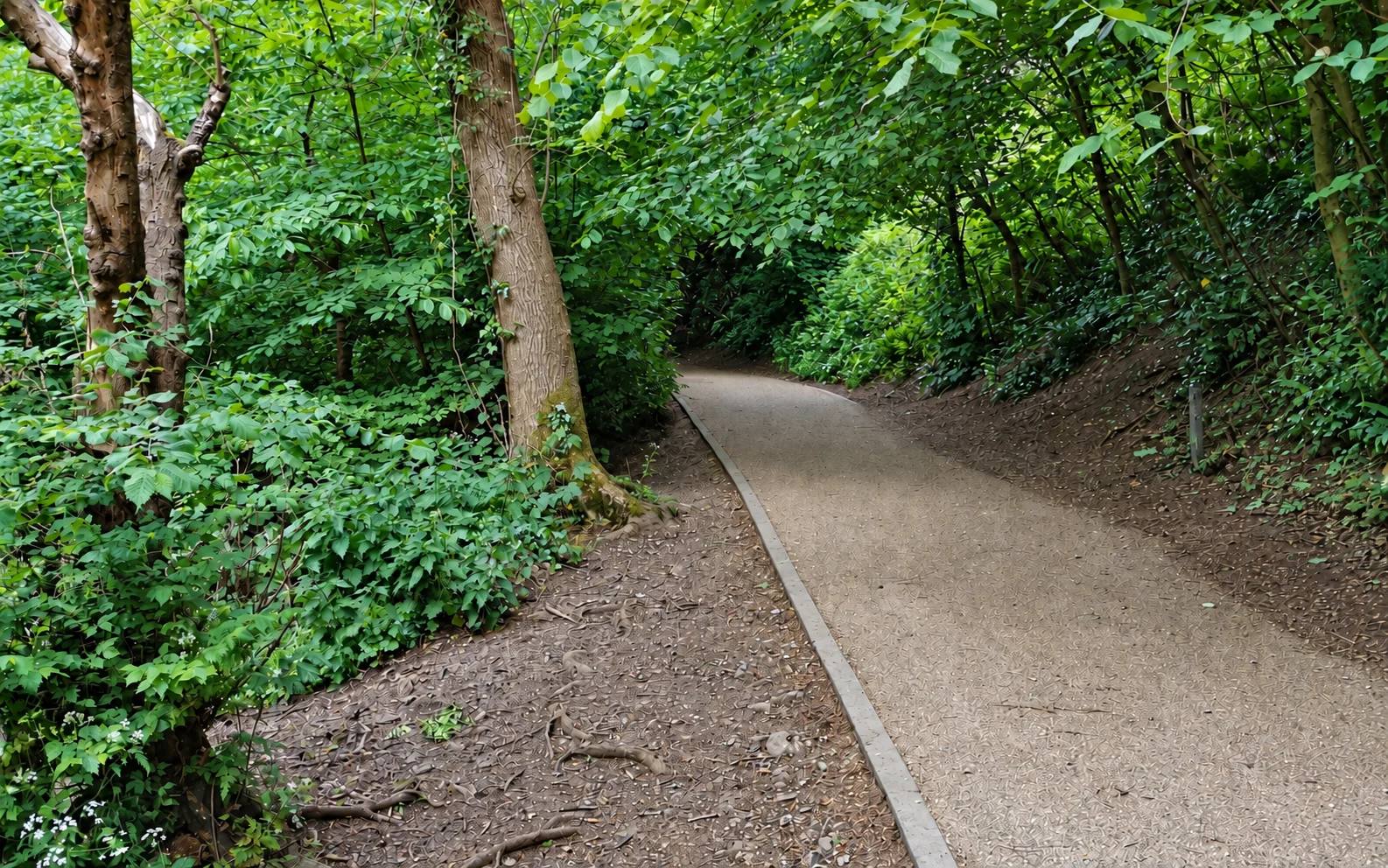
Start at Blaise Cafe and walk towards Blaise House with the play area on the left. Bear right down the surfaced path into the gorge, cross Mill Bridge, then follow the lower path beside Hazel Brook past Tarn Lake. Take the woodland path to the wooden bridge, cross it, climb through the gap in the wall and cross the field back to the cafe.
Open Bristol City Council's Blaise Gorge Walk leafletWhat dog owners need to know
Keep your dog under close control and follow signed lead-only or dog-free areas. Use a lead where needed around other visitors and wildlife.
Before you go
The estate is free and open at all times. The main Kings Weston Road and smaller Dingle car parks open from 7.30am and close seasonally, so check the posted closing time.
Watch for: The Council marks this route hard and warns of steep inclines and drops. The ground by the wooden bridge can be muddy and the final hill is long and steep.
Lockleaze and Stapleton, north-east Bristol A longer published parkland circuit with big views and historic features
Stoke Park Walk
- Distance
- Approximately 3 miles
- Time
- 1.5 to 2 hours
- Ground
- Difficult, mainly unsurfaced paths that can be boggy, with steep hills and one surfaced zig-zag descent
- Start
- The estate entrance opposite the triangle of grass just north of the Cameron Centre, from Romney Avenue
The route
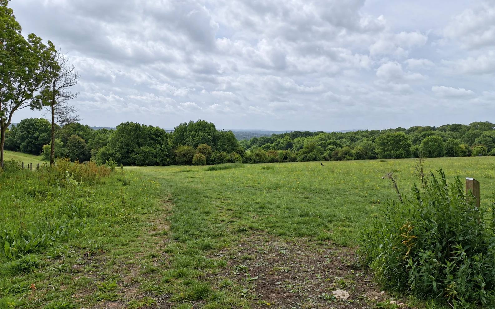
Enter opposite the grass triangle north of the Cameron Centre, pass the five fir trees and follow the Council leaflet through Barn Wood, the rotunda and Beaufort monument. The second half runs by Duchess Pond, climbs Purdown towards the telecommunications tower and returns parallel to Romney Avenue.
Open Bristol City Council's Stoke Park Walk leafletWhat dog owners need to know
Keep your dog under close control and follow signed lead-only or dog-free areas. Use a lead around conservation-grazing cattle and goats.
Before you go
There is no dedicated car park. The Council leaflet suggests nearby Romney Avenue parking; follow current street restrictions and leave entrances clear. Snuff Mills toilets are on the far side of the estate near Duchess Gate, not beside this route's Cameron Centre start.
Watch for: The Council rates the route difficult. It includes boggy ground, steep hills and grazing animals.
Fishponds and Stapleton, east Bristol A choose-your-distance River Frome walk with toilets and a clear riverside start
Oldbury Court and Snuff Mills riverside paths
- Distance
- Choose your own distance on the riverside path network
- Time
- Flexible
- Ground
- Woodland and riverside paths, with gorge slopes and potentially muddy ground
- Start
- Snuff Mills car park at the end of River View, Stapleton
The route
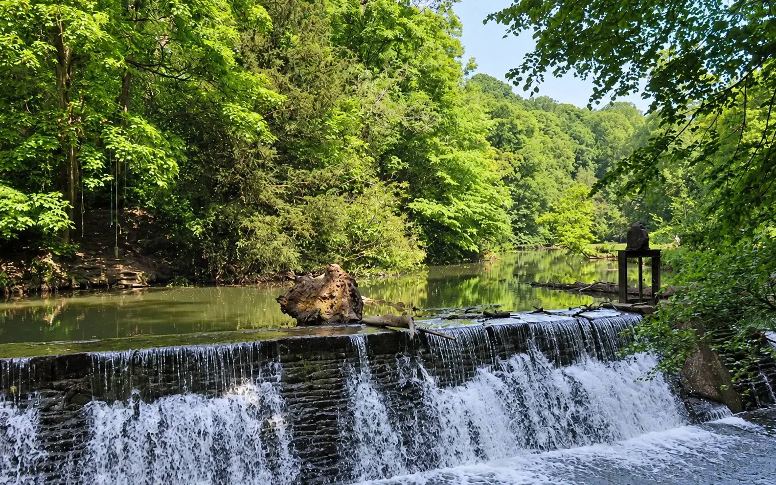
From Snuff Mills, use the riverside paths through the River Frome valley towards Oldbury Court, then turn back when the ground, daylight and your dog's recall suit. This is a flexible path network, not a published measured loop.
Open Bristol City Council's Oldbury Court Estate visitor pageWhat dog owners need to know
Keep your dog under close control on the shared riverside paths. Follow signed lead requirements and dog-free areas, including play areas, and pick up after your dog.
Before you go
Oldbury Court is free and open at all times. Snuff Mills and Oldbury Court car parks open from 8am on weekdays and 8.30am at weekends until dusk, with paid parking. Toilets are at Snuff Mills car park and beside the play area.
Watch for: The estate includes a wooded gorge, steep banks and a river. Do not rely on this flexible route as a dry, level circuit after rain.
Ashton Court, west Bristol A Council-mapped estate walk through woods, grassland and deer-park landscape
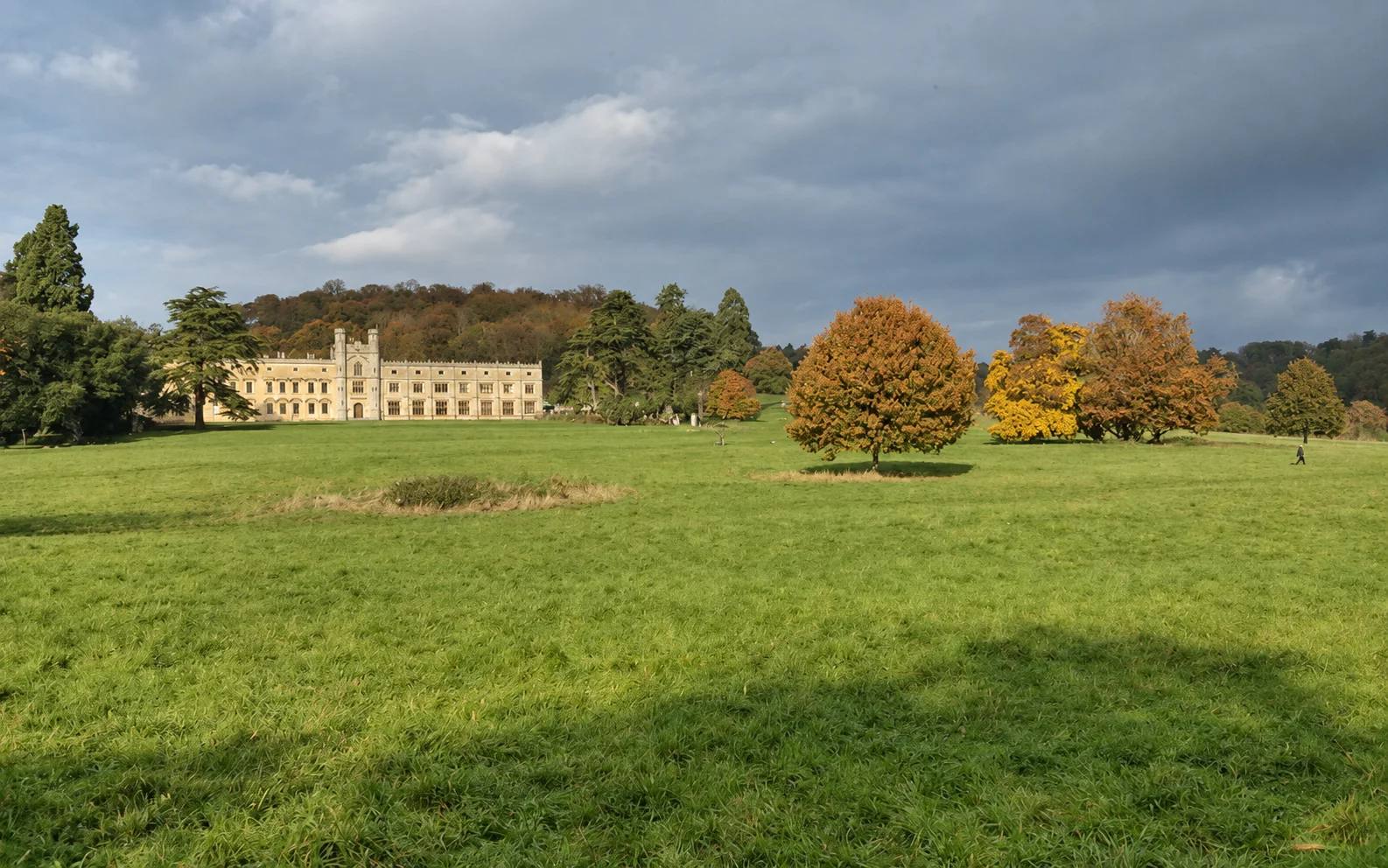
Ashton Court woodland and grassland walk
- Distance
- Approximately 6.6km (4.1 miles)
- Time
- Council estimate: 1.5 hours. Allow longer for stops.
- Ground
- Woodland, grassland and estate paths. The Council map marks uneven ground and steep slopes on the access walk.
- Start
- The Goram lawn by Ashton Court Mansion and cafe
The route
Start at The Goram lawn by the mansion and cafe, then follow the Council map through the Repton Landscape, Church Wood, Clarken Coombe Wood, the Plateau and Lime Avenue before returning to the estate centre. Stay on the map route through the deer-park landscape.
Open Bristol City Council's Ashton Court woodland and grassland walk mapWhat dog owners need to know
Keep dogs on a short lead in deer enclosures and near ponds. The Council warns that chasing deer or other wildlife can lead to prosecution; its walk leaflet asks visitors to keep dogs on leads.
Before you go
The estate is free to enter. Pick up or view the Council walking map at the Coach House, and check for events before travelling.
Watch for: Do not let dogs swim in estate ponds. The Council warns that stagnant water and blue-green algae can be hazardous.
Leigh Woods, across the Avon Gorge A short, lead-only National Trust woodland circuit with gorge-edge views
Leigh Woods Woodland Wander
- Distance
- 1 mile (1.6km)
- Time
- 30 to 45 minutes
- Ground
- A moderate circular walk on a mix of surfaced paths and grass, with a few muddy sections and uneven rocky sections that can be slippery when wet.
- Start
- National Trust's North Road entrance, grid reference ST555730
The route
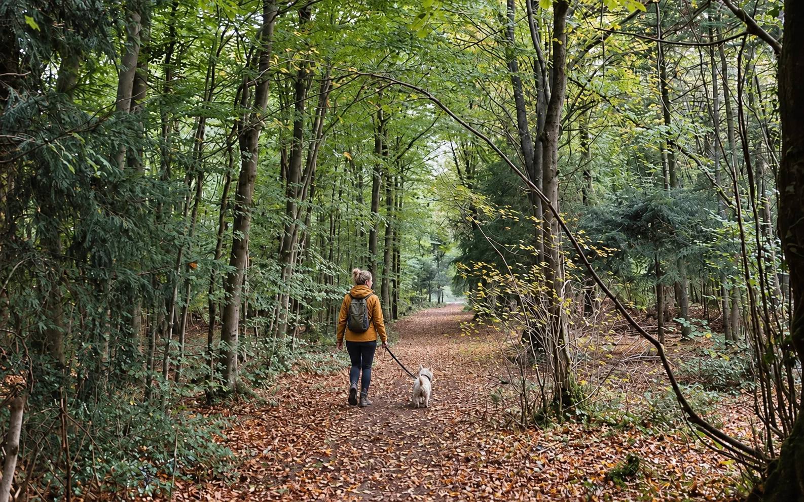
From the North Road entrance, go through the kissing gate and take the sunken track. Cross the first grass area on its right side past the whitebeams, take the narrow valley-top path to Stokeleigh Camp, then follow the grassy path to the viewpoint. Return via the Purple Trail, then the Blue Trail past the National Trust office and downhill to North Road.
Open National Trust Woodland Wander walk PDFWhat dog owners need to know
The National Trust welcomes dogs on leads in its part of Leigh Woods. Keep your dog close around cattle and follow temporary signs. This route starts at North Road and does not assume the same dog rules across neighbouring Forestry England land.
Before you go
The National Trust says the X4 from Bristol Bus Station or Anchor Road can be used to reach North Road, followed by a short level walk. The woods are open dawn to dusk.
Watch for: The core route has muddy and uneven rocky sections that can be slippery when wet. Watch for cattle signs.
St George, east Bristol A free, short choose-your-distance hill walk with an urban view
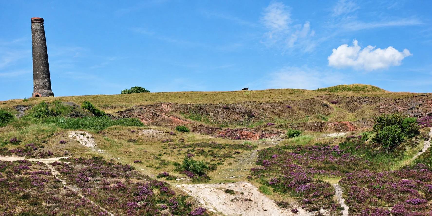
Troopers Hill nature-reserve walk
- Distance
- Choose your own distance on the hill paths
- Time
- Flexible
- Ground
- Steep hillside paths and steps from Troopers Hill Road. The separate Malvern Road approach uses a smoother track, with some slopes.
- Start
- A signed pedestrian entrance on Troopers Hill Road
The route
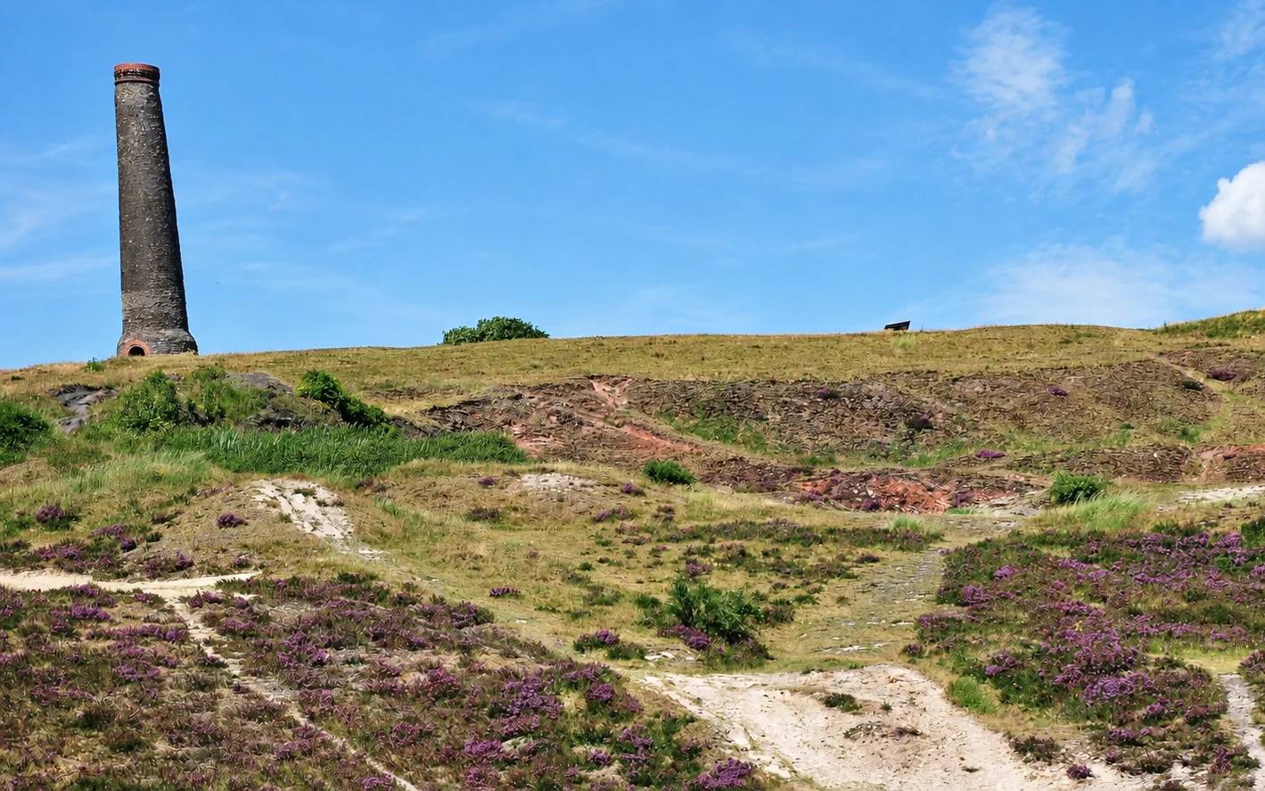
From a signed Troopers Hill Road entrance, follow the hillside paths towards the chimney and viewpoint, then return by the same approach. Expect steps and steep sections. For an approach without the main steps, enter separately from the east end of Malvern Road and use the paths around Troopers Hill Field.
Open Friends of Troopers Hill visiting informationWhat dog owners need to know
The Friends access guide says dogs can run free outside the under-5 play area. Follow current Council signs and keep close control around steep ground, other visitors and wildlife.
Before you go
There is no car park or on-site toilet. Use nearby streets considerately. The map action identifies Troopers Hill Park on the Troopers Hill Road side; it is not the Malvern Road entrance. For a larger wheelchair or scooter, contact the Friends in advance about opening the Malvern Road gate.
Watch for: The Council warns of rough and slippery ground, steep steps and very steep gully edges. Keep dogs away from drops and check for ticks after a grass walk.
Clifton Downs, west Bristol A short, flat, published meadow trail
The Downs Meadow Trail
- Distance
- 1.1km (0.7 miles)
- Time
- About 30 minutes
- Ground
- Short-grass paths that are flat, with no steps, significant slopes or stiles
- Start
- Water Tower facilities, then the leaflet's marked Meadow Trail start in the main meadow area
The route
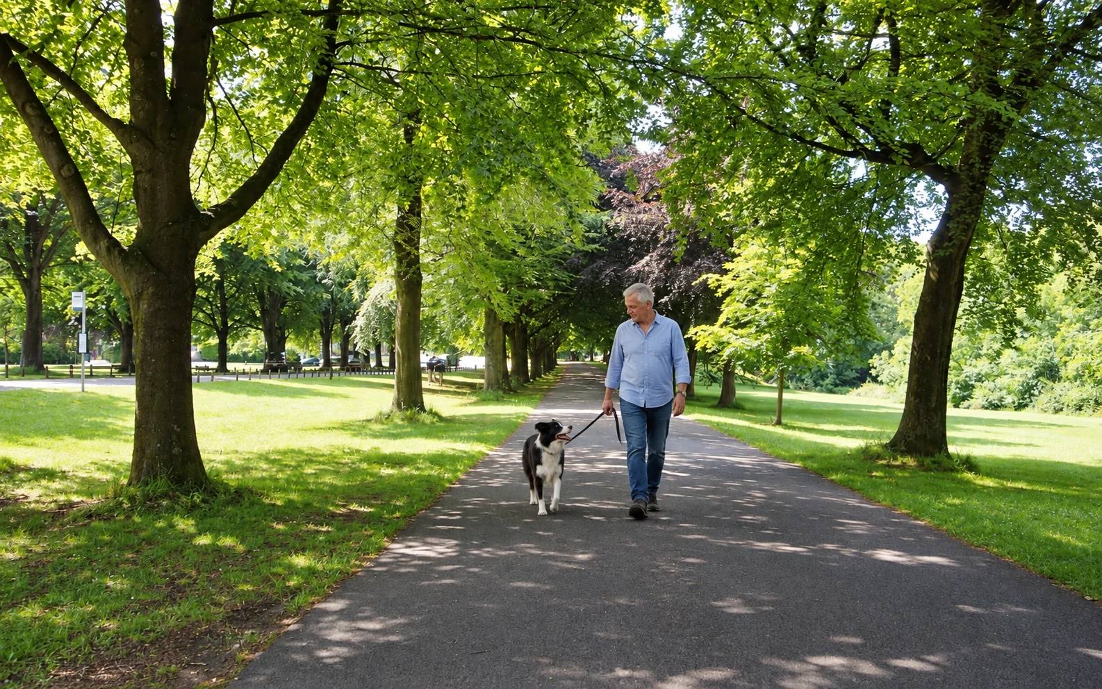
Follow the green dotted Meadow Trail shown in the Council leaflet around the main meadow area, using the marked route rather than cutting through the long-grass habitat.
Open The Downs Meadow Trail leafletWhat dog owners need to know
Keep your dog under close control and follow signed lead-only or dog-free areas. Use a lead where needed around other visitors and wildlife.
Before you go
The nearest toilets, including accessible and baby-changing facilities, are beside the Water Tower. The leaflet also identifies Clifton Down station as about a 10-minute walk away.
Watch for: The trail crosses a Site of Nature Conservation Interest. Stay on the marked meadow route and do not disturb wildlife.
Chew Valley Lake, south of Bristol A short, level lakeside wildlife trail with clear dog boundaries
Chew Valley Lake Grebe Trail
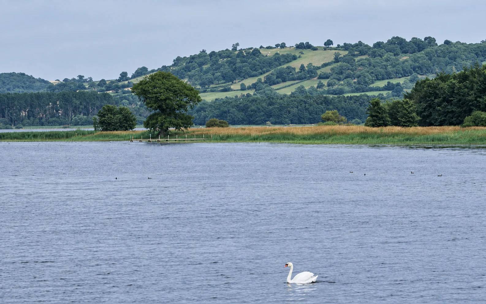
- Distance
- 1.2km
- Time
- Allow roughly 25 to 40 minutes, plus wildlife stops
- Ground
- Hard, level lakeside trail. The narrow lakeside section is not for cycles.
- Start
- Picnic Area 2 at Chew Valley Lake
The route
From Picnic Area 2, follow the red-marked 1.2km Grebe Trail between the roadside and lakeside paths. Stay on the signed Grebe loop at the eastern junction by Hollow Brook; do not join the orange Bittern Trail. The separate 2.7km Recreational Trail connects Woodford Lodge and the picnic areas.
Open Bristol Water Chew Valley Lake trails mapWhat dog owners need to know
Dogs are allowed on the Grebe Trail and in picnic areas only if on leads and out of the water. Dogs are not allowed on the orange Bittern Trail.
Before you go
Use the designated Picnic Area 2 start for this named loop. Woodford Lodge is reached by the separate 2.7km Recreational Trail, not the Grebe Trail start.
Watch for: Keep out of the Bittern Trail, keep dogs out of the lake and respect bird-hide and wildlife signs.
Getting there without a car
Taking your dog on Bristol transport
For Leigh Woods, the National Trust says the X4 from Bristol Bus Station or Anchor Road can be used to reach North Road, followed by a short level walk. The Downs Meadow Trail leaflet says Clifton Down station is about a 10-minute walk from the Downs. First Bus says recognised assistance animals travel free and other pets are at the driver's discretion, so check with the driver before travelling with a dog.
Useful questions
Before you choose a Bristol dog walk
Which Bristol dog walk is best for a short, flat route?
The Downs Meadow Trail is a published 1.1km route that the leaflet describes as flat, with no steps, significant slopes or stiles.
Where must dogs stay on leads?
Leigh Woods is lead-only under National Trust rules. At Chew Valley Lake, dogs must be on leads and out of the water on the Grebe Trail and in picnic areas, and are not allowed on the Bittern Trail. Ashton Court also requires short leads in deer enclosures and near ponds.
Which Bristol walk has a published longer circuit?
Stoke Park Walk is approximately 3 miles and takes 1.5 to 2 hours, but the Council rates it difficult because it is hilly and can be boggy.
Help keep this useful
Is something wrong?
Tell us about a changed rule, closed path or inaccurate detail. Your report enters a private review queue and never edits the page automatically.